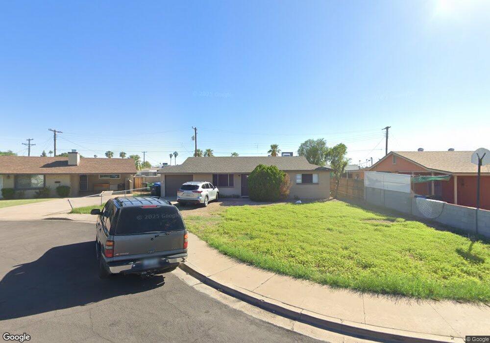
111 N Flint Cir Mesa, AZ 85201
West Main NeighborhoodEstimated Value: $304,905 - $409,000
3
Beds
2
Baths
1,148
Sq Ft
$321/Sq Ft
Est. Value
About This Home
This home is located at 111 N Flint Cir, Mesa, AZ 85201 and is currently estimated at $368,226, approximately $320 per square foot. 111 N Flint Cir is a home located in Maricopa County with nearby schools including Webster Elementary School, Franklin at Brimhall Elementary School, and Franklin West Elementary School.
Ownership History
Date
Name
Owned For
Owner Type
Purchase Details
Closed on
Dec 17, 2008
Sold by
Bennett Franklin L and Bennett Cynthia A
Bought by
Bennett Franklin L and Bennett Cynthia A
Current Estimated Value
Purchase Details
Closed on
Jun 28, 2005
Sold by
Price Ronald and Price Judi
Bought by
Bennett Franklin L and Bennett Cynthia A
Home Financials for this Owner
Home Financials are based on the most recent Mortgage that was taken out on this home.
Original Mortgage
$104,800
Outstanding Balance
$54,672
Interest Rate
5.65%
Mortgage Type
New Conventional
Estimated Equity
$313,554
Purchase Details
Closed on
Apr 4, 2003
Sold by
The Rjp Guardian I Family Lp
Bought by
Price Ronald L and Price Judi T
Create a Home Valuation Report for This Property
The Home Valuation Report is an in-depth analysis detailing your home's value as well as a comparison with similar homes in the area
Home Values in the Area
Average Home Value in this Area
Purchase History
| Date | Buyer | Sale Price | Title Company |
|---|---|---|---|
| Bennett Franklin L | -- | None Available | |
| Bennett Franklin L | $131,000 | Chicago Title Insurance Co | |
| Price Ronald L | -- | -- |
Source: Public Records
Mortgage History
| Date | Status | Borrower | Loan Amount |
|---|---|---|---|
| Open | Bennett Franklin L | $104,800 |
Source: Public Records
Tax History Compared to Growth
Tax History
| Year | Tax Paid | Tax Assessment Tax Assessment Total Assessment is a certain percentage of the fair market value that is determined by local assessors to be the total taxable value of land and additions on the property. | Land | Improvement |
|---|---|---|---|---|
| 2025 | $776 | $7,864 | -- | -- |
| 2024 | $778 | $7,490 | -- | -- |
| 2023 | $778 | $25,050 | $5,010 | $20,040 |
| 2022 | $762 | $19,120 | $3,820 | $15,300 |
| 2021 | $771 | $17,600 | $3,520 | $14,080 |
| 2020 | $761 | $15,260 | $3,050 | $12,210 |
| 2019 | $711 | $14,670 | $2,930 | $11,740 |
| 2018 | $683 | $12,620 | $2,520 | $10,100 |
| 2017 | $662 | $11,350 | $2,270 | $9,080 |
| 2016 | $650 | $10,820 | $2,160 | $8,660 |
| 2015 | $611 | $8,170 | $1,630 | $6,540 |
Source: Public Records
Map
Nearby Homes
- 116 N Jade Cir
- 1716 W Main St
- 1728 W Bentley St
- 2030 W 1st St
- 416 N Ash
- 2034 W 3rd St
- 2064 W 2nd St
- 238 N Standage
- 225 N Standage Unit 146
- 225 N Standage Unit 89
- 35 N May
- 1462 W University Dr
- 2220 W Dora St Unit 114
- 2727 E University Dr Unit 134
- 2727 E University Dr Unit 78
- 2727 E University Dr Unit 153
- 2727 E University Dr Unit 62
- 2727 E University Dr Unit 19
- 2727 E University Dr Unit 84
- 2727 E University Dr Unit 60
- 105 N Flint Cir
- 119 N Flint Cir
- 110 N Jade Cir
- 104 N Jade Cir
- 121 N Flint Cir
- 114 N Flint Cir
- 106 N Flint Cir
- 118 N Flint Cir
- 1735 W Alcott St
- 1729 W Alcott St
- 1743 W Alcott St
- 1733 W Auburn St
- 1725 W Auburn St
- 1721 W Alcott St
- 1741 W Auburn St
- 1749 W Alcott St
- 1719 W Auburn St
- 117 N Jade Cir
- 113 N Sycamore
- 1715 W Alcott St