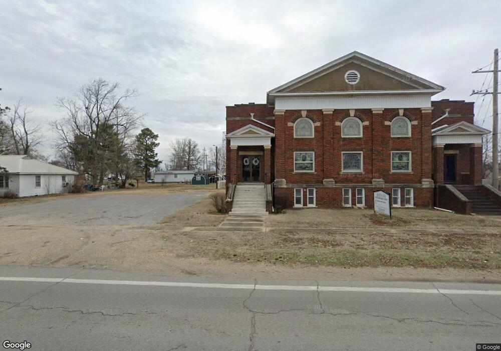
111 N Highway Cc Bertrand, MO 63823
Estimated Value: $187,000 - $261,896
3
Beds
--
Bath
2,463
Sq Ft
$92/Sq Ft
Est. Value
About This Home
This home is located at 111 N Highway Cc, Bertrand, MO 63823 and is currently estimated at $225,974, approximately $91 per square foot. 111 N Highway Cc is a home with nearby schools including R. A. Doyle Elementary School, A. J. Martin Elementary School, and East Prairie Junior High School.
Ownership History
Date
Name
Owned For
Owner Type
Purchase Details
Closed on
Nov 30, 2023
Sold by
Maxell Blane and Maxell Elizabeth
Bought by
Maxwell Blane and Maxwell Elizabeth
Current Estimated Value
Home Financials for this Owner
Home Financials are based on the most recent Mortgage that was taken out on this home.
Original Mortgage
$216,000
Outstanding Balance
$212,503
Interest Rate
7.63%
Mortgage Type
New Conventional
Estimated Equity
$13,471
Purchase Details
Closed on
Oct 5, 2023
Sold by
Maxwell Jerry and Maxwell Janie
Bought by
Maxwell Blane
Home Financials for this Owner
Home Financials are based on the most recent Mortgage that was taken out on this home.
Original Mortgage
$216,000
Outstanding Balance
$212,503
Interest Rate
7.63%
Mortgage Type
New Conventional
Estimated Equity
$13,471
Purchase Details
Closed on
Sep 27, 2022
Sold by
Maxwell Jerry and Maxwell Janie
Bought by
Maxwell Jerry and Maxwell Janie
Create a Home Valuation Report for This Property
The Home Valuation Report is an in-depth analysis detailing your home's value as well as a comparison with similar homes in the area
Home Values in the Area
Average Home Value in this Area
Purchase History
| Date | Buyer | Sale Price | Title Company |
|---|---|---|---|
| Maxwell Blane | -- | None Listed On Document | |
| Maxwell Blane | -- | None Listed On Document | |
| Maxwell Jerry | -- | None Listed On Document |
Source: Public Records
Mortgage History
| Date | Status | Borrower | Loan Amount |
|---|---|---|---|
| Open | Maxwell Blane | $216,000 |
Source: Public Records
Tax History Compared to Growth
Tax History
| Year | Tax Paid | Tax Assessment Tax Assessment Total Assessment is a certain percentage of the fair market value that is determined by local assessors to be the total taxable value of land and additions on the property. | Land | Improvement |
|---|---|---|---|---|
| 2024 | $1,689 | $31,770 | $0 | $0 |
| 2023 | $1,692 | $31,770 | $0 | $0 |
| 2022 | $1,648 | $30,930 | $0 | $0 |
| 2021 | $1,440 | $30,760 | $0 | $0 |
| 2020 | $1,440 | $27,060 | $0 | $0 |
| 2019 | $1,441 | $27,060 | $0 | $0 |
| 2018 | $1,083 | $22,610 | $0 | $0 |
| 2016 | $0 | $26,130 | $0 | $26,130 |
| 2011 | $1,207 | $25,130 | $0 | $0 |
Source: Public Records
Map
Nearby Homes
- 20 & 30 Artic Ln
- 634 N 425th Rd
- 7045 W 408 Rd
- 258 County Highway 807
- 0 County Hwy 544 Unit MAR25013765
- 2565 W Highway 80
- 49 Alesia Dr
- 200 Margaret Dr
- 112 Cynthia St
- 209 S Davis Rd
- 101 E Cedar St
- 9,10,11,12 Peggy St
- 211 E Elm St
- 38 Matt St
- 211 W Olive St
- 207 W Olive St
- 224 S Interstate Dr
- 212 Millar St
- 104 Ashley Dr
- 1005 Glenn Dr