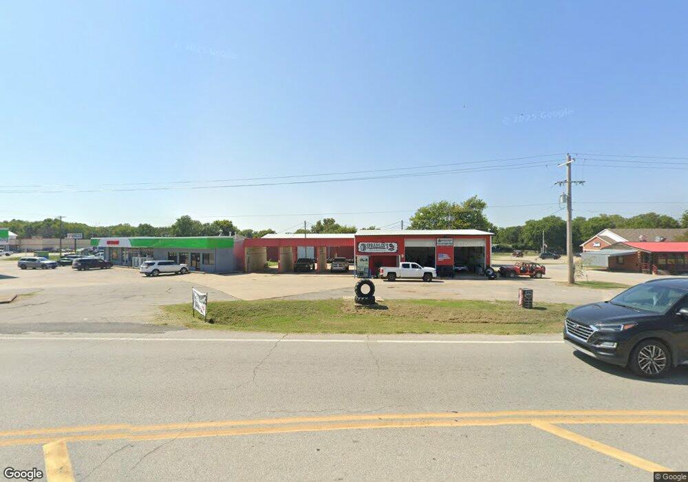
111 N Hwy 82 Locust Grove, OK 74352
Estimated Value: $175,747
--
Bed
--
Bath
2,028
Sq Ft
$87/Sq Ft
Est. Value
About This Home
This home is located at 111 N Hwy 82, Locust Grove, OK 74352 and is currently estimated at $175,747, approximately $86 per square foot. 111 N Hwy 82 is a home located in Mayes County with nearby schools including Locust Grove Early Lrning Center, Locust Grove Upper Elementary School, and Locust Grove Middle School.
Ownership History
Date
Name
Owned For
Owner Type
Purchase Details
Closed on
Feb 28, 2025
Sold by
Ljs Cafe Llc
Bought by
Yang May and Lee Kevin
Current Estimated Value
Purchase Details
Closed on
Aug 7, 2024
Sold by
Sitsler James and Sitsler Joyce
Bought by
Rogers Jimmie D and Cripe Lora
Purchase Details
Closed on
Dec 4, 2019
Sold by
Sitsler James and Sitsler Joyce
Bought by
Harris Gavin
Purchase Details
Closed on
Jul 24, 2018
Sold by
Saffell W Clay
Bought by
Sitsier James and Sitsier Joyce
Purchase Details
Closed on
May 21, 2014
Sold by
Rowland J T
Bought by
Safell W Clay
Create a Home Valuation Report for This Property
The Home Valuation Report is an in-depth analysis detailing your home's value as well as a comparison with similar homes in the area
Home Values in the Area
Average Home Value in this Area
Purchase History
| Date | Buyer | Sale Price | Title Company |
|---|---|---|---|
| Yang May | $140,000 | First American Title | |
| Yang May | $140,000 | First American Title | |
| Rogers Jimmie D | $171,000 | Clear Title & Closings | |
| Harris Gavin | $115,000 | Mayes County Abstract Co | |
| Sitsier James | $145,000 | None Available | |
| Safell W Clay | $83,000 | None Available |
Source: Public Records
Tax History Compared to Growth
Tax History
| Year | Tax Paid | Tax Assessment Tax Assessment Total Assessment is a certain percentage of the fair market value that is determined by local assessors to be the total taxable value of land and additions on the property. | Land | Improvement |
|---|---|---|---|---|
| 2025 | $1,485 | $16,761 | $6,793 | $9,968 |
| 2024 | $1,485 | $15,963 | $6,470 | $9,493 |
| 2023 | $1,485 | $15,203 | $5,984 | $9,219 |
| 2022 | $1,306 | $14,479 | $4,558 | $9,921 |
| 2021 | $1,271 | $13,790 | $4,471 | $9,319 |
| 2020 | $1,228 | $13,133 | $2,352 | $10,781 |
| 2019 | $1,703 | $18,190 | $7,677 | $10,513 |
| 2018 | $888 | $9,299 | $3,721 | $5,578 |
| 2017 | $889 | $9,299 | $3,721 | $5,578 |
| 2016 | $868 | $9,299 | $3,721 | $5,578 |
| 2015 | $895 | $9,298 | $3,721 | $5,577 |
| 2014 | $511 | $5,305 | $2,098 | $3,207 |
Source: Public Records
Map
Nearby Homes
- 0 Hwy 82 S Unit 2503331
- 302 S Hwy 82
- 57 Joe Koelsch Dr
- 43 Joe Koelsch Dr
- 8604 S County Road 4468
- 608 S Cherokee St
- 715 S Cherokee St
- 815 S Cherokee St
- 00 Hill St
- 301 S Water St
- 202 E Radcliff St
- 212 N Mayes St
- 415 N Broadway
- 1 W Ross St
- 310 W Harrison
- 000 Earl Smith Rd
- 0 Peach St
- 0 Orange St
- 0 443 Unit 2440616
- 149 SE 4404 Loop