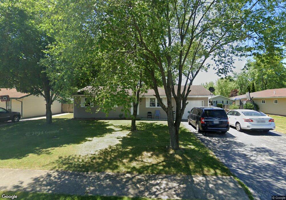
111 N Meadow Dr Mc Comb, OH 45858
McComb NeighborhoodEstimated Value: $142,000 - $151,000
3
Beds
1
Bath
1,000
Sq Ft
$147/Sq Ft
Est. Value
About This Home
This home is located at 111 N Meadow Dr, Mc Comb, OH 45858 and is currently estimated at $146,747, approximately $146 per square foot. 111 N Meadow Dr is a home located in Hancock County with nearby schools including McComb Elementary School, McComb Middle School, and Mccomb Local High School.
Ownership History
Date
Name
Owned For
Owner Type
Purchase Details
Closed on
Jan 26, 2016
Bought by
Acasta Laris Maria Carolina Delgado
Current Estimated Value
Home Financials for this Owner
Home Financials are based on the most recent Mortgage that was taken out on this home.
Interest Rate
3.81%
Purchase Details
Closed on
Aug 4, 2015
Bought by
Oakes Ronald L and Oakes Patricia A
Home Financials for this Owner
Home Financials are based on the most recent Mortgage that was taken out on this home.
Interest Rate
3.98%
Purchase Details
Closed on
Jul 17, 2006
Sold by
Babcock Charlene M
Bought by
Byrd Jason
Home Financials for this Owner
Home Financials are based on the most recent Mortgage that was taken out on this home.
Original Mortgage
$82,650
Interest Rate
6.82%
Mortgage Type
Unknown
Purchase Details
Closed on
Sep 23, 1991
Bought by
Babcock Charlene M
Purchase Details
Closed on
Dec 7, 1989
Bought by
Us Farmers Home Admin
Purchase Details
Closed on
Jun 12, 1984
Bought by
Ogg Debra J
Purchase Details
Closed on
Nov 25, 1981
Bought by
Wright Kevin L and Wright Michelle
Create a Home Valuation Report for This Property
The Home Valuation Report is an in-depth analysis detailing your home's value as well as a comparison with similar homes in the area
Home Values in the Area
Average Home Value in this Area
Purchase History
| Date | Buyer | Sale Price | Title Company |
|---|---|---|---|
| Acasta Laris Maria Carolina Delgado | $84,900 | -- | |
| Oakes Ronald L | $36,000 | -- | |
| Byrd Jason | $87,000 | Premiere Title Agency | |
| Babcock Charlene M | -- | -- | |
| Us Farmers Home Admin | -- | -- | |
| Ogg Debra J | $38,000 | -- | |
| Wright Kevin L | -- | -- |
Source: Public Records
Mortgage History
| Date | Status | Borrower | Loan Amount |
|---|---|---|---|
| Closed | Oakes Ronald L | -- | |
| Previous Owner | Oakes Ronald L | -- | |
| Previous Owner | Byrd Jason | $82,650 |
Source: Public Records
Tax History
| Year | Tax Paid | Tax Assessment Tax Assessment Total Assessment is a certain percentage of the fair market value that is determined by local assessors to be the total taxable value of land and additions on the property. | Land | Improvement |
|---|---|---|---|---|
| 2024 | $1,326 | $38,140 | $4,700 | $33,440 |
| 2023 | $1,318 | $38,140 | $4,700 | $33,440 |
| 2022 | $1,561 | $38,140 | $4,700 | $33,440 |
| 2021 | $1,284 | $28,280 | $4,260 | $24,020 |
| 2020 | $1,101 | $28,280 | $4,260 | $24,020 |
| 2019 | $1,206 | $28,280 | $4,260 | $24,020 |
| 2018 | $1,002 | $24,590 | $3,700 | $20,890 |
| 2017 | $1,008 | $24,590 | $3,700 | $20,890 |
| 2016 | $922 | $24,590 | $3,700 | $20,890 |
| 2015 | $809 | $20,330 | $3,490 | $16,840 |
| 2014 | $836 | $20,750 | $3,490 | $17,260 |
| 2012 | $1,172 | $24,280 | $3,490 | $20,790 |
Source: Public Records
Map
Nearby Homes
- 223 Cherry St
- 257 S Main St
- 131 E South St
- 3470 Ohio 235
- 0 Joshua Rd Unit 6126475
- 4609 Township Road 235
- 4134 County Road 203
- 3111 Township Road 93
- 4014 County Road 139
- 358 State Route 613
- 1128 County Road 139
- 7780 Township Road 89
- 0 Rock Candy Rd Unit Lot 159
- 0 Rock Candy Rd Unit Lot 170
- 0 Rock Candy Rd Unit Lot 172 206819
- 0 Rock Candy Rd Unit Lot 162
- 0 Rock Candy Rd Unit Lot 171
- 0 Rock Candy Rd Unit Lot 168
- 9894 Smokies Way
- 0 Rock Candy Rd Or Bushwillow Dr Unit Lot 173
Your Personal Tour Guide
Ask me questions while you tour the home.