111 N Parkside Dr Pittsboro, NC 27312
Estimated Value: $692,000 - $996,000
6
Beds
5
Baths
4,907
Sq Ft
$182/Sq Ft
Est. Value
About This Home
This home is located at 111 N Parkside Dr, Pittsboro, NC 27312 and is currently estimated at $892,506, approximately $181 per square foot. 111 N Parkside Dr is a home with nearby schools including Pittsboro Elementary School, George Moses Horton Middle School, and Northwood High.
Ownership History
Date
Name
Owned For
Owner Type
Purchase Details
Closed on
Aug 17, 2023
Sold by
Ashton Raleigh Residential Llc
Bought by
Arora Amit and Arora Neha
Current Estimated Value
Home Financials for this Owner
Home Financials are based on the most recent Mortgage that was taken out on this home.
Original Mortgage
$602,880
Outstanding Balance
$585,897
Interest Rate
5.88%
Mortgage Type
New Conventional
Estimated Equity
$306,609
Create a Home Valuation Report for This Property
The Home Valuation Report is an in-depth analysis detailing your home's value as well as a comparison with similar homes in the area
Home Values in the Area
Average Home Value in this Area
Purchase History
| Date | Buyer | Sale Price | Title Company |
|---|---|---|---|
| Arora Amit | $754,000 | None Listed On Document |
Source: Public Records
Mortgage History
| Date | Status | Borrower | Loan Amount |
|---|---|---|---|
| Open | Arora Amit | $602,880 |
Source: Public Records
Tax History Compared to Growth
Tax History
| Year | Tax Paid | Tax Assessment Tax Assessment Total Assessment is a certain percentage of the fair market value that is determined by local assessors to be the total taxable value of land and additions on the property. | Land | Improvement |
|---|---|---|---|---|
| 2025 | $6,073 | $833,195 | $47,634 | $785,561 |
| 2024 | $6,073 | $549,793 | $40,629 | $509,164 |
| 2023 | $4,906 | $36,566 | $36,566 | $0 |
| 2022 | $289 | $36,566 | $36,566 | $0 |
| 2021 | $289 | $36,566 | $36,566 | $0 |
| 2020 | $535 | $67,500 | $67,500 | $0 |
| 2019 | $535 | $67,500 | $67,500 | $0 |
| 2018 | $507 | $67,500 | $67,500 | $0 |
| 2017 | $507 | $67,500 | $67,500 | $0 |
| 2016 | $896 | $118,452 | $118,452 | $0 |
| 2015 | $882 | $118,452 | $118,452 | $0 |
| 2014 | $437 | $59,226 | $59,226 | $0 |
| 2013 | -- | $59,226 | $59,226 | $0 |
Source: Public Records
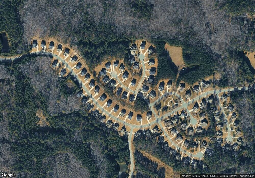
Map
Nearby Homes
- 720 the Parks Dr
- 1496 the Parks Dr
- 49 Cloudview Ct
- 11 Grey Oak Ct
- 829 Chapel Ridge Dr
- 462 Chapel Ridge Dr
- 485 Chapel Ridge Dr
- 558 Chapel Ridge Dr
- 316 Chapel Ridge Dr
- 9 High Ridge Ln
- 25 High Ridge Ln
- 121 Chapel Ridge Dr
- 191 High Ridge Ln
- 249 High Ridge Ln
- 21 Bob White Way
- 25 Blackhorn Ct
- 13 Blackhorn Ct
- TBD Alston Horton Service Rd
- 149 Brandy Mill
- 303 Wendover Pkwy
- 89 N Parkside Dr
- 127 N Parkside Dr
- 71 N Parkside Dr
- 436 the Parks Dr Unit 81
- 466 the Parks Dr
- 144 N Parkside Dr Unit Lot 67
- 490 the Parks Dr
- 490 the Parks Dr Unit Lot 83
- 149 N Parkside Dr Unit 73
- 106 N Parkside Dr Unit 66
- 33 Pinwheel Dr
- 418 the Parks Dr Unit 80
- 418 the Parks Dr
- 512 the Parks Dr
- 24 Pinwheel Dr
- 62 N Parkside Dr
- 386 the Parks Dr Unit 79
- 165 N Parkside Dr
- 526 the Parks Dr Unit 85
- 162 N Parkside Dr Unit Lot 68