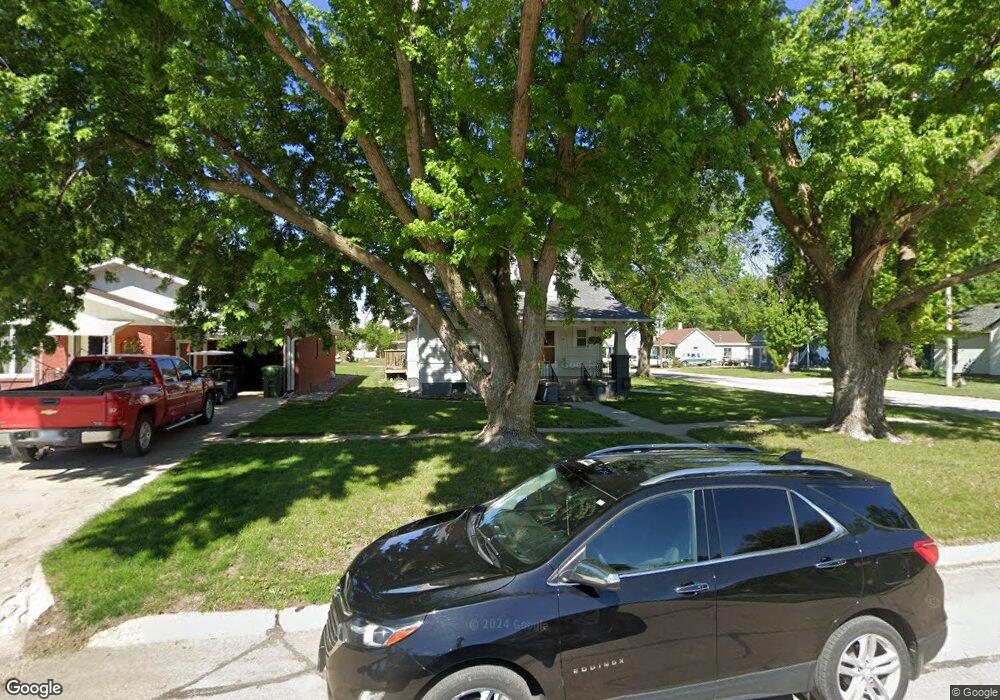
111 N Way Ave Sutton, NE 68979
Estimated Value: $171,000 - $207,000
5
Beds
2
Baths
1,800
Sq Ft
$106/Sq Ft
Est. Value
About This Home
This home is located at 111 N Way Ave, Sutton, NE 68979 and is currently estimated at $190,967, approximately $106 per square foot. 111 N Way Ave is a home located in Clay County with nearby schools including Sutton Elementary School, Sutton Secondary School, and Sutton Christian School.
Ownership History
Date
Name
Owned For
Owner Type
Purchase Details
Closed on
Jan 24, 2023
Sold by
Brodrick Richard D
Bought by
Williamson Kyle Todd and Williamson Bridget Louise
Current Estimated Value
Home Financials for this Owner
Home Financials are based on the most recent Mortgage that was taken out on this home.
Original Mortgage
$153,260
Outstanding Balance
$148,265
Interest Rate
6.31%
Mortgage Type
New Conventional
Estimated Equity
$42,702
Purchase Details
Closed on
Mar 15, 2011
Sold by
Griess Lavina L and Brodrick Lavina L
Bought by
Brodrick Richard D
Create a Home Valuation Report for This Property
The Home Valuation Report is an in-depth analysis detailing your home's value as well as a comparison with similar homes in the area
Home Values in the Area
Average Home Value in this Area
Purchase History
| Date | Buyer | Sale Price | Title Company |
|---|---|---|---|
| Williamson Kyle Todd | $158,000 | Adams Land Title | |
| Brodrick Richard D | -- | -- |
Source: Public Records
Mortgage History
| Date | Status | Borrower | Loan Amount |
|---|---|---|---|
| Open | Williamson Kyle Todd | $153,260 |
Source: Public Records
Tax History Compared to Growth
Tax History
| Year | Tax Paid | Tax Assessment Tax Assessment Total Assessment is a certain percentage of the fair market value that is determined by local assessors to be the total taxable value of land and additions on the property. | Land | Improvement |
|---|---|---|---|---|
| 2025 | $1,695 | $127,720 | $3,360 | $124,360 |
| 2024 | $1,695 | $110,565 | $3,360 | $107,205 |
| 2023 | $2,066 | $110,565 | $3,360 | $107,205 |
| 2022 | $1,559 | $84,410 | $2,335 | $82,075 |
| 2021 | $1,503 | $79,765 | $2,335 | $77,430 |
| 2020 | $1,424 | $79,765 | $2,335 | $77,430 |
| 2019 | $1,217 | $68,515 | $2,335 | $66,180 |
| 2018 | $1,222 | $68,515 | $2,335 | $66,180 |
| 2017 | $1,180 | $68,515 | $2,335 | $66,180 |
| 2016 | $1,157 | $61,540 | $2,340 | $59,200 |
| 2015 | $1,211 | $61,540 | $2,340 | $59,200 |
| 2014 | -- | $61,540 | $2,340 | $59,200 |
| 2013 | -- | $61,540 | $2,340 | $59,200 |
Source: Public Records
Map
Nearby Homes
- 209 E Grove St
- 105 S Maltby Ave
- 403 S Way
- 404 S Maltby Ave
- 505 N Saunders Ave
- 610 E Maple St
- 502 S Maltby Ave
- 507 S Maltby Ave
- 512 N James Ave
- 304 W Ash St
- 506 W Cedar St
- . Schwab Subdivision Lots
- 712 S Maltby Ave
- Lot 3 Wellman Schwab Subdivision Ave
- 811 S Saunders Ave
- 813 W Grandview St
- Road 315
- Sutton Unit NE 68979
- 401 Chestnut St
- 1820 Road 6