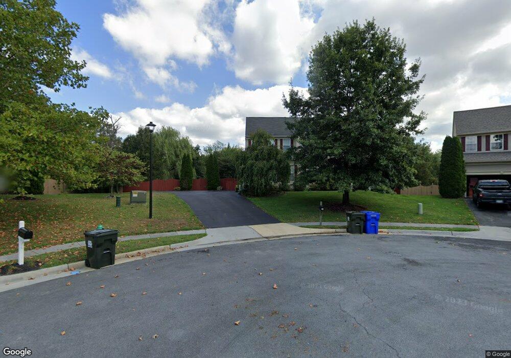
111 Nescliffe Ct Winchester, VA 22602
Estimated Value: $587,000 - $647,000
4
Beds
4
Baths
3,219
Sq Ft
$193/Sq Ft
Est. Value
About This Home
This home is located at 111 Nescliffe Ct, Winchester, VA 22602 and is currently estimated at $620,708, approximately $192 per square foot. 111 Nescliffe Ct is a home located in Frederick County with nearby schools including Admiral Richard E. Byrd Middle School, Millbrook High School, and Sharon's Centre.
Ownership History
Date
Name
Owned For
Owner Type
Purchase Details
Closed on
Apr 21, 2005
Sold by
Richmond American Hms Of
Bought by
Lukehart Ryan
Current Estimated Value
Home Financials for this Owner
Home Financials are based on the most recent Mortgage that was taken out on this home.
Original Mortgage
$291,272
Outstanding Balance
$151,186
Interest Rate
5.87%
Mortgage Type
New Conventional
Estimated Equity
$469,522
Create a Home Valuation Report for This Property
The Home Valuation Report is an in-depth analysis detailing your home's value as well as a comparison with similar homes in the area
Home Values in the Area
Average Home Value in this Area
Purchase History
| Date | Buyer | Sale Price | Title Company |
|---|---|---|---|
| Lukehart Ryan | $364,500 | -- |
Source: Public Records
Mortgage History
| Date | Status | Borrower | Loan Amount |
|---|---|---|---|
| Open | Lukehart Ryan | $291,272 |
Source: Public Records
Tax History
| Year | Tax Paid | Tax Assessment Tax Assessment Total Assessment is a certain percentage of the fair market value that is determined by local assessors to be the total taxable value of land and additions on the property. | Land | Improvement |
|---|---|---|---|---|
| 2025 | $3,116 | $649,100 | $103,000 | $546,100 |
| 2024 | $1,458 | $571,600 | $87,000 | $484,600 |
| 2023 | $2,915 | $571,600 | $87,000 | $484,600 |
| 2022 | $2,735 | $448,400 | $82,000 | $366,400 |
| 2021 | $2,735 | $448,400 | $82,000 | $366,400 |
| 2020 | $2,589 | $424,500 | $82,000 | $342,500 |
| 2019 | $2,589 | $424,500 | $82,000 | $342,500 |
| 2018 | $2,448 | $401,300 | $82,000 | $319,300 |
| 2017 | $2,408 | $401,300 | $82,000 | $319,300 |
| 2016 | $2,197 | $366,200 | $64,500 | $301,700 |
| 2015 | $2,051 | $366,200 | $64,500 | $301,700 |
| 2014 | $946 | $343,700 | $64,500 | $279,200 |
Source: Public Records
Map
Nearby Homes
- 211 Lynnehaven Dr
- 0 7 Building Lots In Shawneeland Unit VAFV2032844
- 110 Ware Place
- 619 Farmington Blvd
- 101 Maury Way
- 105 Amberfield Ct
- 116 Maury Way
- 102 Brockham Ct
- 100 Brockham Ct
- 253 Rossmann Blvd
- 251 Rossmann Blvd
- 225 Farmington Blvd
- 151 Mccormick Cir Unit 201
- 151 Mccormick Cir Unit 203
- 104 Monet Terrace
- 2015 Senseny Rd
- 119 Foxglove Dr
- 0 Grocery Ave Unit VAFV2015654
- 202 Emily Ln
- 144 Morning Glory Dr
- 109 Nescliffe Ct
- 110 Nescliffe Ct
- 108 Nescliffe Ct
- 103 Walker Ct
- 107 Nescliffe Ct
- 106 Nescliffe Ct
- 105 Nescliffe Ct
- 211 Ladyslipper Dr
- 105 Walker Ct
- 109 Lynnehaven Dr
- 111 Lynnehaven Dr
- 104 Nescliffe Ct
- 213 Ladyslipper Dr
- 105 Lynnehaven Dr
- 103 Nescliffe Ct
- 134 Lynnehaven Dr
- 117 Lynnehaven Dr
- 102 Walker Ct
- 207 Ladyslipper Dr
- 107 Walker Ct
Your Personal Tour Guide
Ask me questions while you tour the home.