111 Netcong Cir Pocono Lake, PA 18347
Estimated Value: $287,000 - $324,000
2
Beds
1
Bath
1,752
Sq Ft
$171/Sq Ft
Est. Value
About This Home
This home is located at 111 Netcong Cir, Pocono Lake, PA 18347 and is currently estimated at $299,224, approximately $170 per square foot. 111 Netcong Cir is a home with nearby schools including Tobyhanna Elementary Center, Clear Run Intermediate School, and Pocono Mountain West Junior High School.
Ownership History
Date
Name
Owned For
Owner Type
Purchase Details
Closed on
Jul 2, 2014
Sold by
Bradley Emily E
Bought by
Bradley Jennifer A and Bradley Scott J
Current Estimated Value
Purchase Details
Closed on
Jul 11, 2011
Sold by
Crowe Joseph and Crowe Kristine
Bought by
Bradley Emily E
Purchase Details
Closed on
Jul 25, 2008
Sold by
Franconeri Joseph and Franconeri Maryann
Bought by
Crowe Joseph and Crowe Kristine
Home Financials for this Owner
Home Financials are based on the most recent Mortgage that was taken out on this home.
Original Mortgage
$117,000
Interest Rate
6.35%
Mortgage Type
Purchase Money Mortgage
Create a Home Valuation Report for This Property
The Home Valuation Report is an in-depth analysis detailing your home's value as well as a comparison with similar homes in the area
Home Values in the Area
Average Home Value in this Area
Purchase History
| Date | Buyer | Sale Price | Title Company |
|---|---|---|---|
| Bradley Jennifer A | -- | None Available | |
| Bradley Emily E | $113,500 | None Available | |
| Crowe Joseph | $130,000 | None Available |
Source: Public Records
Mortgage History
| Date | Status | Borrower | Loan Amount |
|---|---|---|---|
| Previous Owner | Crowe Joseph | $117,000 |
Source: Public Records
Tax History Compared to Growth
Tax History
| Year | Tax Paid | Tax Assessment Tax Assessment Total Assessment is a certain percentage of the fair market value that is determined by local assessors to be the total taxable value of land and additions on the property. | Land | Improvement |
|---|---|---|---|---|
| 2025 | $1,029 | $129,020 | $21,450 | $107,570 |
| 2024 | $836 | $129,020 | $21,450 | $107,570 |
| 2023 | $3,281 | $129,020 | $21,450 | $107,570 |
| 2022 | $3,235 | $129,020 | $21,450 | $107,570 |
| 2021 | $3,235 | $129,020 | $21,450 | $107,570 |
| 2020 | $2,782 | $129,020 | $21,450 | $107,570 |
| 2019 | $3,089 | $17,990 | $1,950 | $16,040 |
| 2018 | $3,089 | $17,990 | $1,950 | $16,040 |
| 2017 | $3,125 | $17,990 | $1,950 | $16,040 |
| 2016 | $656 | $17,990 | $1,950 | $16,040 |
| 2015 | -- | $17,990 | $1,950 | $16,040 |
| 2014 | -- | $15,580 | $1,950 | $13,630 |
Source: Public Records
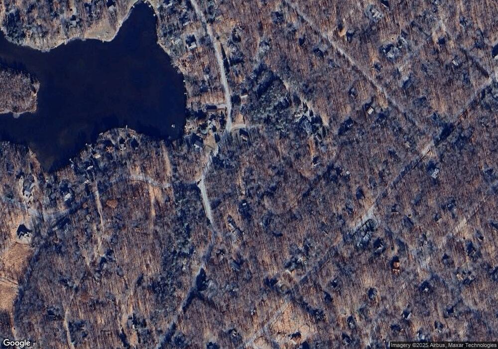
Map
Nearby Homes
- 113 Netcong Cir
- 0
- 33 Netcong Cir
- 0 Kinta Cir 13 Cir
- 706 Fawn Rd
- 119 Sundance Dr
- 164 Fawn Rd
- 107 Cardinal Dr
- 164 Mountain View Dr #1007 Dr
- 819 White Pine Dr
- 235 White Pine Dr
- lot 813 White Pine Dr
- lot 814 White Pine Dr
- 255 Mountain View Dr
- 1143 Ranger Trail
- 232 White Pine Dr
- 804 Evergreen Rd
- 135 Sitka Dr
- 21 Omaha Trail
- 14-21-6 Omaha Trail
- 3 Netcong Cir
- 116 Buffalo Trail
- 12 Buffalo 1weuz688c7nq
- 12 Buffalo Trail
- 117 Netcong Cir
- 282 Owassa Dr
- 110 Netcong Cir
- 11 Buffalo Trail
- #8 Buffalo Trail
- 114 Netcong Cir
- 104 Buffalo Trail
- 96-25-8 Owassa Dr
- Lot 2 Owassa Dr
- 11 Owassa Dr
- 43368 Owassa Dr
- 116 Netcong Cir
- 0 Owassa Dr Unit 5915184
- 909192 Owassa Dr
- Lot #8 Owassa Dr
- 90,91,92 Owassa Dr