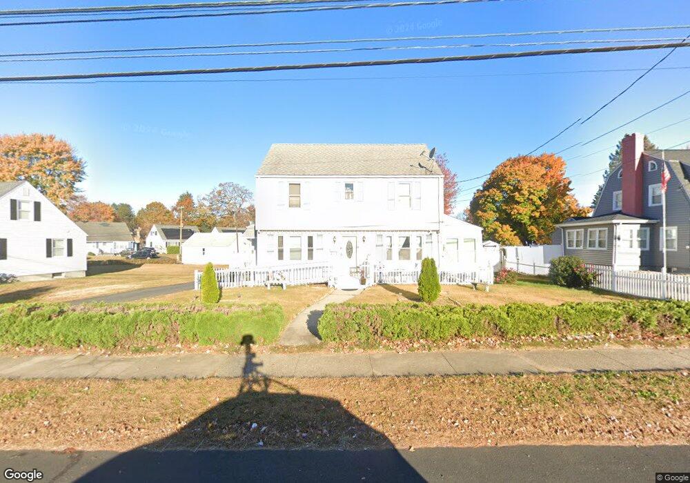
111 Osgood Ave New Britain, CT 06053
Estimated Value: $300,000 - $328,000
4
Beds
2
Baths
1,554
Sq Ft
$204/Sq Ft
Est. Value
About This Home
This home is located at 111 Osgood Ave, New Britain, CT 06053 and is currently estimated at $317,247, approximately $204 per square foot. 111 Osgood Ave is a home located in Hartford County with nearby schools including Jefferson School, Pulaski Middle School, and Mountain Laurel Sudbury School.
Ownership History
Date
Name
Owned For
Owner Type
Purchase Details
Closed on
Mar 7, 2005
Sold by
Napoolitano Samantha R
Bought by
Rivera Maria S and Rivera Maximino A
Current Estimated Value
Home Financials for this Owner
Home Financials are based on the most recent Mortgage that was taken out on this home.
Original Mortgage
$132,000
Outstanding Balance
$67,540
Interest Rate
5.75%
Estimated Equity
$249,707
Create a Home Valuation Report for This Property
The Home Valuation Report is an in-depth analysis detailing your home's value as well as a comparison with similar homes in the area
Home Values in the Area
Average Home Value in this Area
Purchase History
| Date | Buyer | Sale Price | Title Company |
|---|---|---|---|
| Rivera Maria S | $165,000 | -- |
Source: Public Records
Mortgage History
| Date | Status | Borrower | Loan Amount |
|---|---|---|---|
| Open | Rivera Maria S | $132,000 | |
| Closed | Rivera Maria S | $33,000 | |
| Previous Owner | Rivera Maria S | $24,500 |
Source: Public Records
Tax History Compared to Growth
Tax History
| Year | Tax Paid | Tax Assessment Tax Assessment Total Assessment is a certain percentage of the fair market value that is determined by local assessors to be the total taxable value of land and additions on the property. | Land | Improvement |
|---|---|---|---|---|
| 2025 | $6,346 | $161,980 | $46,200 | $115,780 |
| 2024 | $6,413 | $161,980 | $46,200 | $115,780 |
| 2023 | $6,201 | $161,980 | $46,200 | $115,780 |
| 2022 | $5,249 | $106,050 | $19,460 | $86,590 |
| 2021 | $5,249 | $106,050 | $19,460 | $86,590 |
| 2020 | $5,356 | $106,050 | $19,460 | $86,590 |
| 2019 | $5,356 | $106,050 | $19,460 | $86,590 |
| 2018 | $5,356 | $106,050 | $19,460 | $86,590 |
| 2017 | $5,476 | $108,430 | $19,460 | $88,970 |
| 2016 | $5,476 | $108,430 | $19,460 | $88,970 |
| 2015 | $5,313 | $108,430 | $19,460 | $88,970 |
| 2014 | $5,313 | $108,430 | $19,460 | $88,970 |
Source: Public Records
Map
Nearby Homes
- 234 Pierremount Ave
- 38 Brown St
- 19 Hayes St
- 148 Governor St
- 410 Farmington Ave Unit H1
- 410 Farmington Ave Unit O6
- 55 Allen St
- 34 Concord St
- 67 Eastwick Rd
- 59 Heather Ln
- 50 Curtin Ave
- 394 Mcclintock St
- 343 Eddy Glover Blvd
- 133 Mckinley Dr
- 7 Doris St
- 290 Lawlor St
- 223 Lawlor St
- 262 Tremont St
- 8 Albany Ave
- 25 Clinton St
- 103 Osgood Ave
- 123 Osgood Ave
- 71 Highview Ave
- 77 Highview Ave
- 83 Highview Ave
- 110 Osgood Ave
- 116 Osgood Ave
- 97 Osgood Ave
- 141 Osgood Ave
- 66 Highview Ave
- 72 Highview Ave
- 91 Osgood Ave
- 98 Osgood Ave
- 89 Highview Ave
- 78 Highview Ave
- 130 Osgood Ave
- 122 Osgood Ave
- 85 Osgood Ave
- 147 Osgood Ave
- 82 Highview Ave