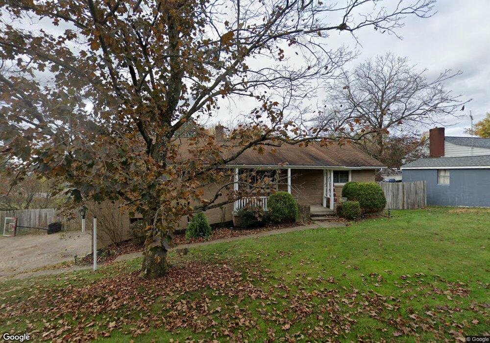
111 Pear Orchard Rd Coraopolis, PA 15108
Estimated Value: $230,000 - $312,000
3
Beds
2
Baths
1,446
Sq Ft
$193/Sq Ft
Est. Value
About This Home
This home is located at 111 Pear Orchard Rd, Coraopolis, PA 15108 and is currently estimated at $278,418, approximately $192 per square foot. 111 Pear Orchard Rd is a home located in Allegheny County with nearby schools including Moon Area High School, Montessori Children's Community, and St James Elementary School.
Ownership History
Date
Name
Owned For
Owner Type
Purchase Details
Closed on
Nov 19, 2003
Sold by
Cury William
Bought by
Sheffler Randy
Current Estimated Value
Home Financials for this Owner
Home Financials are based on the most recent Mortgage that was taken out on this home.
Original Mortgage
$98,000
Outstanding Balance
$45,370
Interest Rate
5.98%
Mortgage Type
New Conventional
Estimated Equity
$233,048
Purchase Details
Closed on
Nov 7, 1996
Sold by
Curry William P and Curry Helen E
Bought by
Curry William P
Create a Home Valuation Report for This Property
The Home Valuation Report is an in-depth analysis detailing your home's value as well as a comparison with similar homes in the area
Home Values in the Area
Average Home Value in this Area
Purchase History
| Date | Buyer | Sale Price | Title Company |
|---|---|---|---|
| Sheffler Randy | $122,000 | -- | |
| Curry William P | -- | -- |
Source: Public Records
Mortgage History
| Date | Status | Borrower | Loan Amount |
|---|---|---|---|
| Open | Sheffler Randy | $98,000 |
Source: Public Records
Tax History Compared to Growth
Tax History
| Year | Tax Paid | Tax Assessment Tax Assessment Total Assessment is a certain percentage of the fair market value that is determined by local assessors to be the total taxable value of land and additions on the property. | Land | Improvement |
|---|---|---|---|---|
| 2025 | $4,404 | $140,900 | $35,700 | $105,200 |
| 2024 | $4,404 | $140,900 | $35,700 | $105,200 |
| 2023 | $4,247 | $140,900 | $35,700 | $105,200 |
| 2022 | $4,247 | $140,900 | $35,700 | $105,200 |
| 2021 | $4,252 | $140,900 | $35,700 | $105,200 |
| 2020 | $4,141 | $140,900 | $35,700 | $105,200 |
| 2019 | $4,028 | $140,900 | $35,700 | $105,200 |
| 2018 | $666 | $140,900 | $35,700 | $105,200 |
| 2017 | $3,808 | $140,900 | $35,700 | $105,200 |
| 2016 | $666 | $140,900 | $35,700 | $105,200 |
| 2015 | $666 | $140,900 | $35,700 | $105,200 |
| 2014 | $3,708 | $140,900 | $35,700 | $105,200 |
Source: Public Records
Map
Nearby Homes
- 135 Pear Orchard Rd
- 203 Ascot Ct
- 204 Ascot Ct
- 209 Lockheed Dr
- 174 Lockheed Dr
- 176 Lockheed Dr
- 178 Lockheed Dr
- 179 Lockheed Dr
- 182 Lockheed Dr
- 506 Isabella Ct
- 162 Foxwood Rd
- 511 Isabella Ct
- 191 Rosemont Dr
- 134 Becks Run Rd
- 115 Elm Ln
- 326 College Park Dr Unit 41
- 221 Springer Dr
- 824 Balmoral Ct
- 1112 Forest Green Dr
- 1333 Forest Green Dr Unit 1333
- 115 Pear Orchard Rd
- 114 Pear Orchard Rd
- 119 Pear Orchard Rd
- 110 Pear Orchard Rd
- 0 Moon Clinton Rd
- 426 Moon Clinton Rd
- 108 Pear Orchard Rd
- 123 Pear Orchard Rd
- 402 Moon Clinton Rd
- 398 Moon Clinton Rd
- 127 Pear Orchard Rd
- 394 Moon Clinton Rd
- 425 Moon Clinton Rd
- 392 Moon Clinton Rd
- 436 Moon Clinton Rd
- 137 Pear Orchard Rd
- 438 Moon Clinton Rd
- 390 Moon Clinton Rd
- 401 Moon Clinton Rd Unit 15
- 401 Moon Clinton Rd
