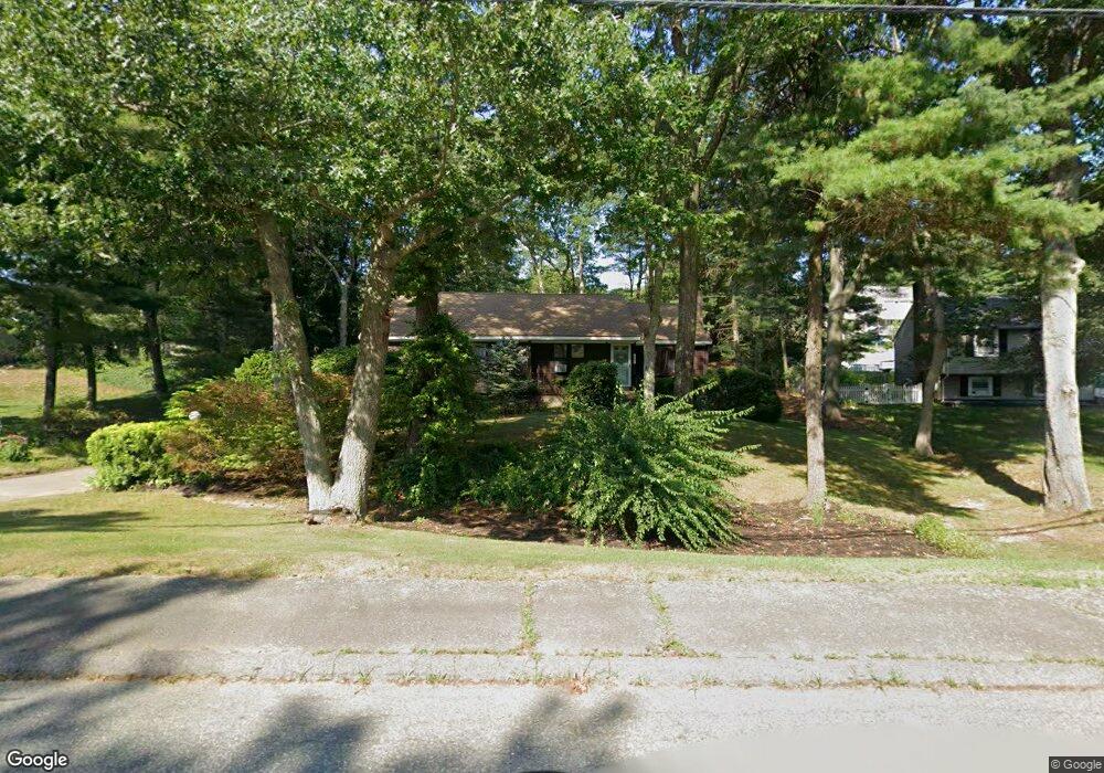
111 Peterson Path Marshfield, MA 02050
Estimated Value: $709,044 - $821,000
3
Beds
2
Baths
1,679
Sq Ft
$452/Sq Ft
Est. Value
About This Home
This home is located at 111 Peterson Path, Marshfield, MA 02050 and is currently estimated at $759,511, approximately $452 per square foot. 111 Peterson Path is a home located in Plymouth County with nearby schools including Governor Edward Winslow School, Furnace Brook Middle School, and Marshfield High School.
Ownership History
Date
Name
Owned For
Owner Type
Purchase Details
Closed on
Feb 17, 1987
Sold by
Trapilo Robert
Bought by
Iacovino Stephen R
Current Estimated Value
Create a Home Valuation Report for This Property
The Home Valuation Report is an in-depth analysis detailing your home's value as well as a comparison with similar homes in the area
Home Values in the Area
Average Home Value in this Area
Purchase History
| Date | Buyer | Sale Price | Title Company |
|---|---|---|---|
| Iacovino Stephen R | $170,000 | -- |
Source: Public Records
Mortgage History
| Date | Status | Borrower | Loan Amount |
|---|---|---|---|
| Open | Iacovino Stephen R | $277,310 | |
| Closed | Iacovino Stephen R | $219,900 | |
| Closed | Iacovino Stephen R | $160,100 |
Source: Public Records
Tax History
| Year | Tax Paid | Tax Assessment Tax Assessment Total Assessment is a certain percentage of the fair market value that is determined by local assessors to be the total taxable value of land and additions on the property. | Land | Improvement |
|---|---|---|---|---|
| 2025 | $6,685 | $675,300 | $303,000 | $372,300 |
| 2024 | $6,462 | $621,900 | $288,500 | $333,400 |
| 2023 | $6,136 | $565,000 | $257,600 | $307,400 |
| 2022 | $6,136 | $473,800 | $216,400 | $257,400 |
| 2021 | $5,957 | $451,600 | $216,400 | $235,200 |
| 2020 | $5,679 | $426,000 | $195,800 | $230,200 |
| 2019 | $5,337 | $398,900 | $195,800 | $203,100 |
| 2018 | $5,234 | $391,500 | $195,800 | $195,700 |
| 2017 | $5,255 | $383,000 | $195,800 | $187,200 |
| 2016 | $5,038 | $363,000 | $195,800 | $167,200 |
| 2015 | $4,625 | $348,000 | $195,800 | $152,200 |
| 2014 | $4,556 | $342,800 | $195,800 | $147,000 |
Source: Public Records
Map
Nearby Homes
- 116 Outlook Rd
- 555 Webster St
- 568 Webster St
- 45 Red Gold Farm Rd
- 184 King Phillips Pathe
- 585 Careswell St
- 412 Moraine St
- 242 Enterprise St
- 431 Moraine St
- 118 Enterprise St
- 42 Carr Rd
- 7 Pierce Rd
- 66 Simmons Dr
- 30 Chandler Dr
- 11 Simmons Dr
- 1 John St
- 6 Maple Ln
- 4 Rachael's Ln
- 152 Acorn St
- 129 Franklin St
- 121 Peterson Path
- 103 Peterson Path
- 44 Observatory Waye
- 34 Observatory Waye
- 112 Peterson Path
- 54 Observatory Waye
- 129 Peterson Path
- 24 Observatory Waye
- 100 Peterson Path
- 122 Peterson Path
- 95 Peterson Path
- 16 Observatory Waye
- 92 Peterson Path
- 136 Peterson Path
- 137 Peterson Path
- 39 Observatory Waye
- 49 Observatory Waye
- 41 Travelers Ln
- 43 Travelers Ln
- 109 Blackmount Dr
Your Personal Tour Guide
Ask me questions while you tour the home.