111 Private Road 2563 Alvord, TX 76225
Estimated Value: $839,000
--
Bed
4
Baths
3,269
Sq Ft
$257/Sq Ft
Est. Value
About This Home
This home is located at 111 Private Road 2563, Alvord, TX 76225 and is currently estimated at $839,000, approximately $256 per square foot. 111 Private Road 2563 is a home located in Wise County with nearby schools including Decatur High School.
Ownership History
Date
Name
Owned For
Owner Type
Purchase Details
Closed on
Dec 13, 2011
Sold by
Shinedling Daniel A and Roberts Pamela A
Bought by
Davinda Familia Lp
Current Estimated Value
Home Financials for this Owner
Home Financials are based on the most recent Mortgage that was taken out on this home.
Original Mortgage
$290,600
Outstanding Balance
$198,981
Interest Rate
4.03%
Estimated Equity
$640,019
Create a Home Valuation Report for This Property
The Home Valuation Report is an in-depth analysis detailing your home's value as well as a comparison with similar homes in the area
Home Values in the Area
Average Home Value in this Area
Purchase History
| Date | Buyer | Sale Price | Title Company |
|---|---|---|---|
| Davinda Familia Lp | -- | None Available |
Source: Public Records
Mortgage History
| Date | Status | Borrower | Loan Amount |
|---|---|---|---|
| Open | Davinda Familia Lp | $290,600 |
Source: Public Records
Tax History Compared to Growth
Tax History
| Year | Tax Paid | Tax Assessment Tax Assessment Total Assessment is a certain percentage of the fair market value that is determined by local assessors to be the total taxable value of land and additions on the property. | Land | Improvement |
|---|---|---|---|---|
| 2025 | $6,876 | $566,192 | $28,490 | $537,702 |
| 2024 | $6,876 | $564,510 | $28,428 | $536,082 |
| 2023 | $6,839 | $566,101 | $0 | $0 |
| 2022 | $7,865 | $512,549 | $0 | $0 |
| 2021 | $6,854 | $525,760 | $117,760 | $408,000 |
| 2020 | $6,393 | $481,390 | $102,180 | $379,210 |
| 2019 | $5,722 | $415,640 | $99,190 | $316,450 |
| 2018 | $5,745 | $398,520 | $89,880 | $308,640 |
| 2017 | $5,300 | $350,020 | $61,990 | $288,030 |
| 2016 | $4,925 | $318,750 | $55,790 | $262,960 |
| 2015 | -- | $357,300 | $91,510 | $265,790 |
| 2014 | -- | $266,500 | $14,280 | $252,220 |
Source: Public Records
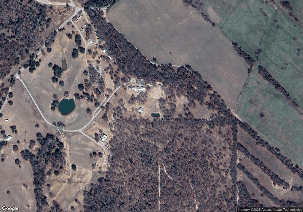
Map
Nearby Homes
- 1300 County Road 2360
- TBD3 N Fm 730
- 2080 County Road 2445
- 2454 Private Rd
- TBD Pr 2454
- 1006 County Road 2475
- 1230 County Road 2475
- 1220 County Road 2475
- 1200 County Road 2475
- TBD 13.7+/- Acres County Road 2560
- TBD Cr 2675
- 188 Private Road 2356
- 2721 Old Decatur Rd
- 2653 Old Decatur Rd
- 2296 Old Decatur Rd
- 0 Pr-2777 Unit 21021129
- 2270 County Road 2360
- 858 County Road 2395
- 174 County Road 2690
- 1411 Parker Dairy Rd
- 111 Private Road 2563
- 1611 County Road 2461
- 111 Private Road 2563
- 1369 County Road 2461
- 36.69a County Road 2461
- 1377 County Road 2461
- 1369 County Road 2461
- 1068 County Road 2461
- 123 Private Road 2462
- 978 Prairie 2462
- 862 County Road 2461
- 862 County Road 2461
- 1395 County Road 2461 Unit 3
- 1395 County Road 2461 Unit 2
- 1395 County Road 2461 Unit 1
- 1395 County Road 2461
- 160 Private Road 2462
- 160 Private Road 2462
- 160 Private Road 2462
- 160 Private Road 2462