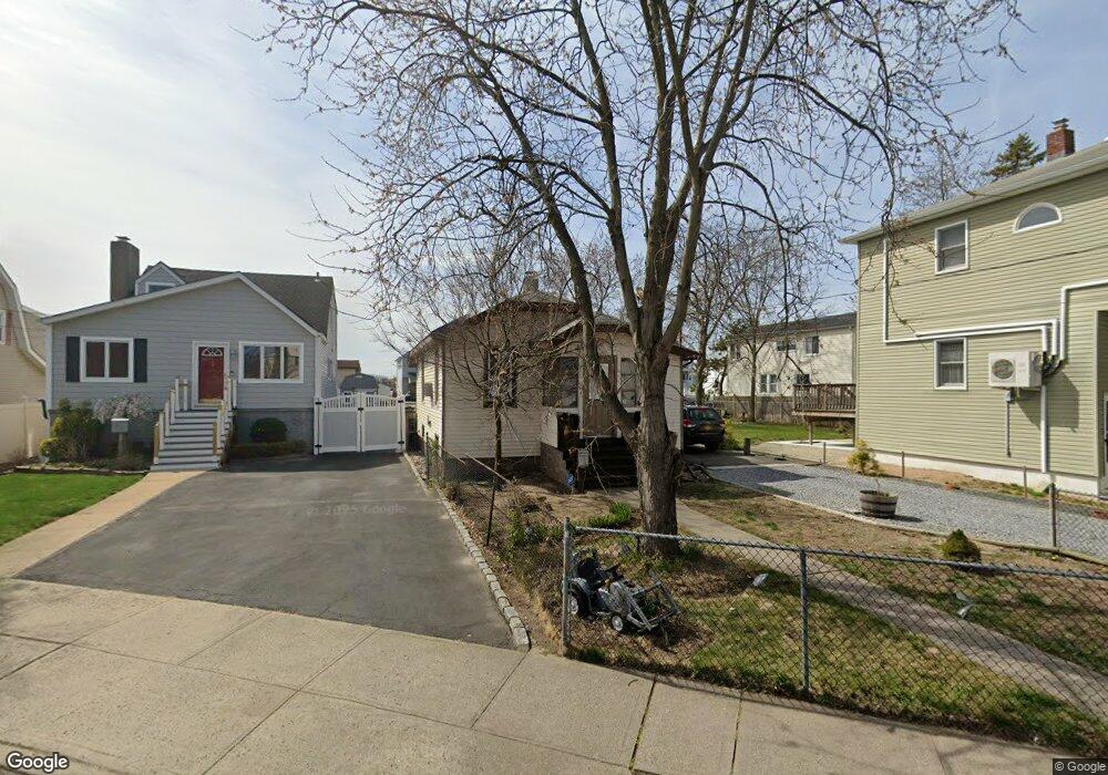
111 Ray St Freeport, NY 11520
Estimated Value: $470,926 - $608,000
1
Bed
1
Bath
616
Sq Ft
$876/Sq Ft
Est. Value
About This Home
This home is located at 111 Ray St, Freeport, NY 11520 and is currently estimated at $539,463, approximately $875 per square foot. 111 Ray St is a home located in Nassau County with nearby schools including Columbus Avenue School, Caroline G. Atkinson Intermediate School, and John W Dodd Middle School.
Ownership History
Date
Name
Owned For
Owner Type
Purchase Details
Closed on
Dec 20, 2017
Sold by
Ryder Lucas and Ryder Barbara
Bought by
Zagulska Joanna and Bauer Anthony
Current Estimated Value
Home Financials for this Owner
Home Financials are based on the most recent Mortgage that was taken out on this home.
Original Mortgage
$182,132
Interest Rate
4.15%
Mortgage Type
New Conventional
Purchase Details
Closed on
Oct 31, 2000
Create a Home Valuation Report for This Property
The Home Valuation Report is an in-depth analysis detailing your home's value as well as a comparison with similar homes in the area
Home Values in the Area
Average Home Value in this Area
Purchase History
| Date | Buyer | Sale Price | Title Company |
|---|---|---|---|
| Zagulska Joanna | $196,000 | -- | |
| -- | -- | -- |
Source: Public Records
Mortgage History
| Date | Status | Borrower | Loan Amount |
|---|---|---|---|
| Previous Owner | Zagulska Joanna | $182,132 |
Source: Public Records
Tax History
| Year | Tax Paid | Tax Assessment Tax Assessment Total Assessment is a certain percentage of the fair market value that is determined by local assessors to be the total taxable value of land and additions on the property. | Land | Improvement |
|---|---|---|---|---|
| 2025 | $5,973 | $277 | $157 | $120 |
| 2024 | $648 | $277 | $157 | $120 |
Source: Public Records
Map
Nearby Homes
- 120 Sportsmans Ave
- 251 Arthur St
- 177 Sportsmans Ave
- 121 Garfield St
- 130 Gordon Place
- 51 Atlantic Ave
- 159 Southside Ave
- 16 Sportsmans Ave
- 208 Sportsmans Ave
- 280 Guy Lombardo Ave Unit 2H
- 280 Guy Lombardo Ave Unit 3D
- 96 East Ave
- 308 Bedell St
- 5 Sportsmans Ave
- 175 Archer St Unit 1C
- 175 Archer St Unit 3A
- 21 Stillwell Place
- 176 Gordon Place
- 61 East Ave
- 494 S Ocean Ave Unit 1M
- 109 Ray St
- 113 Ray St
- 131 Ray St
- 107 Ray St
- 108 Ray St
- 137 Ray St
- 110 Cornelius St
- 114 Ray St
- 95 Ray St Unit Upper
- 120 Cornelius St
- 100 Ray St
- 233 Arthur St
- 123 Sportsmans Ave
- 191 East Ave
- 119 Sportsmans Ave
- 122 Cornelius St Unit 124ST
- 122 Cornelius St
- 121 Sportsmans Ave
- 121 Sportsmans Ave Unit 2
- 121 Sportsmans Ave Unit 1
Your Personal Tour Guide
Ask me questions while you tour the home.