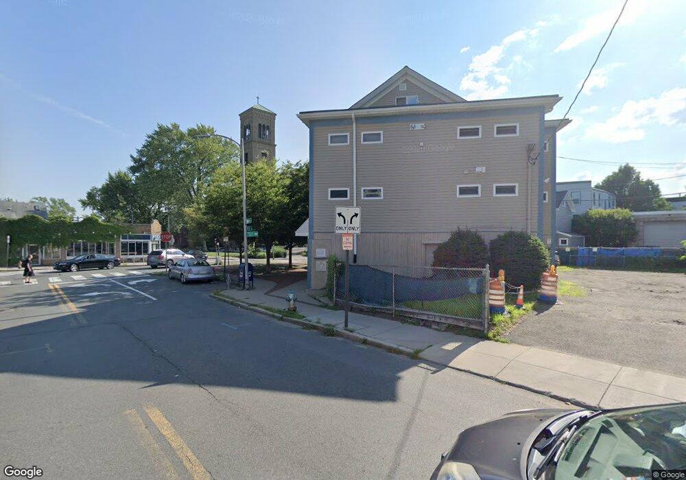
111 Rice St Cambridge, MA 02140
North Cambridge NeighborhoodEstimated Value: $768,077
--
Bed
1
Bath
1,930
Sq Ft
$398/Sq Ft
Est. Value
About This Home
This home is located at 111 Rice St, Cambridge, MA 02140 and is currently estimated at $768,077, approximately $397 per square foot. 111 Rice St is a home located in Middlesex County with nearby schools including Benjamin Banneker Charter Public School, Cambridge Friends School, and Cambridge Montessori School.
Ownership History
Date
Name
Owned For
Owner Type
Purchase Details
Closed on
Nov 6, 2014
Sold by
Rog Inc
Bought by
Rich Peter and Sullivan Ellen
Current Estimated Value
Home Financials for this Owner
Home Financials are based on the most recent Mortgage that was taken out on this home.
Original Mortgage
$191,000
Outstanding Balance
$147,278
Interest Rate
4.18%
Mortgage Type
Commercial
Estimated Equity
$620,799
Purchase Details
Closed on
Jun 29, 2005
Sold by
Yorke Richard B
Bought by
Rog Inc
Home Financials for this Owner
Home Financials are based on the most recent Mortgage that was taken out on this home.
Original Mortgage
$400,000
Interest Rate
5.73%
Mortgage Type
Commercial
Create a Home Valuation Report for This Property
The Home Valuation Report is an in-depth analysis detailing your home's value as well as a comparison with similar homes in the area
Home Values in the Area
Average Home Value in this Area
Purchase History
| Date | Buyer | Sale Price | Title Company |
|---|---|---|---|
| Rich Peter | $382,000 | -- | |
| Rog Inc | $400,000 | -- |
Source: Public Records
Mortgage History
| Date | Status | Borrower | Loan Amount |
|---|---|---|---|
| Open | Rich Peter | $191,000 | |
| Previous Owner | Rog Inc | $400,000 |
Source: Public Records
Tax History Compared to Growth
Tax History
| Year | Tax Paid | Tax Assessment Tax Assessment Total Assessment is a certain percentage of the fair market value that is determined by local assessors to be the total taxable value of land and additions on the property. | Land | Improvement |
|---|---|---|---|---|
| 2025 | $7,525 | $653,200 | $0 | $653,200 |
| 2024 | $7,485 | $715,600 | $0 | $715,600 |
| 2023 | $7,797 | $751,200 | $0 | $751,200 |
| 2022 | $8,042 | $716,100 | $0 | $716,100 |
| 2021 | $8,477 | $715,400 | $0 | $715,400 |
| 2020 | $8,097 | $638,600 | $0 | $638,600 |
| 2019 | $7,819 | $570,300 | $0 | $570,300 |
| 2018 | $7,537 | $508,900 | $0 | $508,900 |
| 2017 | $7,289 | $452,200 | $0 | $452,200 |
| 2016 | $7,150 | $403,700 | $0 | $403,700 |
| 2015 | $8,327 | $431,700 | $0 | $431,700 |
| 2014 | $8,550 | $418,300 | $0 | $418,300 |
Source: Public Records
Map
Nearby Homes
- 179 Rindge Ave Unit 1
- 183 Rindge Ave Unit 1
- 51 Dudley St Unit 2
- 30 Dudley St
- 22 Harrington Rd
- 12-14 Hollis St
- 110 Reed St
- 124 Jackson St
- 17 Shea Rd
- 147 Sherman St Unit 201
- 69 Harvey St Unit 1
- 19 Woodbridge St
- 61 Bolton St Unit 304
- 112 Jackson St
- 112 Jackson St Unit 1
- 2456 Massachusetts Ave Unit 402
- 39 Bellis Cir Unit E
- 131 Harvey St
- 12 Rindge Ave Unit 1
- 32 Cameron Ave
- 103 Rice St
- 99 Rice St Unit 105
- 99 Rice St
- 107 Rice St
- 105 Rice St
- 105 Rice St Unit 105
- 105 Rice St Unit B
- 173 Rindge Ave
- 173A Rindge Ave Unit 1
- 173 Rindge Ave Unit 1LF
- 173A Rindge Ave Unit 2
- 173A Rindge Ave Unit 1R
- 173A Rindge Ave
- 173 Rindge Ave
- 173 Rindge Ave Unit 1LB
- 173 Rindge Ave Unit B
- 173 Rindge Ave Unit 2
- 173 Rindge Ave Unit 1R
- 173 Rindge Ave Unit 3R
- 173 Rindge Ave Unit 3L