111 Robin Way Neshanic Station, NJ 08853
Readington NeighborhoodEstimated Value: $717,772 - $843,000
--
Bed
--
Bath
2,716
Sq Ft
$283/Sq Ft
Est. Value
About This Home
This home is located at 111 Robin Way, Neshanic Station, NJ 08853 and is currently estimated at $768,443, approximately $282 per square foot. 111 Robin Way is a home located in Hunterdon County with nearby schools including Hunterdon Central Regional High School District.
Ownership History
Date
Name
Owned For
Owner Type
Purchase Details
Closed on
Sep 28, 2020
Sold by
Bentzinger Thomas D and Bentzinger Kathleen
Bought by
Bentzinger Thomas D and Bentzinger Kathleen
Current Estimated Value
Purchase Details
Closed on
May 20, 1999
Sold by
Cuervo Hector M
Bought by
Ahmad Saeed and Ahmad Yolanda C
Home Financials for this Owner
Home Financials are based on the most recent Mortgage that was taken out on this home.
Original Mortgage
$234,000
Interest Rate
7.39%
Purchase Details
Closed on
May 18, 1989
Sold by
Hewitt Investment Co Inc
Bought by
Cuervo Hector M and Cuervo Gloria
Create a Home Valuation Report for This Property
The Home Valuation Report is an in-depth analysis detailing your home's value as well as a comparison with similar homes in the area
Home Values in the Area
Average Home Value in this Area
Purchase History
| Date | Buyer | Sale Price | Title Company |
|---|---|---|---|
| Bentzinger Thomas D | -- | None Available | |
| Ahmad Saeed | $260,000 | -- | |
| Cuervo Hector M | $80,000 | -- |
Source: Public Records
Mortgage History
| Date | Status | Borrower | Loan Amount |
|---|---|---|---|
| Previous Owner | Ahmad Saeed | $234,000 |
Source: Public Records
Tax History Compared to Growth
Tax History
| Year | Tax Paid | Tax Assessment Tax Assessment Total Assessment is a certain percentage of the fair market value that is determined by local assessors to be the total taxable value of land and additions on the property. | Land | Improvement |
|---|---|---|---|---|
| 2025 | $12,562 | $479,300 | $145,700 | $333,600 |
| 2024 | $12,457 | $479,300 | $145,700 | $333,600 |
| 2023 | $12,457 | $479,300 | $145,700 | $333,600 |
| 2022 | $12,136 | $479,300 | $145,700 | $333,600 |
| 2021 | $10,778 | $479,300 | $145,700 | $333,600 |
| 2020 | $10,987 | $361,300 | $133,400 | $227,900 |
| 2019 | $10,778 | $361,300 | $133,400 | $227,900 |
| 2018 | $10,608 | $361,300 | $133,400 | $227,900 |
| 2017 | $10,362 | $361,300 | $133,400 | $227,900 |
| 2016 | $10,116 | $361,300 | $133,400 | $227,900 |
| 2015 | $9,954 | $361,300 | $133,400 | $227,900 |
| 2014 | $9,831 | $361,300 | $133,400 | $227,900 |
Source: Public Records
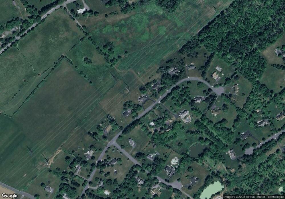
Map
Nearby Homes
- 247 Summer Rd
- 816 Rt 202
- 499 Barton Ln
- 200 Milkweed Ct Unit 200
- 35 Lehigh Rd
- 34 Lehigh Rd
- 103 Oak Crest Dr
- 6 Van Fleet Rd
- 9 Higginsville Rd
- 17 Apple Tree Rd
- 407 Olive St
- 1053 Hillcrest Dr
- 825 Parsonage Hill Rd
- 205 Hockenbury Rd
- 18 Flintlock Rd
- 861 Princeton Ct
- 30 Plennert Rd
- 435 Windmill Way
- 29 Bressler Rd
- 93 Windy Willow Way