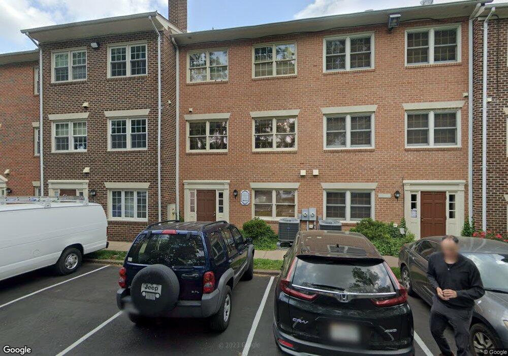
111 Rowell Ct Unit 11 Falls Church, VA 22046
Estimated Value: $755,883
--
Bed
--
Bath
912
Sq Ft
$829/Sq Ft
Est. Value
About This Home
This home is located at 111 Rowell Ct Unit 11, Falls Church, VA 22046 and is currently estimated at $755,883, approximately $828 per square foot. 111 Rowell Ct Unit 11 is a home located in Falls Church City with nearby schools including Mt. Daniel Elementary School, Mary Ellen Henderson Middle School, and Meridian High School.
Ownership History
Date
Name
Owned For
Owner Type
Purchase Details
Closed on
Aug 31, 2018
Sold by
P & T Properties
Bought by
Little City Management Llc
Current Estimated Value
Home Financials for this Owner
Home Financials are based on the most recent Mortgage that was taken out on this home.
Original Mortgage
$705,000
Outstanding Balance
$614,858
Interest Rate
4.6%
Mortgage Type
Commercial
Estimated Equity
$141,025
Purchase Details
Closed on
Jul 1, 1987
Create a Home Valuation Report for This Property
The Home Valuation Report is an in-depth analysis detailing your home's value as well as a comparison with similar homes in the area
Home Values in the Area
Average Home Value in this Area
Purchase History
| Date | Buyer | Sale Price | Title Company |
|---|---|---|---|
| Little City Management Llc | $500,400 | Chicago Title | |
| -- | $225,000 | -- |
Source: Public Records
Mortgage History
| Date | Status | Borrower | Loan Amount |
|---|---|---|---|
| Open | Little City Management Llc | $705,000 |
Source: Public Records
Tax History Compared to Growth
Tax History
| Year | Tax Paid | Tax Assessment Tax Assessment Total Assessment is a certain percentage of the fair market value that is determined by local assessors to be the total taxable value of land and additions on the property. | Land | Improvement |
|---|---|---|---|---|
| 2025 | $6,475 | $526,400 | $211,600 | $314,800 |
| 2024 | $6,475 | $526,400 | $211,600 | $314,800 |
| 2023 | $6,134 | $498,700 | $183,900 | $314,800 |
| 2022 | $6,059 | $466,300 | $183,900 | $282,400 |
| 2021 | $6,414 | $459,000 | $183,700 | $275,300 |
| 2020 | $3,414 | $478,200 | $191,400 | $286,800 |
| 2019 | $6,701 | $468,800 | $187,600 | $281,200 |
| 2018 | $6,469 | $459,600 | $183,900 | $275,700 |
| 2017 | $3,142 | $446,200 | $178,500 | $267,700 |
| 2016 | $3,180 | $457,700 | $183,100 | $274,600 |
| 2015 | $6,361 | $457,700 | $183,100 | $274,600 |
| 2014 | $6,493 | $471,900 | $188,800 | $283,100 |
Source: Public Records
Map
Nearby Homes
- 727 Park Ave
- 140 N Oak St
- 721 Park Ave
- 812 Fulton Ave
- 677 Park Ave
- 150 N Lee St
- 154 N Lee St
- 156 N Lee St
- 502 W Broad St Unit 501
- 502 W Broad St Unit 215
- 1022 Railroad Ave Unit 4
- 513 W Broad St Unit 702
- 513 W Broad St Unit 510
- 1200 Offutt Dr
- 444 W Broad St Unit 617
- 444 W Broad St Unit 401
- 6940 Spruce St
- 134 Birch St Unit A4
- 6956 Birch St
- 156 Haycock Rd Unit A6
- 111 Rowell Ct
- 105 Rowell Ct
- 109 Rowell Ct
- 113 Rowell Ct Unit 10
- 113 Rowell Ct
- 115 Rowell Ct Unit 9
- 115 Rowell Ct
- 117 Rowell Ct
- 117 Rowell Ct Unit 8
- 101 Rowell Ct
- 107 Rowell Ct
- 119 Rowell Ct
- 121 Rowell Ct
- 123 Rowell Ct
- 103 Rowell Ct Unit UPSTAIRS
- 103 Rowell Ct Unit 3
- 103 Rowell Ct
- 125 Rowell Ct
- 929 W Broad St
- 917 W Broad St