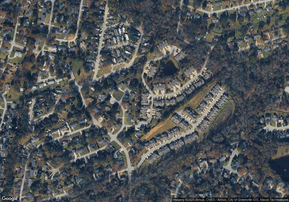
111 Rusty Brook Rd Taylors, SC 29687
Estimated Value: $219,000 - $292,000
2
Beds
2
Baths
1,312
Sq Ft
$189/Sq Ft
Est. Value
About This Home
This home is located at 111 Rusty Brook Rd, Taylors, SC 29687 and is currently estimated at $248,158, approximately $189 per square foot. 111 Rusty Brook Rd is a home located in Greenville County with nearby schools including Brook Glenn Elementary School, Northwood Middle School, and Eastside High School.
Ownership History
Date
Name
Owned For
Owner Type
Purchase Details
Closed on
Nov 5, 2020
Sold by
Bynum Sherry M
Bought by
Hughes Donniette B
Current Estimated Value
Home Financials for this Owner
Home Financials are based on the most recent Mortgage that was taken out on this home.
Original Mortgage
$116,000
Outstanding Balance
$103,224
Interest Rate
2.8%
Mortgage Type
New Conventional
Estimated Equity
$144,934
Purchase Details
Closed on
Oct 14, 2020
Sold by
Bynum Sherry and Estate Of Elizabeth Ruth Davis
Bought by
Bynum Sherry M
Home Financials for this Owner
Home Financials are based on the most recent Mortgage that was taken out on this home.
Original Mortgage
$116,000
Outstanding Balance
$103,224
Interest Rate
2.8%
Mortgage Type
New Conventional
Estimated Equity
$144,934
Create a Home Valuation Report for This Property
The Home Valuation Report is an in-depth analysis detailing your home's value as well as a comparison with similar homes in the area
Home Values in the Area
Average Home Value in this Area
Purchase History
| Date | Buyer | Sale Price | Title Company |
|---|---|---|---|
| Hughes Donniette B | $172,500 | None Available | |
| Bynum Sherry M | $121,580 | None Available |
Source: Public Records
Mortgage History
| Date | Status | Borrower | Loan Amount |
|---|---|---|---|
| Open | Hughes Donniette B | $116,000 |
Source: Public Records
Tax History Compared to Growth
Tax History
| Year | Tax Paid | Tax Assessment Tax Assessment Total Assessment is a certain percentage of the fair market value that is determined by local assessors to be the total taxable value of land and additions on the property. | Land | Improvement |
|---|---|---|---|---|
| 2024 | $1,399 | $6,400 | $980 | $5,420 |
| 2023 | $1,333 | $6,400 | $980 | $5,420 |
| 2022 | $1,236 | $6,400 | $980 | $5,420 |
| 2021 | $1,421 | $6,400 | $980 | $5,420 |
| 2020 | $726 | $5,090 | $760 | $4,330 |
| 2019 | $718 | $5,090 | $760 | $4,330 |
| 2018 | $707 | $5,090 | $760 | $4,330 |
| 2017 | $699 | $5,090 | $760 | $4,330 |
| 2016 | $663 | $127,210 | $19,000 | $108,210 |
| 2015 | $629 | $127,210 | $19,000 | $108,210 |
| 2014 | $610 | $126,740 | $19,000 | $107,740 |
Source: Public Records
Map
Nearby Homes
- 338 Shallow Dr
- 614 Gray Fox Square
- 212 Trent Dr
- 102 Crowndale Dr
- 20 Buckingham Way
- 153 White Bark Way
- 616 Heathwood Dr
- 620 Creighton Dr
- 204 Belgray Ct
- 7 Milford Ct
- 103 Woodleigh Dr
- 2407 E Lee Rd
- 1240 Taylors Rd
- 104 Mares Head Place
- 5 Stevenson Rd
- 26 Harvest Bell Ln
- 104 Bluet Ln
- 216 Button Willow St
- 200 Button Willow St
- 204 Easton Meadow Way
- 113 Rusty Brook Rd
- 109 Rusty Brook Rd
- 115 Rusty Brook Rd
- 107 Rusty Brook Rd
- 105 Rusty Brook Rd
- 300 Shallow Dr
- 108 Stonehenge Ct
- 103 Rusty Brook Rd
- 302 Shallow Dr
- 104 Stonehenge Ct
- 301 Shallow Dr
- 304 Shallow Dr
- 101 Rusty Brook Rd
- 301 Shallows Dr
- 106 Rusty Brook Rd
- 104 Rusty Brook Rd
- 303 Shallow Dr
- 306 Shallow Dr
- 102 Rusty Brook Rd
- 305 Shallow Dr
