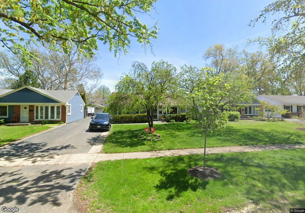
111 S Pierce Ave Wheaton, IL 60187
West Wheaton NeighborhoodEstimated Value: $324,408 - $368,000
3
Beds
1
Bath
1,073
Sq Ft
$325/Sq Ft
Est. Value
About This Home
This home is located at 111 S Pierce Ave, Wheaton, IL 60187 and is currently estimated at $348,602, approximately $324 per square foot. 111 S Pierce Ave is a home located in DuPage County with nearby schools including Emerson Elementary School, Monroe Middle School, and Wheaton North High School.
Ownership History
Date
Name
Owned For
Owner Type
Purchase Details
Closed on
Sep 19, 2003
Sold by
Peters Robert M and Peters Judith M
Bought by
Freeze Samuel Mark and Freeze Paula C
Current Estimated Value
Home Financials for this Owner
Home Financials are based on the most recent Mortgage that was taken out on this home.
Original Mortgage
$152,400
Outstanding Balance
$64,623
Interest Rate
5%
Mortgage Type
Purchase Money Mortgage
Estimated Equity
$283,979
Create a Home Valuation Report for This Property
The Home Valuation Report is an in-depth analysis detailing your home's value as well as a comparison with similar homes in the area
Home Values in the Area
Average Home Value in this Area
Purchase History
| Date | Buyer | Sale Price | Title Company |
|---|---|---|---|
| Freeze Samuel Mark | $190,500 | First American Title |
Source: Public Records
Mortgage History
| Date | Status | Borrower | Loan Amount |
|---|---|---|---|
| Open | Freeze Samuel Mark | $152,400 |
Source: Public Records
Tax History Compared to Growth
Tax History
| Year | Tax Paid | Tax Assessment Tax Assessment Total Assessment is a certain percentage of the fair market value that is determined by local assessors to be the total taxable value of land and additions on the property. | Land | Improvement |
|---|---|---|---|---|
| 2024 | $4,516 | $78,069 | $27,345 | $50,724 |
| 2023 | $4,316 | $71,860 | $25,170 | $46,690 |
| 2022 | $4,288 | $67,910 | $23,790 | $44,120 |
| 2021 | $4,268 | $66,300 | $23,230 | $43,070 |
| 2020 | $4,252 | $65,680 | $23,010 | $42,670 |
| 2019 | $4,148 | $63,940 | $22,400 | $41,540 |
| 2018 | $3,960 | $60,670 | $21,110 | $39,560 |
| 2017 | $3,891 | $58,430 | $20,330 | $38,100 |
| 2016 | $3,829 | $56,100 | $19,520 | $36,580 |
| 2015 | $4,934 | $67,910 | $18,620 | $49,290 |
| 2014 | $4,143 | $57,100 | $16,320 | $40,780 |
| 2013 | $4,037 | $57,270 | $16,370 | $40,900 |
Source: Public Records
Map
Nearby Homes
- 119 N Dorchester Ave
- 122 N Woodlawn St
- 611 Polo Dr
- 200 N Erie St
- 614 Polo Dr
- 1393 Woodcutter Ln Unit D
- 1489 Woodcutter Ln Unit A
- 1605 Woodcutter Ln Unit A
- 1422 Woodcutter Ln Unit D
- 1745 Ennis Ln Unit 89A
- 620 Crest St
- 652 Childs St
- 2059 W Roosevelt Rd
- 952 Dartmouth Dr
- 648 Childs St
- 905 Aurora Way
- 126 Ellis Ave
- 0N042 Nepil Ave
- 536 W Evergreen St
- 100 N Gary Ave Unit 304
- 115 S Pierce Ave
- 105 S Pierce Ave
- 119 S Pierce Ave
- 1526 W Liberty Dr
- 203 S Pierce Ave
- 114 S Morgan Ave
- 110 S Morgan Ave
- 106 S Morgan Ave
- 207 S Pierce Ave
- 1502 W Liberty Dr
- 1502 W Liberty Dr
- 110 S Pierce Ave
- 118 S Morgan Ave
- 114 S Pierce Ave
- 102 S Pierce Ave
- 118 S Pierce Ave
- 1527 W Liberty Dr
- 202 S Morgan Ave
- 211 S Pierce Ave
- 206 S Morgan Ave