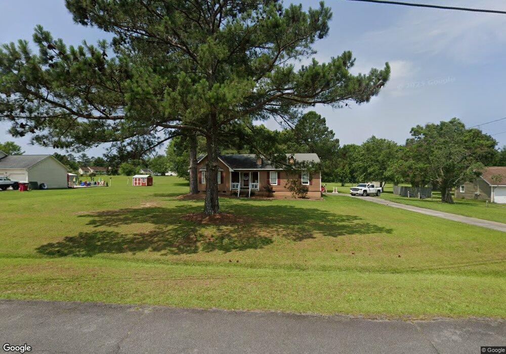
111 Southfork Dr Macon, GA 31220
Estimated Value: $225,781 - $268,000
3
Beds
2
Baths
1,716
Sq Ft
$147/Sq Ft
Est. Value
About This Home
This home is located at 111 Southfork Dr, Macon, GA 31220 and is currently estimated at $251,445, approximately $146 per square foot. 111 Southfork Dr is a home located in Bibb County with nearby schools including Heritage Elementary School, Weaver Middle School, and Westside High School.
Ownership History
Date
Name
Owned For
Owner Type
Purchase Details
Closed on
Aug 1, 2014
Sold by
Griffis Samantha Morgan
Bought by
Griffis Hannah Marie
Current Estimated Value
Purchase Details
Closed on
May 9, 2014
Sold by
Griffis Keith D
Bought by
Griffis Samantha Morgan and Griffis Hannah Marie
Purchase Details
Closed on
Nov 18, 2005
Sold by
Young Wynecia F
Bought by
Griffis J D
Purchase Details
Closed on
Oct 29, 2001
Create a Home Valuation Report for This Property
The Home Valuation Report is an in-depth analysis detailing your home's value as well as a comparison with similar homes in the area
Home Values in the Area
Average Home Value in this Area
Purchase History
| Date | Buyer | Sale Price | Title Company |
|---|---|---|---|
| Griffis Hannah Marie | $100,000 | None Available | |
| Griffis Samantha Morgan | -- | None Available | |
| Griffis J D | $110,000 | None Available | |
| -- | $90,000 | -- |
Source: Public Records
Tax History Compared to Growth
Tax History
| Year | Tax Paid | Tax Assessment Tax Assessment Total Assessment is a certain percentage of the fair market value that is determined by local assessors to be the total taxable value of land and additions on the property. | Land | Improvement |
|---|---|---|---|---|
| 2025 | $1,809 | $80,628 | $9,996 | $70,632 |
| 2024 | $1,828 | $78,972 | $9,996 | $68,976 |
| 2023 | $1,020 | $65,177 | $9,996 | $55,181 |
| 2022 | $1,698 | $56,046 | $7,688 | $48,358 |
| 2021 | $1,530 | $47,254 | $7,688 | $39,566 |
| 2020 | $1,563 | $47,254 | $7,688 | $39,566 |
| 2019 | $1,583 | $47,431 | $7,688 | $39,743 |
| 2018 | $2,604 | $47,431 | $7,688 | $39,743 |
| 2017 | $1,515 | $47,431 | $7,688 | $39,743 |
| 2016 | $1,631 | $47,134 | $7,688 | $39,446 |
| 2015 | $2,308 | $47,134 | $7,688 | $39,446 |
| 2014 | $1,969 | $47,134 | $7,688 | $39,446 |
Source: Public Records
Map
Nearby Homes
- 153 Montrose Dr
- 103 Dorchester Ct
- 1390 Royalwyn Dr
- 7359 Thomaston Rd
- 120 Knots Landing
- 933 Chisholm Trail
- 508 Candlewick Ct
- 515 Candlewick Ct
- 1751 Bridle Ln
- 1776 Bridle
- 1129 Santa fe Trail
- 941 Galahad Cir
- 1698 Greentree Pkwy
- 1412 Johnson Rd
- 2037 Greentree Pkwy
- 1369 King Arthur Dr
- 1396 King Arthur Dr
- 1422 Trails End Dr
- 637 Will Scarlet Way
- 6591 Thomaston Rd