Estimated Value: $292,866 - $307,000
3
Beds
2
Baths
1,603
Sq Ft
$187/Sq Ft
Est. Value
About This Home
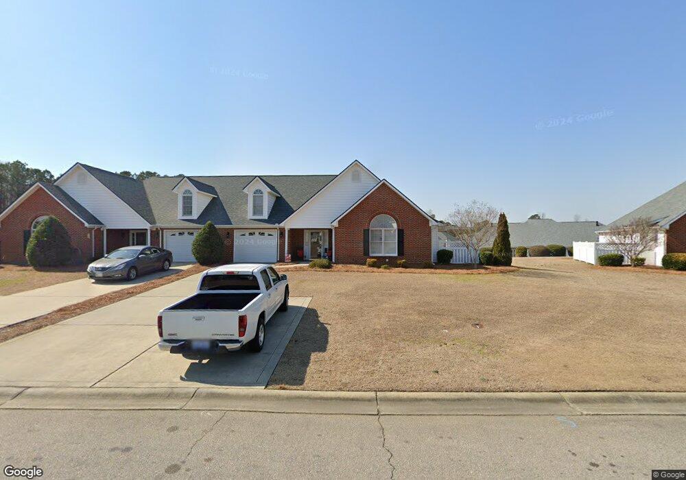
This home is located at 111 Stafford Ct, Dunn, NC 28334 and is currently estimated at $299,967, approximately $187 per square foot. 111 Stafford Ct is a home with nearby schools including Dunn Elementary School, Dunn Middle School, and Triton High School.
Ownership History
Date
Name
Owned For
Owner Type
Purchase Details
Closed on
Jun 4, 2024
Sold by
Hayes Stacy Scott and Hayes Debra Allen
Bought by
Hayes Gregory Daniel
Current Estimated Value
Purchase Details
Closed on
Jun 30, 2022
Sold by
Scott Hayes Stacy and Allen Debra
Bought by
Hayes Gregory Daniel
Purchase Details
Closed on
Mar 25, 2021
Sold by
Hayes Stacy Scott and Hayes Debra Allen
Bought by
Hayes Gregory Daniel
Purchase Details
Closed on
May 29, 2015
Bought by
Hayes Linda G
Create a Home Valuation Report for This Property
The Home Valuation Report is an in-depth analysis detailing your home's value as well as a comparison with similar homes in the area
Home Values in the Area
Average Home Value in this Area
Purchase History
| Date | Buyer | Sale Price | Title Company |
|---|---|---|---|
| Hayes Gregory Daniel | -- | None Listed On Document | |
| Hayes Gregory Daniel | -- | Tart Law Group Pa | |
| Hayes Gregory Daniel | -- | None Available | |
| Hayes Gregory Daniel | -- | None Listed On Document | |
| Hayes Linda G | -- | -- |
Source: Public Records
Tax History
| Year | Tax Paid | Tax Assessment Tax Assessment Total Assessment is a certain percentage of the fair market value that is determined by local assessors to be the total taxable value of land and additions on the property. | Land | Improvement |
|---|---|---|---|---|
| 2025 | $1,425 | $202,949 | $0 | $0 |
| 2024 | $1,386 | $202,949 | $0 | $0 |
| 2023 | $1,346 | $202,949 | $0 | $0 |
| 2022 | $1,153 | $202,949 | $0 | $0 |
| 2021 | $1,153 | $157,030 | $0 | $0 |
| 2020 | $1,153 | $157,030 | $0 | $0 |
| 2019 | $2,174 | $157,030 | $0 | $0 |
| 2018 | $1,138 | $157,030 | $0 | $0 |
| 2017 | $1,138 | $157,030 | $0 | $0 |
| 2016 | $2,199 | $156,560 | $0 | $0 |
| 2015 | $2,168 | $156,560 | $0 | $0 |
| 2014 | $2,168 | $156,560 | $0 | $0 |
Source: Public Records
Map
Nearby Homes
- 219 Crescent Dr
- 128 Crescent Dr
- 100 Martin St
- 309 Westfield Dr
- 304 Westfield Dr
- 396 Riley Vann Ln
- 211 Marlowe Dr
- 311 Marlowe Dr
- 1116 Friendly Rd
- 1108 Friendly Rd
- 0 W Cumberland St Unit 10097343
- 118 Landon Ln
- 122 Jenkins St
- 130 Jenkins St
- 103 Byrd Dr
- 113 Joy St
- 1208 Red Hill Church Rd
- 213 Maye St
- 1492 Erwin Rd
- 303 N Watauga Ave
- 109 Stafford Ct
- 113 Stafford Ct
- 124 Glenfield Dr
- 107 Stafford Ct
- 115 Stafford Ct
- 123 Glenfield Dr
- 122 Glenfield Dr
- 24 Stafford Ct
- 22 Stafford Ct
- 105 Stafford Ct
- 20 Stafford Ct
- 18 Stafford Ct
- 102 Stafford Ct
- 100 Stafford Ct
- 108 Stafford Ct
- 106 Stafford Ct
- 104 Stafford Ct
- 121 Glenfield Dr
- 120 Glenfield Dr
- 103 Stafford Ct