111 Stetson Dr Elverson, PA 19520
West Nantmeal NeighborhoodEstimated Value: $508,271 - $562,000
4
Beds
3
Baths
2,300
Sq Ft
$232/Sq Ft
Est. Value
About This Home
This home is located at 111 Stetson Dr, Elverson, PA 19520 and is currently estimated at $533,318, approximately $231 per square foot. 111 Stetson Dr is a home located in Chester County with nearby schools including Twin Valley Elementary Center, Twin Valley Middle School, and Twin Valley High School.
Ownership History
Date
Name
Owned For
Owner Type
Purchase Details
Closed on
Jan 18, 2008
Sold by
Fu Hongbin and Fu Don Hongbin
Bought by
Raines Timothy E and Raines Christine
Current Estimated Value
Home Financials for this Owner
Home Financials are based on the most recent Mortgage that was taken out on this home.
Original Mortgage
$246,000
Outstanding Balance
$155,442
Interest Rate
6.18%
Mortgage Type
Purchase Money Mortgage
Estimated Equity
$377,876
Create a Home Valuation Report for This Property
The Home Valuation Report is an in-depth analysis detailing your home's value as well as a comparison with similar homes in the area
Home Values in the Area
Average Home Value in this Area
Purchase History
| Date | Buyer | Sale Price | Title Company |
|---|---|---|---|
| Raines Timothy E | $335,000 | None Available |
Source: Public Records
Mortgage History
| Date | Status | Borrower | Loan Amount |
|---|---|---|---|
| Open | Raines Timothy E | $246,000 |
Source: Public Records
Tax History Compared to Growth
Tax History
| Year | Tax Paid | Tax Assessment Tax Assessment Total Assessment is a certain percentage of the fair market value that is determined by local assessors to be the total taxable value of land and additions on the property. | Land | Improvement |
|---|---|---|---|---|
| 2025 | $5,929 | $157,110 | $32,150 | $124,960 |
| 2024 | $5,929 | $157,110 | $32,150 | $124,960 |
| 2023 | $5,791 | $157,110 | $32,150 | $124,960 |
| 2022 | $5,726 | $157,110 | $32,150 | $124,960 |
| 2021 | $5,556 | $157,110 | $32,150 | $124,960 |
| 2020 | $5,527 | $157,110 | $32,150 | $124,960 |
| 2019 | $5,418 | $157,110 | $32,150 | $124,960 |
| 2018 | $5,418 | $157,110 | $32,150 | $124,960 |
| 2017 | $5,289 | $157,110 | $32,150 | $124,960 |
| 2016 | $4,206 | $157,110 | $32,150 | $124,960 |
| 2015 | $4,206 | $157,110 | $32,150 | $124,960 |
| 2014 | $4,206 | $157,110 | $32,150 | $124,960 |
Source: Public Records
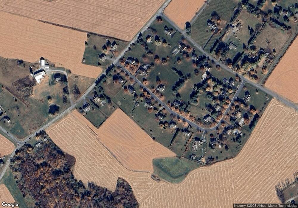
Map
Nearby Homes
- 10 Woods Rd
- 85 Bollinger Rd
- 106 New Rd
- 1 Senn Ln
- 281 Merwood Dr
- 222 Merwood Dr
- 214 Merwood Dr
- 155 Wyebrook Rd
- 683 N Manor Rd
- 7 Horseshoe Dr
- 619 Homestead Dr
- 219 S Pine St
- 121 S Chestnut St
- 650 Dampman Rd
- 8 Parkside Dr
- 0 Heritage Dr Unit 4A PABK2058798
- 242 Steeplechase Dr
- 52 W Main St
- 19 W Main St
- 59 E Main St
- 117 Stetson Dr
- 107 Stetson Dr
- 112 Stetson Dr
- 121 Stetson Dr
- 116 Stetson Dr
- 101 Stetson Dr
- 106 Stetson Dr
- 125 Stetson Dr
- 102 Stetson Dr
- 130 Stetson Dr
- 414 Chestnut Tree Rd
- 129 Stetson Dr
- 140 Stetson Dr
- 407 Chestnut Tree Rd
- 400 Chestnut Tree Rd
- 27 Isabella Rd
- 19 Isabella Rd
- 31 Isabella Rd
- 146 Stetson Dr
- 133 Stetson Dr