111 Stonehill Rd Forsyth, GA 31029
Estimated Value: $712,000 - $1,425,000
4
Beds
5
Baths
5,106
Sq Ft
$188/Sq Ft
Est. Value
About This Home
This home is located at 111 Stonehill Rd, Forsyth, GA 31029 and is currently estimated at $961,846, approximately $188 per square foot. 111 Stonehill Rd is a home located in Monroe County with nearby schools including T.G. Scott Elementary School, Mary Persons High School, and Monroe Academy.
Ownership History
Date
Name
Owned For
Owner Type
Purchase Details
Closed on
Sep 17, 2012
Sold by
Clark David P
Bought by
Clark David P and Clark Holli H
Current Estimated Value
Home Financials for this Owner
Home Financials are based on the most recent Mortgage that was taken out on this home.
Original Mortgage
$417,000
Outstanding Balance
$69,729
Interest Rate
3.68%
Mortgage Type
New Conventional
Estimated Equity
$892,117
Purchase Details
Closed on
May 22, 2007
Sold by
Not Provided
Bought by
Lanterman James
Home Financials for this Owner
Home Financials are based on the most recent Mortgage that was taken out on this home.
Original Mortgage
$105,000
Interest Rate
6.16%
Mortgage Type
New Conventional
Purchase Details
Closed on
Aug 13, 1999
Sold by
Argo William V and Winston Wilfong W
Bought by
Murphey Craig S and Murphey Dawn S
Create a Home Valuation Report for This Property
The Home Valuation Report is an in-depth analysis detailing your home's value as well as a comparison with similar homes in the area
Home Values in the Area
Average Home Value in this Area
Purchase History
| Date | Buyer | Sale Price | Title Company |
|---|---|---|---|
| Clark David P | -- | -- | |
| Clark David P | $600,000 | -- | |
| Lanterman James | $105,000 | -- | |
| Murphey Craig S | $45,000 | -- |
Source: Public Records
Mortgage History
| Date | Status | Borrower | Loan Amount |
|---|---|---|---|
| Open | Clark David P | $417,000 | |
| Closed | Clark David P | $417,000 | |
| Previous Owner | Lanterman James | $105,000 |
Source: Public Records
Tax History Compared to Growth
Tax History
| Year | Tax Paid | Tax Assessment Tax Assessment Total Assessment is a certain percentage of the fair market value that is determined by local assessors to be the total taxable value of land and additions on the property. | Land | Improvement |
|---|---|---|---|---|
| 2024 | $8,819 | $313,280 | $43,040 | $270,240 |
| 2023 | $8,463 | $268,240 | $43,040 | $225,200 |
| 2022 | $7,262 | $268,240 | $43,040 | $225,200 |
| 2021 | $7,518 | $268,240 | $43,040 | $225,200 |
| 2020 | $7,707 | $268,240 | $43,040 | $225,200 |
| 2019 | $7,768 | $268,240 | $43,040 | $225,200 |
| 2018 | $7,792 | $268,240 | $43,040 | $225,200 |
| 2017 | $7,796 | $268,240 | $43,040 | $225,200 |
| 2016 | $7,412 | $268,240 | $43,040 | $225,200 |
| 2015 | $7,028 | $268,240 | $43,040 | $225,200 |
| 2014 | $5,882 | $232,720 | $43,040 | $189,680 |
Source: Public Records
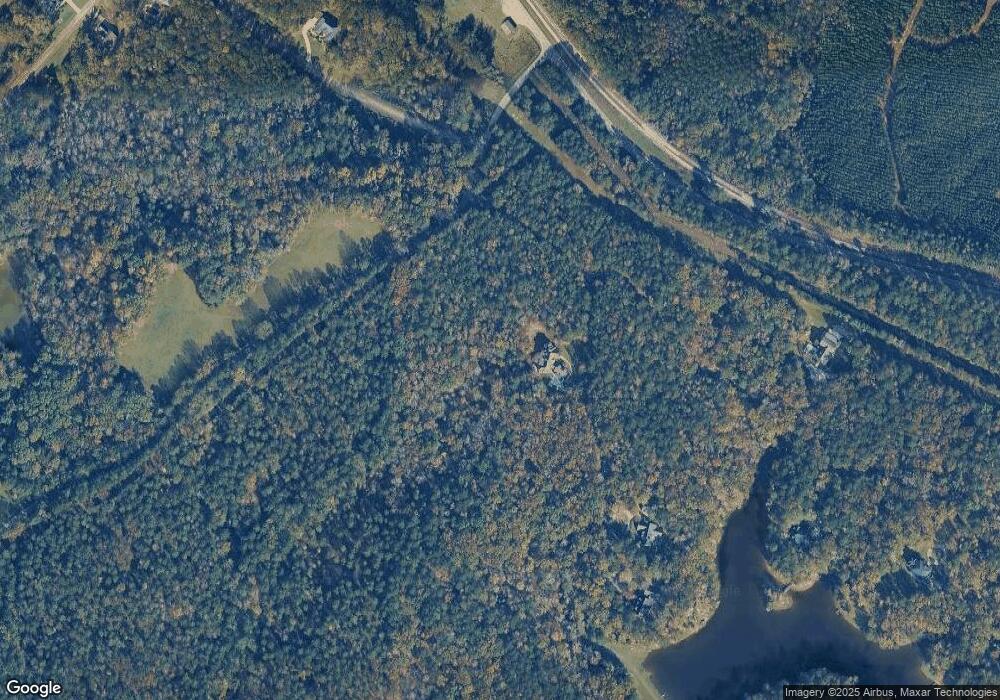
Map
Nearby Homes
- 11 Fawn Dr
- 8827 Estes Rd
- Lot 15-A-1 Creekside Ln
- Lot 15-A-2 Creekside Ln
- Lot 26-A-2 Creekside Trail
- Lot 26-A-1 Creekside Trail
- Lot 27-A-1 Creekside Trail
- 0 Old Rumble Rd
- TRACTS 1 & 5 Old Rumble Rd
- TRACTS 2-4 Old Rumble Rd
- LOT 13 Creekside Ln
- 1122 Irongate
- 1193 Pea Ridge Rd
- 905 Natures Trail
- 14 Creekside Ct
- 14 Creekside Ct
- 106 Creekside Ct
- 112 Irongate
- 0 Rogers Church Rd Unit 10643854
- 14 Oak Valley Dr
- 111 Stonehill Rd Unit 9
- 120 Stonehill Dr
- 68 Farrington Dr Unit 40
- 68 Farrington Dr
- 130 Stonehill Dr
- 210 Stonehill Dr Unit 4
- 210 Stonehill Dr
- 17 Farrington Dr Unit 1
- 17 Farrington Dr
- 221 Stonehill Rd
- 82 Farrington Dr Unit 39
- 82 Farrington Dr
- 45 Farrington Dr
- 96 Farrington Dr Unit 38
- 96 Farrington Dr
- 65 Farrington Dr
- 231 Stonehill Rd
- 52 Cotswold Dr Unit 37
- 52 Cotswold Dr
- 0 Farrington Dr Unit 3162441