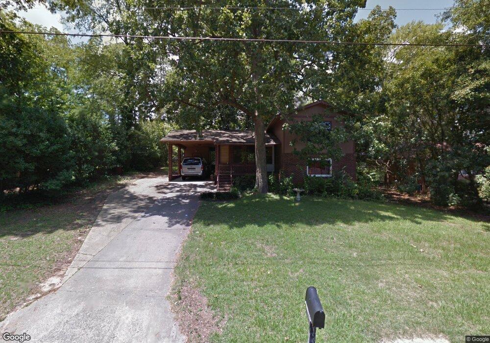
111 Sunnydale Dr Warner Robins, GA 31088
Estimated Value: $130,720 - $175,000
3
Beds
2
Baths
1,522
Sq Ft
$101/Sq Ft
Est. Value
About This Home
This home is located at 111 Sunnydale Dr, Warner Robins, GA 31088 and is currently estimated at $153,430, approximately $100 per square foot. 111 Sunnydale Dr is a home located in Houston County with nearby schools including Shirley Hills Elementary School, Warner Robins Middle School, and Warner Robins High School.
Ownership History
Date
Name
Owned For
Owner Type
Purchase Details
Closed on
Aug 30, 2019
Sold by
Chancellor Phillips Ami B and Chancellor Phillips Lauri
Bought by
Double K Property Management Llc
Current Estimated Value
Purchase Details
Closed on
Dec 9, 2016
Sold by
James E
Bought by
Chancellor Phil Ami D and Chancellor Phil Lauri
Home Financials for this Owner
Home Financials are based on the most recent Mortgage that was taken out on this home.
Original Mortgage
$35,000
Interest Rate
3.57%
Mortgage Type
New Conventional
Purchase Details
Closed on
Oct 18, 1974
Sold by
Smith Nancy J
Bought by
Asbell James E
Purchase Details
Closed on
Oct 10, 1974
Sold by
Smith Percy D
Bought by
Smith Nancy J
Purchase Details
Closed on
Oct 20, 1966
Bought by
Smith Percy D
Create a Home Valuation Report for This Property
The Home Valuation Report is an in-depth analysis detailing your home's value as well as a comparison with similar homes in the area
Home Values in the Area
Average Home Value in this Area
Purchase History
| Date | Buyer | Sale Price | Title Company |
|---|---|---|---|
| Double K Property Management Llc | $39,500 | None Available | |
| Chancellor Phil Ami D | $35,000 | -- | |
| Asbell James E | -- | -- | |
| Smith Nancy J | -- | -- | |
| Smith Percy D | -- | -- |
Source: Public Records
Mortgage History
| Date | Status | Borrower | Loan Amount |
|---|---|---|---|
| Previous Owner | Chancellor Phil Ami D | $35,000 |
Source: Public Records
Tax History Compared to Growth
Tax History
| Year | Tax Paid | Tax Assessment Tax Assessment Total Assessment is a certain percentage of the fair market value that is determined by local assessors to be the total taxable value of land and additions on the property. | Land | Improvement |
|---|---|---|---|---|
| 2024 | $958 | $29,280 | $6,000 | $23,280 |
| 2023 | $859 | $26,040 | $6,000 | $20,040 |
| 2022 | $552 | $24,000 | $6,000 | $18,000 |
| 2021 | $475 | $20,560 | $4,800 | $15,760 |
| 2020 | $367 | $21,800 | $4,800 | $17,000 |
| 2019 | $506 | $21,800 | $4,800 | $17,000 |
| 2018 | $506 | $21,800 | $4,800 | $17,000 |
| 2017 | $326 | $27,560 | $4,800 | $22,760 |
| 2016 | $642 | $27,560 | $4,800 | $22,760 |
| 2015 | -- | $27,560 | $4,800 | $22,760 |
| 2014 | -- | $32,480 | $4,800 | $27,680 |
| 2013 | -- | $32,480 | $4,800 | $27,680 |
Source: Public Records
Map
Nearby Homes
- 139 Rolling Woods Cir
- 108 Woodsdale Dr
- 103 Oakdale Dr
- 115 Glendale Ct
- 1000 Corder Rd
- 103 Victor St
- 1850 Russell Pkwy
- 0 Russell Pkwy Unit 10656199
- 305 Tarrasa Dr
- 216 Self St
- 107 Via Eldorado Dr
- 213 Self St
- 304 Laurie Ln
- 201 Belmont Dr
- 100 Glenwood Ave Unit 701 S. Houston Lake
- 100 Glenwood Ave
- 118 Fox Glove Ct
- 119 Fox Glove Ct
- 25 & 26 Lot
- 1278 S Houston Lake Rd
- 113 Sunnydale Dr
- 109 Sunnydale Dr
- 110 Sunnydale Dr
- 107 Sunnydale Dr
- 115 Sunnydale Dr
- 116 Oakdale Dr
- 113 Woodsdale Dr
- 105 Sunnydale Dr
- 111 Woodsdale Dr
- 109 Woodsdale Dr
- 114 Oakdale Dr
- 201 Sunnydale Dr
- 108 Trusty Trail
- 100 Trusty Trail Unit 5C
- 103 Sunnydale Dr
- 107 Woodsdale Dr
- 102 Sunnydale Dr
- 200 Sunnydale Dr
- 117 Glendale Ct
- 203 Sunnydale Dr