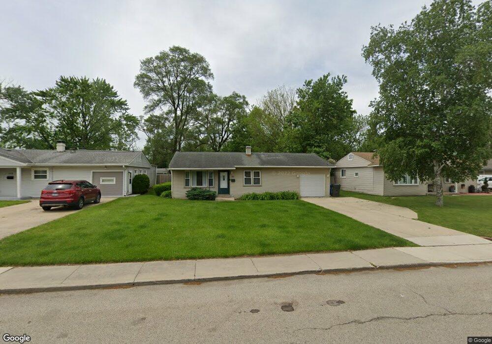
111 Tee Rd Unit 2 Carpentersville, IL 60110
Estimated Value: $237,000 - $253,000
3
Beds
1
Bath
1,000
Sq Ft
$248/Sq Ft
Est. Value
About This Home
This home is located at 111 Tee Rd Unit 2, Carpentersville, IL 60110 and is currently estimated at $248,373, approximately $248 per square foot. 111 Tee Rd Unit 2 is a home located in Kane County with nearby schools including Meadowdale Elementary School, Carpentersville Middle School, and Dundee-Crown High School.
Ownership History
Date
Name
Owned For
Owner Type
Purchase Details
Closed on
Apr 14, 2016
Sold by
Schwietz Gary A and Schwietz Jeannie P
Bought by
Hurtado Amanda
Current Estimated Value
Home Financials for this Owner
Home Financials are based on the most recent Mortgage that was taken out on this home.
Original Mortgage
$7,500
Outstanding Balance
$5,968
Interest Rate
3.73%
Mortgage Type
Stand Alone Second
Estimated Equity
$242,405
Purchase Details
Closed on
Oct 24, 2003
Sold by
Burke Thomas Joseph
Bought by
Schwietz Gary A and Schwietz Jeannie P
Home Financials for this Owner
Home Financials are based on the most recent Mortgage that was taken out on this home.
Original Mortgage
$103,200
Interest Rate
6.01%
Mortgage Type
Purchase Money Mortgage
Create a Home Valuation Report for This Property
The Home Valuation Report is an in-depth analysis detailing your home's value as well as a comparison with similar homes in the area
Home Values in the Area
Average Home Value in this Area
Purchase History
| Date | Buyer | Sale Price | Title Company |
|---|---|---|---|
| Hurtado Amanda | $138,000 | Heritage Title Company | |
| Schwietz Gary A | $129,000 | -- |
Source: Public Records
Mortgage History
| Date | Status | Borrower | Loan Amount |
|---|---|---|---|
| Open | Hurtado Amanda | $7,500 | |
| Open | Hurtado Amanda | $133,394 | |
| Previous Owner | Schwietz Gary A | $103,200 | |
| Closed | Schwietz Gary A | $12,850 |
Source: Public Records
Tax History Compared to Growth
Tax History
| Year | Tax Paid | Tax Assessment Tax Assessment Total Assessment is a certain percentage of the fair market value that is determined by local assessors to be the total taxable value of land and additions on the property. | Land | Improvement |
|---|---|---|---|---|
| 2024 | $4,353 | $65,477 | $12,553 | $52,924 |
| 2023 | $4,278 | $58,914 | $11,295 | $47,619 |
| 2022 | $3,976 | $51,662 | $11,295 | $40,367 |
| 2021 | $3,875 | $48,779 | $10,665 | $38,114 |
| 2020 | $3,808 | $47,682 | $10,425 | $37,257 |
| 2019 | $3,715 | $45,265 | $9,897 | $35,368 |
| 2018 | $3,328 | $39,539 | $9,701 | $29,838 |
| 2017 | $3,178 | $36,987 | $9,075 | $27,912 |
| 2016 | $3,231 | $29,369 | $8,787 | $20,582 |
| 2015 | -- | $23,197 | $8,234 | $14,963 |
| 2014 | -- | $20,998 | $8,007 | $12,991 |
| 2013 | -- | $21,641 | $8,252 | $13,389 |
Source: Public Records
Map
Nearby Homes
- 7 Hickory Dr
- 901 Garfield Dr
- 512 Tyler Dr
- 1000 Adams Ct
- 57 Robin Rd
- 4 Austin Ave
- 7 Austin Ave
- 1505 Plymouth Cir
- 1423 Windsor Cir
- 730 Council Hill Rd
- 1244 Brookdale Dr
- Lot 6B Ravine Rd
- Lot 6A Ravine Rd
- Lot 6 Ravine Rd
- 1415 Plainview Rd
- 103 Hickory Dr
- 157 Austin Ave
- 1317 Brookdale Dr
- 149 Austin Ave
- 1040 Rosewood Dr