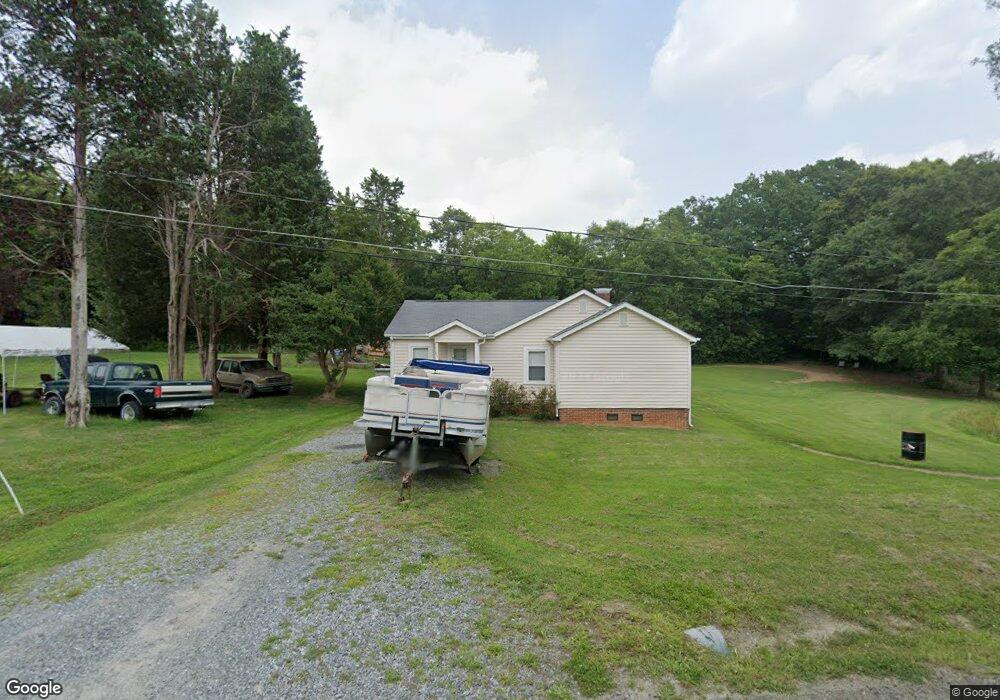
111 Urban Dr Kings Mountain, NC 28086
Estimated Value: $156,756 - $204,000
--
Bed
--
Bath
1,304
Sq Ft
$145/Sq Ft
Est. Value
About This Home
This home is located at 111 Urban Dr, Kings Mountain, NC 28086 and is currently estimated at $188,439, approximately $144 per square foot. 111 Urban Dr is a home located in Cleveland County with nearby schools including East Elementary School, Kings Mountain Middle, and Kings Mountain Intermediate School.
Ownership History
Date
Name
Owned For
Owner Type
Purchase Details
Closed on
Aug 25, 2022
Sold by
Dixon Cloninger Lorri and Dixon Jeffrey Kenneth
Bought by
Sanderson Jonathan
Current Estimated Value
Home Financials for this Owner
Home Financials are based on the most recent Mortgage that was taken out on this home.
Original Mortgage
$149,246
Outstanding Balance
$142,879
Interest Rate
5.51%
Mortgage Type
FHA
Estimated Equity
$45,560
Create a Home Valuation Report for This Property
The Home Valuation Report is an in-depth analysis detailing your home's value as well as a comparison with similar homes in the area
Home Values in the Area
Average Home Value in this Area
Purchase History
| Date | Buyer | Sale Price | Title Company |
|---|---|---|---|
| Sanderson Jonathan | $152,000 | Robinson Lauterbach & Green Pl |
Source: Public Records
Mortgage History
| Date | Status | Borrower | Loan Amount |
|---|---|---|---|
| Open | Sanderson Jonathan | $149,246 |
Source: Public Records
Tax History Compared to Growth
Tax History
| Year | Tax Paid | Tax Assessment Tax Assessment Total Assessment is a certain percentage of the fair market value that is determined by local assessors to be the total taxable value of land and additions on the property. | Land | Improvement |
|---|---|---|---|---|
| 2025 | $984 | $159,980 | $26,730 | $133,250 |
| 2024 | $472 | $57,647 | $13,365 | $44,282 |
| 2023 | $525 | $57,647 | $13,365 | $44,282 |
| 2022 | $525 | $57,647 | $13,365 | $44,282 |
| 2021 | $525 | $57,647 | $13,365 | $44,282 |
| 2020 | $471 | $49,159 | $11,761 | $37,398 |
| 2019 | $471 | $49,159 | $11,761 | $37,398 |
| 2018 | $466 | $49,159 | $11,761 | $37,398 |
| 2017 | $464 | $49,159 | $11,761 | $37,398 |
| 2016 | $441 | $49,159 | $11,761 | $37,398 |
| 2015 | $481 | $54,388 | $10,692 | $43,696 |
| 2014 | $481 | $54,388 | $10,692 | $43,696 |
Source: Public Records
Map
Nearby Homes
- 112 Fulton Dr
- 149 Parker Claire Ln
- 419 Brinkley Dr
- 143 Parker Claire Ln
- 137 Parker Claire Ln
- 157 Parker Claire Ln
- 104 Parker Claire Ln
- 207 Parker Claire Ln
- 0 Southridge Dr Unit CAR4298120
- 412 Brinkley Dr
- 219 Parker Claire Ln
- 123 Parker Claire Ln
- 804 Lee St
- 230 Paige Rd
- 212 Paige Rd
- 218 Paige Rd
- 231 Brinkley Dr
- 245 Paige Rd
- 227 Paige Rd
- Belhaven Plan at Brinkley Ridge