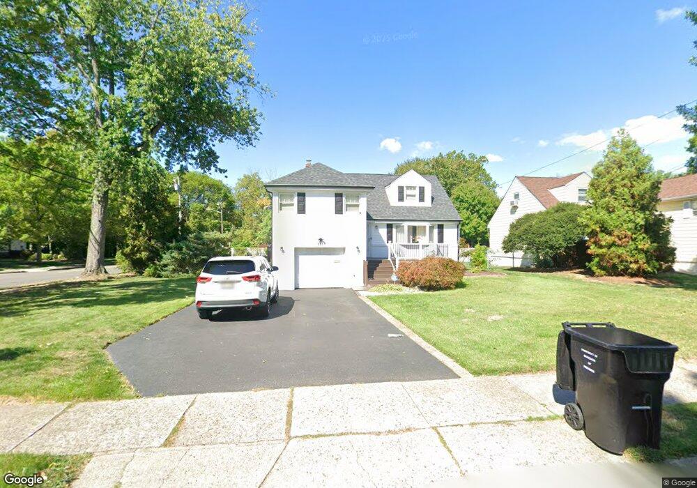
111 Village Cir W Paramus, NJ 07652
Estimated Value: $831,969 - $1,009,000
--
Bed
--
Bath
1,897
Sq Ft
$489/Sq Ft
Est. Value
About This Home
This home is located at 111 Village Cir W, Paramus, NJ 07652 and is currently estimated at $927,742, approximately $489 per square foot. 111 Village Cir W is a home located in Bergen County with nearby schools including Paramus High School, Ben Porat Yosef, and St. Peter Academy.
Ownership History
Date
Name
Owned For
Owner Type
Purchase Details
Closed on
May 29, 2003
Sold by
Pluchino Daniel
Bought by
Baron Dino and Baron Estelita
Current Estimated Value
Home Financials for this Owner
Home Financials are based on the most recent Mortgage that was taken out on this home.
Original Mortgage
$322,700
Outstanding Balance
$137,969
Interest Rate
5.45%
Estimated Equity
$789,773
Purchase Details
Closed on
Jun 29, 1999
Sold by
Shapiro Abraham and Shapiro Diane
Bought by
Pluchino Daniel C and Pluchino Paula M
Home Financials for this Owner
Home Financials are based on the most recent Mortgage that was taken out on this home.
Original Mortgage
$273,500
Interest Rate
7.19%
Purchase Details
Closed on
Oct 11, 1995
Sold by
Winston Gustave and Winston Elaine
Bought by
Shapiro Abraham and Shapiro Diane
Home Financials for this Owner
Home Financials are based on the most recent Mortgage that was taken out on this home.
Original Mortgage
$175,000
Interest Rate
7.6%
Create a Home Valuation Report for This Property
The Home Valuation Report is an in-depth analysis detailing your home's value as well as a comparison with similar homes in the area
Home Values in the Area
Average Home Value in this Area
Purchase History
| Date | Buyer | Sale Price | Title Company |
|---|---|---|---|
| Baron Dino | $405,000 | -- | |
| Pluchino Daniel C | $288,000 | -- | |
| Shapiro Abraham | $248,500 | -- |
Source: Public Records
Mortgage History
| Date | Status | Borrower | Loan Amount |
|---|---|---|---|
| Open | Baron Dino | $322,700 | |
| Previous Owner | Pluchino Daniel C | $273,500 | |
| Previous Owner | Shapiro Abraham | $175,000 |
Source: Public Records
Tax History Compared to Growth
Tax History
| Year | Tax Paid | Tax Assessment Tax Assessment Total Assessment is a certain percentage of the fair market value that is determined by local assessors to be the total taxable value of land and additions on the property. | Land | Improvement |
|---|---|---|---|---|
| 2025 | $10,021 | $704,500 | $365,900 | $338,600 |
| 2024 | $9,721 | $661,900 | $339,200 | $322,700 |
| 2023 | $9,234 | $633,700 | $322,100 | $311,600 |
| 2022 | $9,234 | $595,000 | $301,400 | $293,600 |
| 2021 | $9,059 | $547,700 | $277,200 | $270,500 |
| 2020 | $8,363 | $524,300 | $257,200 | $267,100 |
| 2019 | $7,597 | $409,300 | $225,500 | $183,800 |
| 2018 | $7,502 | $409,300 | $225,500 | $183,800 |
| 2017 | $7,372 | $409,300 | $225,500 | $183,800 |
| 2016 | $7,171 | $409,300 | $225,500 | $183,800 |
| 2015 | $7,097 | $409,300 | $225,500 | $183,800 |
| 2014 | $7,036 | $409,300 | $225,500 | $183,800 |
Source: Public Records
Map
Nearby Homes
- 122 Village Cir E
- 150 Village Cir E
- 56 Lilac Ln
- 187 Crest Dr
- 189 Forest Ave Unit 409
- 189 Forest Ave Unit 303
- 187 Brookfield Ave
- 1 Sipporta Ln
- 81 Eastbrook Dr
- 104 Trinity Ct
- 29 Millar Ct
- 302 Howland Ave
- 16 Coles Ct
- 4 Schubert Ln
- 6 Schubert Ln
- 192 Valley Rd
- 215 Kensington Rd
- 212 Lozier Terrace
- 165 Hebberd Ave
- 46 E Century Rd
- 115 Village Cir W
- 181 Howland Ave
- 191 Howland Ave
- 117 Village Cir W
- 91 Andrea Ct
- 92 Andrea Ct
- 121 Village Cir W
- 114 Village Cir E
- 195 Howland Ave
- 177 Howland Ave
- 89 Andrea Ct
- 90 Andrea Ct
- 118 Village Cir E
- 194 Howland Ave
- 122 Village Cir W
- 123 Village Cir W
- 199 Howland Ave
- 173 Howland Ave
- 110 Ramille Ct
- 87 Andrea Ct