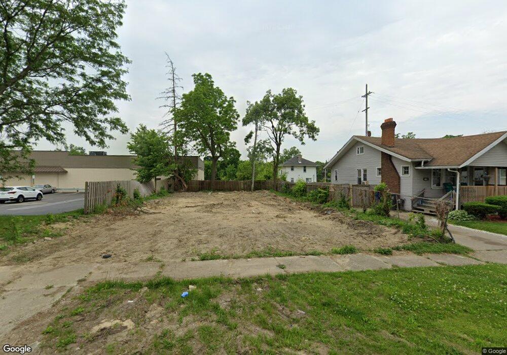
111 W Baker St Flint, MI 48505
King Avenue Plus NeighborhoodEstimated Value: $42,000 - $48,000
2
Beds
1
Bath
1,308
Sq Ft
$34/Sq Ft
Est. Value
About This Home
This home is located at 111 W Baker St, Flint, MI 48505 and is currently estimated at $45,000, approximately $34 per square foot. 111 W Baker St is a home located in Genesee County with nearby schools including Brownell STEM Academy, Flint Cultural Center Academy, and Greater Heights Academy.
Ownership History
Date
Name
Owned For
Owner Type
Purchase Details
Closed on
Dec 21, 2021
Sold by
Cherry Deborah L
Bought by
Genesee County Land Bank Authority
Current Estimated Value
Purchase Details
Closed on
Apr 7, 2018
Sold by
Smith Duane Lee
Bought by
Smith Elizabeth Anne
Purchase Details
Closed on
Nov 28, 2014
Sold by
Snyder Jeffery Keith
Bought by
Smith Duane
Purchase Details
Closed on
Nov 24, 2010
Sold by
Cherry Deborah L
Bought by
Snyder Jeffery Keith
Purchase Details
Closed on
May 1, 2002
Sold by
Taylor Linda F
Bought by
Equicredit Corp Of America
Purchase Details
Closed on
Jan 20, 2000
Sold by
Sims Ronald
Bought by
Midwest Investment Corp
Create a Home Valuation Report for This Property
The Home Valuation Report is an in-depth analysis detailing your home's value as well as a comparison with similar homes in the area
Home Values in the Area
Average Home Value in this Area
Purchase History
| Date | Buyer | Sale Price | Title Company |
|---|---|---|---|
| Genesee County Land Bank Authority | -- | None Listed On Document | |
| Smith Elizabeth Anne | -- | None Available | |
| Smith Duane | -- | None Available | |
| Snyder Jeffery Keith | $450 | None Available | |
| Equicredit Corp Of America | $9,775 | -- | |
| Midwest Investment Corp | $9,000 | Fidelity National Title Ins | |
| Sims Ronald | -- | Sargents Abstract & Title Co |
Source: Public Records
Tax History
| Year | Tax Paid | Tax Assessment Tax Assessment Total Assessment is a certain percentage of the fair market value that is determined by local assessors to be the total taxable value of land and additions on the property. | Land | Improvement |
|---|---|---|---|---|
| 2025 | -- | $0 | $0 | $0 |
| 2024 | -- | $0 | $0 | $0 |
| 2023 | -- | $0 | $0 | $0 |
| 2022 | $0 | $0 | $0 | $0 |
| 2021 | $694 | $10,000 | $0 | $0 |
| 2020 | $648 | $6,500 | $0 | $0 |
| 2019 | $725 | $5,700 | $0 | $0 |
| 2018 | $649 | $6,800 | $0 | $0 |
| 2017 | $635 | $0 | $0 | $0 |
| 2016 | $683 | $0 | $0 | $0 |
| 2015 | -- | $0 | $0 | $0 |
| 2014 | -- | $0 | $0 | $0 |
| 2012 | -- | $9,100 | $0 | $0 |
Source: Public Records
Map
Nearby Homes
- 115 W Baker St
- 2217 Francis Ave
- 218 E Jackson Ave
- 115 E Genesee St
- 506 Green St
- 409 W Genesee St
- 432 W Dartmouth St
- 200 W Mcclellan St
- 320 W Mcclellan St
- 2718 N Chevrolet Ave
- 619 E Dartmouth St
- 800 Martin Luther King Ave
- 1606 Garland St
- 429 Page St
- 1101 W Rankin St
- 341 Crosby St
- 1645 Seminole St
- 3422 Race St
- 3207 Milbourne Ave
- 1909 Proctor Ave
- 119 W Baker St
- 118 W Dayton St
- 123 W Baker St
- 122 W Dayton St
- 126 W Dayton St
- 112 W Baker St
- 125 W Baker St
- 116 W Baker St
- 120 W Baker St
- 130 W Dayton St
- 129 W Baker St
- 2557 M l King Ave
- 134 W Dayton St
- 133 W Baker St
- 115 W Rankin St
- 113 W Rankin St
- 130 W Baker St
- 123 W Dayton St
- 136 W Dayton St
- 119 W Rankin St