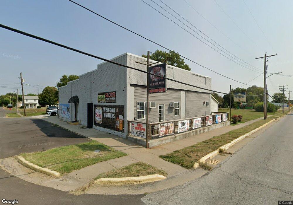
111 W Locust St Fieldon, IL 62031
Estimated Value: $156,800
Studio
--
Bath
2,880
Sq Ft
$54/Sq Ft
Est. Value
About This Home
This home is located at 111 W Locust St, Fieldon, IL 62031 and is currently estimated at $156,800, approximately $54 per square foot. 111 W Locust St is a home located in Jersey County with nearby schools including Jersey Community High School.
Ownership History
Date
Name
Owned For
Owner Type
Purchase Details
Closed on
Dec 9, 2016
Sold by
Miller Michael A
Bought by
Madson Robert J and Madson Tina M
Current Estimated Value
Home Financials for this Owner
Home Financials are based on the most recent Mortgage that was taken out on this home.
Original Mortgage
$95,000
Interest Rate
3.57%
Mortgage Type
Commercial
Purchase Details
Closed on
Dec 5, 2005
Sold by
Snyder Ricky
Bought by
Miller Michael
Home Financials for this Owner
Home Financials are based on the most recent Mortgage that was taken out on this home.
Original Mortgage
$60,000
Interest Rate
6.36%
Create a Home Valuation Report for This Property
The Home Valuation Report is an in-depth analysis detailing your home's value as well as a comparison with similar homes in the area
Purchase History
| Date | Buyer | Sale Price | Title Company |
|---|---|---|---|
| Madson Robert J | $57,500 | None Available | |
| Miller Michael | -- | -- |
Source: Public Records
Mortgage History
| Date | Status | Borrower | Loan Amount |
|---|---|---|---|
| Closed | Madson Robert J | $95,000 | |
| Previous Owner | Miller Michael | $60,000 | |
| Previous Owner | Miller Michael | $5,000 |
Source: Public Records
Tax History
| Year | Tax Paid | Tax Assessment Tax Assessment Total Assessment is a certain percentage of the fair market value that is determined by local assessors to be the total taxable value of land and additions on the property. | Land | Improvement |
|---|---|---|---|---|
| 2024 | $1,763 | $27,550 | $6,885 | $20,665 |
| 2023 | $1,678 | $25,045 | $6,260 | $18,785 |
| 2022 | $1,642 | $23,405 | $5,850 | $17,555 |
| 2021 | $1,636 | $23,005 | $5,750 | $17,255 |
| 2020 | $1,560 | $21,705 | $5,425 | $16,280 |
| 2019 | $1,560 | $21,225 | $5,305 | $15,920 |
| 2018 | $1,539 | $21,225 | $5,305 | $15,920 |
| 2017 | $1,547 | $21,065 | $5,265 | $15,800 |
| 2016 | $1,553 | $21,065 | $5,265 | $15,800 |
| 2015 | -- | $21,065 | $5,265 | $15,800 |
| 2014 | -- | $21,100 | $5,275 | $15,825 |
Source: Public Records
Map
Nearby Homes
- 111 E Warren St
- 208 S Public Rd
- 000 Fieldon Hallow Rd
- 18723 S Creek Rd
- 00 Eldred Rd
- Tbd Sw 875 St
- 236 Gallinipper Rd
- 247 Spanky Rd
- 117 S Hamilton St
- 201 Barry St
- 212 Franklin St
- 208 N County Rd
- 305 Vineyard St
- 23343 Mimi St
- 307 N Park St
- 1004 Brianna Ct
- 916 Brianna Ct
- 912 Hansen Gata
- 2388 Plummer Hill Rd
- 155 Roberts St
- 109 E Locust St
- 201 W Locust St
- 108 W Locust St
- 200 W Locust St
- 107 W Locust St
- 111 W Main St
- 103 W Locust St
- 109 W Main St
- 107 W Main St
- 208 W Locust St
- 206 W Warren St
- 100 S 2nd St
- 105 W Main St
- 205 W Main St
- 207 W Locust St
- 208 W Warren St
- 210 W Locust St
- 104 W Warren St
- 201 W Warren St
- 207 W Main St
Your Personal Tour Guide
Ask me questions while you tour the home.