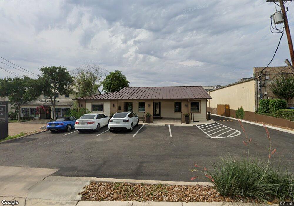
111 W Sunset Rd San Antonio, TX 78209
Lincoln Heights NeighborhoodEstimated Value: $624,849
--
Bed
--
Bath
1,862
Sq Ft
$336/Sq Ft
Est. Value
About This Home
This home is located at 111 W Sunset Rd, San Antonio, TX 78209 and is currently estimated at $624,849, approximately $335 per square foot. 111 W Sunset Rd is a home located in Bexar County with nearby schools including Cambridge Elementary School, Alamo Heights Junior School, and Alamo Heights High School.
Ownership History
Date
Name
Owned For
Owner Type
Purchase Details
Closed on
Jul 29, 2022
Sold by
Ithaca Investments Ltd
Bought by
Gateway Prime Re Sa Llc
Current Estimated Value
Purchase Details
Closed on
Sep 17, 2019
Sold by
Dodge D Derrick
Bought by
111 Sunset Llc
Home Financials for this Owner
Home Financials are based on the most recent Mortgage that was taken out on this home.
Original Mortgage
$443,328
Interest Rate
3.7%
Mortgage Type
Commercial
Create a Home Valuation Report for This Property
The Home Valuation Report is an in-depth analysis detailing your home's value as well as a comparison with similar homes in the area
Home Values in the Area
Average Home Value in this Area
Purchase History
| Date | Buyer | Sale Price | Title Company |
|---|---|---|---|
| Gateway Prime Re Sa Llc | -- | Chicago Title Company | |
| 111 Sunset Llc | -- | Presidio Title |
Source: Public Records
Mortgage History
| Date | Status | Borrower | Loan Amount |
|---|---|---|---|
| Previous Owner | 111 Sunset Llc | $443,328 |
Source: Public Records
Tax History Compared to Growth
Tax History
| Year | Tax Paid | Tax Assessment Tax Assessment Total Assessment is a certain percentage of the fair market value that is determined by local assessors to be the total taxable value of land and additions on the property. | Land | Improvement |
|---|---|---|---|---|
| 2025 | $12,310 | $530,410 | $485,980 | $44,430 |
| 2024 | $12,310 | $546,870 | $485,980 | $60,890 |
| 2023 | $12,310 | $532,770 | $441,820 | $90,950 |
| 2022 | $12,411 | $512,690 | $339,820 | $172,870 |
| 2021 | $11,861 | $475,250 | $323,640 | $151,610 |
| 2020 | $10,854 | $434,430 | $323,640 | $110,790 |
| 2019 | $6,650 | $259,920 | $236,570 | $23,350 |
| 2018 | $6,417 | $256,180 | $229,680 | $26,500 |
| 2017 | $6,412 | $256,000 | $229,680 | $26,320 |
| 2016 | $6,154 | $245,680 | $229,680 | $16,000 |
| 2015 | $4,854 | $245,680 | $187,920 | $57,760 |
| 2014 | $4,854 | $191,990 | $0 | $0 |
Source: Public Records
Map
Nearby Homes
- 7930 Broadway St Unit 801
- 8038 Broadway St Unit 225L
- 8038 Broadway St Unit 123
- 8038 Broadway St Unit 223
- 8038 Broadway St Unit 118K
- 7926 Broadway St Unit 101
- 7926 Broadway St Unit 401
- 7926 Broadway St Unit 102
- 1618 W Lawndale Dr
- 8058 Broadway Unit 138N
- 8058 Broadway Unit 251U
- 8058 Broadway Unit 247 U
- 8058 Broadway Unit 257T
- 7887 Broadway St Unit 1102/1103
- 7887 Broadway St Unit 302
- 7897 Broadway Unit 1001
- 8112 Scottshill
- 8109 Scottshill
- 227 E Sunset Rd
- 8117 Scottshill