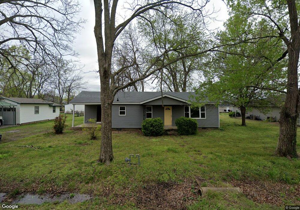
111 W Thurman St Prairie Grove, AR 72753
Estimated Value: $128,000 - $178,000
--
Bed
--
Bath
890
Sq Ft
$174/Sq Ft
Est. Value
About This Home
This home is located at 111 W Thurman St, Prairie Grove, AR 72753 and is currently estimated at $154,905, approximately $174 per square foot. 111 W Thurman St is a home with nearby schools including Prairie Grove Elementary School, Prairie Grove Middle School, and Prairie Grove Junior High School.
Ownership History
Date
Name
Owned For
Owner Type
Purchase Details
Closed on
Aug 29, 2025
Sold by
Palmeira Properties Llc
Bought by
Bostian Properties Llc
Current Estimated Value
Purchase Details
Closed on
Jul 20, 2020
Sold by
Chamber Calvin D and Rlt Lila
Bought by
Palmeira Properties Llc
Home Financials for this Owner
Home Financials are based on the most recent Mortgage that was taken out on this home.
Original Mortgage
$85,000
Interest Rate
3.2%
Mortgage Type
Future Advance Clause Open End Mortgage
Create a Home Valuation Report for This Property
The Home Valuation Report is an in-depth analysis detailing your home's value as well as a comparison with similar homes in the area
Home Values in the Area
Average Home Value in this Area
Purchase History
| Date | Buyer | Sale Price | Title Company |
|---|---|---|---|
| Bostian Properties Llc | $115,000 | Advantage Title | |
| Palmeira Properties Llc | $100,000 | Realty Ttl & Closing Svcs Ll |
Source: Public Records
Mortgage History
| Date | Status | Borrower | Loan Amount |
|---|---|---|---|
| Previous Owner | Palmeira Properties Llc | $85,000 |
Source: Public Records
Tax History Compared to Growth
Tax History
| Year | Tax Paid | Tax Assessment Tax Assessment Total Assessment is a certain percentage of the fair market value that is determined by local assessors to be the total taxable value of land and additions on the property. | Land | Improvement |
|---|---|---|---|---|
| 2025 | $887 | $22,340 | $11,900 | $10,440 |
| 2024 | $831 | $22,340 | $11,900 | $10,440 |
| 2023 | $791 | $22,340 | $11,900 | $10,440 |
| 2022 | $719 | $13,320 | $4,900 | $8,420 |
| 2021 | $719 | $13,320 | $4,900 | $8,420 |
| 2020 | $549 | $13,320 | $4,900 | $8,420 |
| 2019 | $505 | $9,280 | $4,000 | $5,280 |
| 2018 | $505 | $9,280 | $4,000 | $5,280 |
| 2017 | $500 | $9,280 | $4,000 | $5,280 |
| 2016 | $500 | $9,280 | $4,000 | $5,280 |
| 2015 | $500 | $9,280 | $4,000 | $5,280 |
| 2014 | $552 | $10,250 | $4,000 | $6,250 |
Source: Public Records
Map
Nearby Homes
- 4.66 +/- AC Tract 5 Hwy 62 & S Mock St
- 211 Boston St
- 601 Westwood Ave
- 311 S Mock St
- 110 Cypress St
- 106 S Ozark St
- TBD Kate Smith St
- 703 Grant Ave
- Lot 2 Holmes St
- 107 S Ozark St
- 208 N Neal St
- 304 S Summit St
- 308 S Summit St
- 600 Kendra St
- 621 Kendra St
- 740 Kendra St
- 661 Summer Ln
- 601 Pennington Ave
- 661 Marcella St
- 611 Marcella St
- 109 W Thurman St
- 201 W Thurman St
- 201 E Thurman St
- 112 W Thurman St
- 108 W Thurman St
- 202 W Butler St
- 203 W Thurman St
- 302 S Mock St
- 209 Elm St
- 218 S Mock St
- 200 W Thurman St
- 212 S Mock St
- 300 S Mock St
- 308 S Mock St
- 106 W Thurman St
- 208 W Thurman St
- 109 W Cleveland St
- 205 Elm St
- 208 Elm St
- 210 W Thurman St