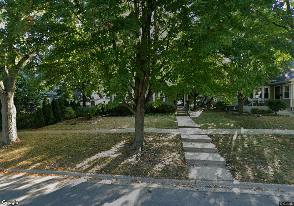
111 Walton St Barrington, IL 60010
Estimated Value: $506,000 - $535,000
4
Beds
3
Baths
1,838
Sq Ft
$283/Sq Ft
Est. Value
About This Home
This home is located at 111 Walton St, Barrington, IL 60010 and is currently estimated at $519,270, approximately $282 per square foot. 111 Walton St is a home located in Cook County with nearby schools including Arnett C. Lines Elementary School, Barrington Middle School Station Campus, and Barrington High School.
Ownership History
Date
Name
Owned For
Owner Type
Purchase Details
Closed on
Dec 12, 2019
Sold by
Kennedy Vincent T and Coletta Suzanne I
Bought by
Vincent T Kennedy Revocable Trust and Suzanne I Coletta Revocable Trust
Current Estimated Value
Purchase Details
Closed on
Oct 5, 2002
Sold by
Kennedy Vincent T and Coletta Suzanne I
Bought by
Kennedy Vincent T and Coletta Suzanne I
Home Financials for this Owner
Home Financials are based on the most recent Mortgage that was taken out on this home.
Original Mortgage
$117,250
Interest Rate
6.24%
Purchase Details
Closed on
Sep 24, 1993
Sold by
Fortune E Dwayne and Fortune Kile S
Bought by
Kennedy Vincent T and Coletta Suzanne I
Home Financials for this Owner
Home Financials are based on the most recent Mortgage that was taken out on this home.
Original Mortgage
$125,000
Interest Rate
7%
Create a Home Valuation Report for This Property
The Home Valuation Report is an in-depth analysis detailing your home's value as well as a comparison with similar homes in the area
Home Values in the Area
Average Home Value in this Area
Purchase History
We collect this data history from publicly available records. To have your information removed, we recommend requesting removal directly through your county’s website.
| Date | Buyer | Sale Price | Title Company |
|---|---|---|---|
| Vincent T Kennedy Revocable Trust | -- | Attorney | |
| Kennedy Vincent T | -- | -- | |
| Kennedy Vincent T | $152,333 | -- |
Source: Public Records
Mortgage History
We collect this data history from publicly available records. To have your information removed, we recommend requesting removal directly through your county’s website.
| Date | Status | Borrower | Loan Amount |
|---|---|---|---|
| Closed | Kennedy Vincent T | $117,250 | |
| Closed | Kennedy Vincent T | $125,000 |
Source: Public Records
Tax History
| Year | Tax Paid | Tax Assessment Tax Assessment Total Assessment is a certain percentage of the fair market value that is determined by local assessors to be the total taxable value of land and additions on the property. | Land | Improvement |
|---|---|---|---|---|
| 2025 | $7,521 | $48,000 | $8,762 | $39,238 |
| 2024 | $7,521 | $37,000 | $7,302 | $29,698 |
| 2023 | $7,326 | $37,000 | $7,302 | $29,698 |
| 2022 | $7,326 | $37,000 | $7,302 | $29,698 |
| 2021 | $8,527 | $37,907 | $3,833 | $34,074 |
| 2020 | $8,284 | $37,907 | $3,833 | $34,074 |
| 2019 | $8,161 | $42,213 | $3,833 | $38,380 |
| 2018 | $8,964 | $44,376 | $3,468 | $40,908 |
| 2017 | $8,795 | $44,376 | $3,468 | $40,908 |
| 2016 | $8,550 | $44,376 | $3,468 | $40,908 |
| 2015 | $8,028 | $38,960 | $3,103 | $35,857 |
| 2014 | $7,951 | $38,960 | $3,103 | $35,857 |
| 2013 | $7,600 | $38,960 | $3,103 | $35,857 |
Source: Public Records
Map
Nearby Homes
- 520 E Main St Unit 1C
- 157 Walton St
- 123 Kainer Ave
- 715 E Main St
- 550 E Main St Unit 2A
- 443 June Terrace
- 121 N Glendale Ave
- 384 Whitney Dr
- 319 S Glendale Ave Unit 303
- 319 S Glendale Ave Unit 204
- 331 E Russell St
- 507 North Ave
- 842 Bristol Dr Unit 842
- 175 Hilltop Ave
- 206 N Cook St
- 884 Bristol Dr Unit 884
- 160 Washington St Unit 160
- 150 Washington St
- 418 E Hillside Ave
- 528 S Cook St
- 115 Walton St
- 103 Walton St
- 609 E Main St
- 119 Walton St
- 621 E Main St
- 519 E Main St
- 115 George St
- 123 S George St
- 158 Walton St Unit 2C
- 114 Walton St
- 162 Walton St Unit 2F
- 162 Walton St Unit 1F
- 162 Walton St Unit 2E
- 123 George St
- 116 Walton St
- 123 Walton St
- 515 E Main St
- 120 Walton St
- 125 George St
- 627 E Main St
Your Personal Tour Guide
Ask me questions while you tour the home.