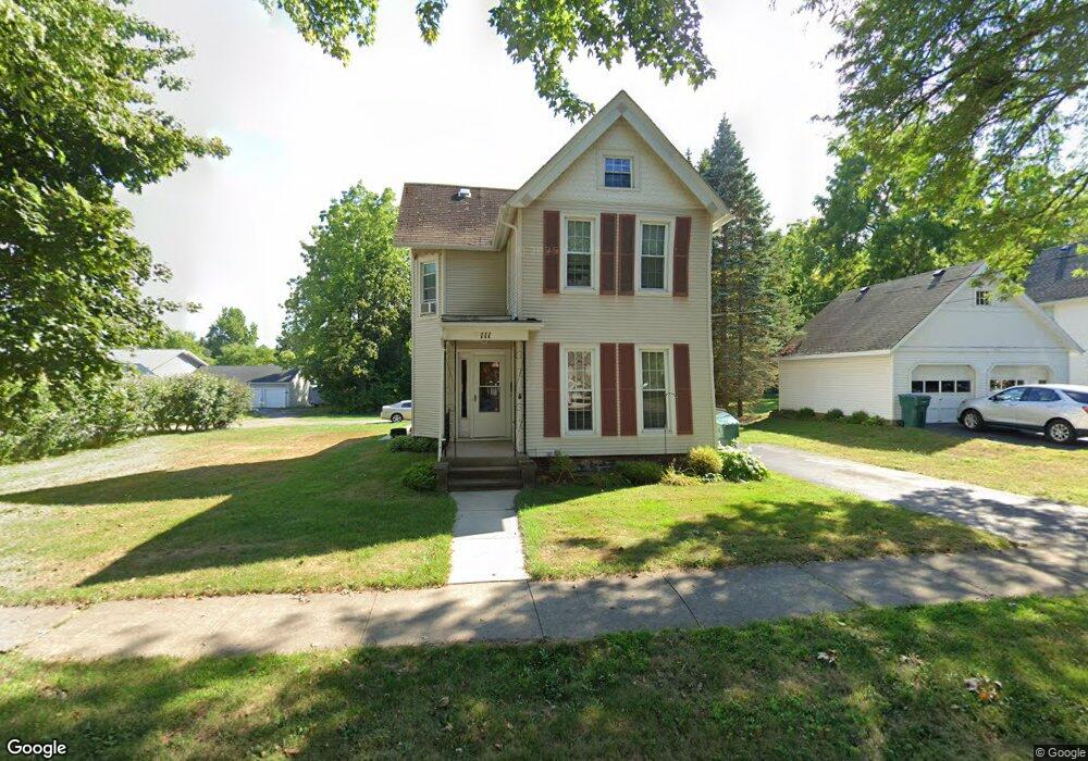
111 West Ave Spencerport, NY 14559
Estimated Value: $220,000 - $292,000
3
Beds
2
Baths
2,109
Sq Ft
$124/Sq Ft
Est. Value
About This Home
This home is located at 111 West Ave, Spencerport, NY 14559 and is currently estimated at $260,490, approximately $123 per square foot. 111 West Ave is a home located in Monroe County with nearby schools including A M Cosgrove Middle School and Spencerport High School.
Ownership History
Date
Name
Owned For
Owner Type
Purchase Details
Closed on
Sep 17, 2013
Sold by
Maier Francis J
Bought by
111 West Avenue Llc
Current Estimated Value
Home Financials for this Owner
Home Financials are based on the most recent Mortgage that was taken out on this home.
Original Mortgage
$60,000
Interest Rate
4.51%
Mortgage Type
New Conventional
Purchase Details
Closed on
Jul 30, 2013
Sold by
Berry Douglas H
Bought by
Maier Francis J
Home Financials for this Owner
Home Financials are based on the most recent Mortgage that was taken out on this home.
Original Mortgage
$60,000
Interest Rate
4.51%
Mortgage Type
New Conventional
Create a Home Valuation Report for This Property
The Home Valuation Report is an in-depth analysis detailing your home's value as well as a comparison with similar homes in the area
Home Values in the Area
Average Home Value in this Area
Purchase History
| Date | Buyer | Sale Price | Title Company |
|---|---|---|---|
| 111 West Avenue Llc | -- | None Available | |
| Maier Francis J | $120,000 | None Available |
Source: Public Records
Mortgage History
| Date | Status | Borrower | Loan Amount |
|---|---|---|---|
| Previous Owner | Maier Francis J | $60,000 |
Source: Public Records
Tax History Compared to Growth
Tax History
| Year | Tax Paid | Tax Assessment Tax Assessment Total Assessment is a certain percentage of the fair market value that is determined by local assessors to be the total taxable value of land and additions on the property. | Land | Improvement |
|---|---|---|---|---|
| 2024 | $7,133 | $214,400 | $56,400 | $158,000 |
| 2023 | $7,188 | $140,800 | $30,500 | $110,300 |
| 2022 | $6,774 | $140,800 | $30,500 | $110,300 |
| 2021 | $6,580 | $140,800 | $30,500 | $110,300 |
| 2020 | $6,423 | $140,800 | $30,500 | $110,300 |
| 2019 | $6,237 | $140,800 | $30,500 | $110,300 |
| 2018 | $6,456 | $140,800 | $30,500 | $110,300 |
| 2017 | $3,114 | $128,000 | $30,500 | $97,500 |
| 2016 | $6,237 | $128,000 | $29,000 | $99,000 |
| 2015 | -- | $128,000 | $29,000 | $99,000 |
| 2014 | -- | $128,000 | $29,000 | $99,000 |
Source: Public Records
Map
Nearby Homes
- 78 Clark St
- 87 Highview Dr
- 154 Amity St
- 326 Village Walk Cir
- 0000 Bay Leaf Cir Lot#119
- 000
- 00 Bay Leaf Circle Lot#117
- 0 Unit R1620030
- 64 Coleman Ave
- 24 Birdsong Terrace
- 28 Coolidge Ave
- 92 Coolidge Ave
- 49 Hillcrest Dr
- 62 Clearview Dr
- 76 Hawthorne Dr
- 2283 S Union St
- 420 Ogden Parma Town Line Rd
- 607 Trimmer Rd
- 4028 Canal Rd
- 57 Glenn Haven