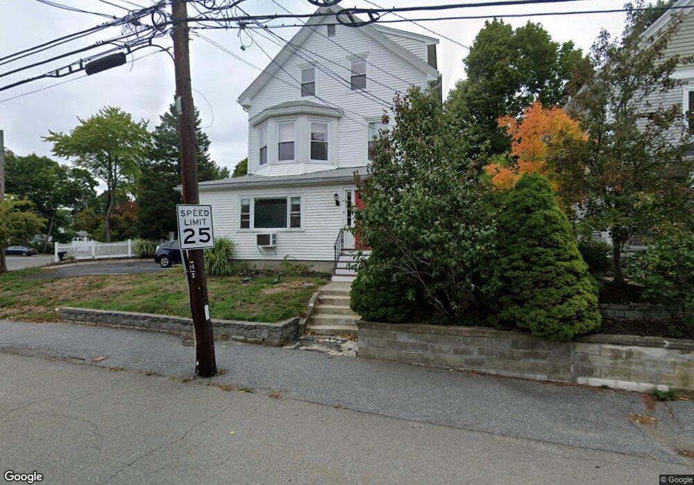
111 Woerd Ave Waltham, MA 02453
Angleside NeighborhoodEstimated Value: $1,194,000 - $1,316,000
6
Beds
6
Baths
3,226
Sq Ft
$395/Sq Ft
Est. Value
About This Home
This home is located at 111 Woerd Ave, Waltham, MA 02453 and is currently estimated at $1,275,333, approximately $395 per square foot. 111 Woerd Ave is a home located in Middlesex County with nearby schools including Henry Whittemore Elementary School, John W. Mcdevitt Middle School, and Waltham Sr High School.
Ownership History
Date
Name
Owned For
Owner Type
Purchase Details
Closed on
Dec 12, 1995
Sold by
Mazzone Marino A
Bought by
Mazzone 1995 Nt
Current Estimated Value
Purchase Details
Closed on
May 14, 1990
Sold by
Mazzone Marino A
Bought by
Mazzone Marino A
Create a Home Valuation Report for This Property
The Home Valuation Report is an in-depth analysis detailing your home's value as well as a comparison with similar homes in the area
Home Values in the Area
Average Home Value in this Area
Purchase History
| Date | Buyer | Sale Price | Title Company |
|---|---|---|---|
| Mazzone 1995 Nt | $20,000 | -- | |
| Mazzone Marino A | $20,000 | -- |
Source: Public Records
Mortgage History
| Date | Status | Borrower | Loan Amount |
|---|---|---|---|
| Open | Mazzone Marino A | $159,700 | |
| Closed | Mazzone Marino A | $50,000 |
Source: Public Records
Tax History Compared to Growth
Tax History
| Year | Tax Paid | Tax Assessment Tax Assessment Total Assessment is a certain percentage of the fair market value that is determined by local assessors to be the total taxable value of land and additions on the property. | Land | Improvement |
|---|---|---|---|---|
| 2025 | $9,392 | $956,400 | $367,400 | $589,000 |
| 2024 | $8,659 | $898,200 | $367,400 | $530,800 |
| 2023 | $8,614 | $834,700 | $334,700 | $500,000 |
| 2022 | $8,742 | $784,700 | $305,600 | $479,100 |
| 2021 | $8,225 | $726,600 | $276,500 | $450,100 |
| 2020 | $8,134 | $680,700 | $261,900 | $418,800 |
| 2019 | $7,525 | $594,400 | $259,300 | $335,100 |
| 2018 | $6,857 | $543,800 | $240,100 | $303,700 |
| 2017 | $6,556 | $522,000 | $218,300 | $303,700 |
| 2016 | $6,077 | $496,500 | $192,800 | $303,700 |
| 2015 | $5,785 | $440,600 | $189,200 | $251,400 |
Source: Public Records
Map
Nearby Homes
- 73 Orange St Unit 2
- 11 Derby St
- 101-103 Lexington St
- 49 Staniford St
- 31-37 Washington Ave
- 265-267 River St Unit 267
- 265-267 River St Unit 265
- 15 Alder St Unit 1
- 24 Tolman St Unit A
- 47 Alder St Unit 6
- 40 Myrtle St Unit 9
- 160 Pine St Unit 12
- 42 Alder St
- 81 Alder St
- 85 Crescent St
- 90 Auburndale Ave
- 61 Hall St Unit 1
- 61 Hall St Unit 9
- 61 Hall St Unit 2
- 61 Hall St Unit 7
- 111 Woerd Ave Unit 1
- 111 Woerd Ave Unit 3
- 107 Woerd Ave Unit 109
- 7 Endicott St
- 14 Riverview Ave
- 20 Riverview Ave
- 4 Riverview Ave
- 13 Endicott St Unit 15
- 16 Riverview Ave
- 24 Riverview Ave
- 121 Woerd Ave Unit 2
- 13 Rumford Ave Unit 2
- 13 Rumford Ave
- 3 Rumford Ave Unit 1
- 10 Martyn St Unit 3
- 10 Martyn St Unit 1
- 10 Martyn St
- 10 Martyn St Unit 2
- 8 Martyn St Unit 10
- 17 Endicott St Unit 19