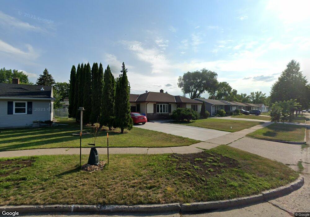
1110 15 1 2 Ave S Fargo, ND 58103
Clara Barton NeighborhoodEstimated Value: $178,000 - $269,000
3
Beds
2
Baths
1,180
Sq Ft
$204/Sq Ft
Est. Value
About This Home
This home is located at 1110 15 1 2 Ave S, Fargo, ND 58103 and is currently estimated at $241,255, approximately $204 per square foot. 1110 15 1 2 Ave S is a home located in Cass County with nearby schools including Clara Barton Elementary School, Carl Ben Eielson Middle School, and South High School.
Ownership History
Date
Name
Owned For
Owner Type
Purchase Details
Closed on
Nov 20, 2013
Sold by
Moran Beverly M and Mcgillis Dawn E
Bought by
Elstad Bryan
Current Estimated Value
Home Financials for this Owner
Home Financials are based on the most recent Mortgage that was taken out on this home.
Original Mortgage
$126,000
Outstanding Balance
$93,964
Interest Rate
4.23%
Mortgage Type
New Conventional
Estimated Equity
$147,291
Purchase Details
Closed on
Jan 15, 2008
Sold by
Moran Douglas C and Moran Beverly M
Bought by
Moran Douglas C and Moran Beverly M
Create a Home Valuation Report for This Property
The Home Valuation Report is an in-depth analysis detailing your home's value as well as a comparison with similar homes in the area
Home Values in the Area
Average Home Value in this Area
Purchase History
| Date | Buyer | Sale Price | Title Company |
|---|---|---|---|
| Elstad Bryan | $140,000 | None Available | |
| Moran Douglas C | -- | -- |
Source: Public Records
Mortgage History
| Date | Status | Borrower | Loan Amount |
|---|---|---|---|
| Open | Elstad Bryan | $126,000 |
Source: Public Records
Tax History Compared to Growth
Tax History
| Year | Tax Paid | Tax Assessment Tax Assessment Total Assessment is a certain percentage of the fair market value that is determined by local assessors to be the total taxable value of land and additions on the property. | Land | Improvement |
|---|---|---|---|---|
| 2024 | $2,986 | $121,600 | $26,650 | $94,950 |
| 2023 | $3,256 | $113,650 | $26,650 | $87,000 |
| 2022 | $2,882 | $106,200 | $26,650 | $79,550 |
| 2021 | $2,647 | $99,350 | $29,500 | $69,850 |
| 2020 | $2,534 | $95,550 | $29,500 | $66,050 |
| 2019 | $2,350 | $89,300 | $16,400 | $72,900 |
| 2018 | $2,319 | $89,300 | $16,400 | $72,900 |
| 2017 | $2,228 | $86,700 | $16,400 | $70,300 |
| 2016 | $2,043 | $86,700 | $16,400 | $70,300 |
| 2015 | $2,116 | $84,200 | $12,300 | $71,900 |
| 2014 | $2,009 | $77,950 | $12,300 | $65,650 |
| 2013 | $2,253 | $77,950 | $12,300 | $65,650 |
Source: Public Records
Map
Nearby Homes
- 1550 13 1 2 St S
- 1439 10th St S
- 1425 11th St S
- 1361 16th Ave S
- 1710 14th St S
- 1550 14 1 2 St S
- 1301 10th St S
- 1545 15th St S
- 1314 14th St S
- 1718 15th St S
- 1208 University Dr S
- 1124 University Dr S
- 1112 University Dr S
- 1418 12th Ave S
- 1834 14 1 2 St S
- 1418 11th Ave S
- 1414 10th Ave S
- 1301 16 1 2 St S
- 1407 17th St S
- 910 University Dr S
- 1110 15 1/2 Ave S
- 1106 15 1 2 Ave S
- 1114 15 1/2 Ave S
- 1106 15 1/2 Ave S
- 1114 15 1 2 Ave S
- 1105 16th Ave S
- 1118 15 1/2 Ave S
- 1102 15 1/2 Ave S
- 1109 16th Ave S
- 1101 16th Ave S
- 1118 15 1 2 Ave S
- 1107 15 1 2 Ave S
- 1107 15 1/2 Ave S
- 1521 11th St S
- 1522 12th St S
- 1113 16th Ave S
- 1017 16th Ave S
- 1202 15 1/2 Ave S
- 1202 15 1 2 Ave S
- 1013 16th Ave S