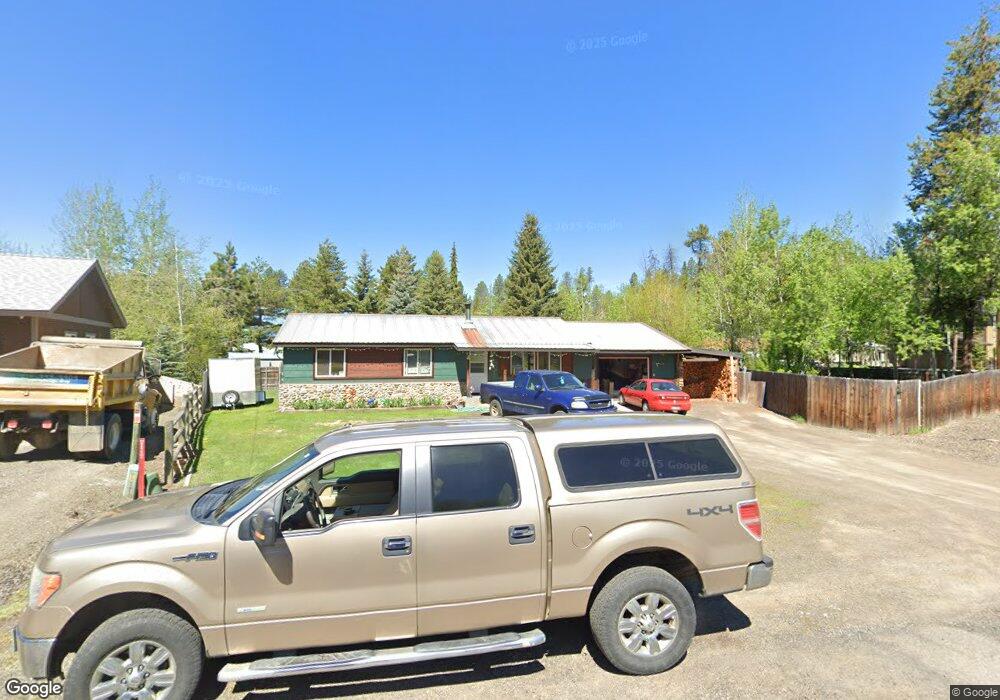
1110 Bay Colt Way McCall, ID 83638
Estimated Value: $538,054 - $760,000
3
Beds
1
Bath
1,056
Sq Ft
$634/Sq Ft
Est. Value
About This Home
This home is located at 1110 Bay Colt Way, McCall, ID 83638 and is currently estimated at $670,014, approximately $634 per square foot. 1110 Bay Colt Way is a home with nearby schools including McCall-Donnelly High School, Mountain Life Education, and The North Fork School.
Ownership History
Date
Name
Owned For
Owner Type
Purchase Details
Closed on
Mar 29, 2022
Sold by
Trapp Monika A
Bought by
Trapp Monika A and Martin Larry James
Current Estimated Value
Home Financials for this Owner
Home Financials are based on the most recent Mortgage that was taken out on this home.
Original Mortgage
$40,000
Outstanding Balance
$32,700
Interest Rate
3.63%
Estimated Equity
$637,314
Create a Home Valuation Report for This Property
The Home Valuation Report is an in-depth analysis detailing your home's value as well as a comparison with similar homes in the area
Home Values in the Area
Average Home Value in this Area
Purchase History
| Date | Buyer | Sale Price | Title Company |
|---|---|---|---|
| Trapp Monika A | -- | None Listed On Document |
Source: Public Records
Mortgage History
| Date | Status | Borrower | Loan Amount |
|---|---|---|---|
| Open | Trapp Monika A | $40,000 |
Source: Public Records
Tax History Compared to Growth
Tax History
| Year | Tax Paid | Tax Assessment Tax Assessment Total Assessment is a certain percentage of the fair market value that is determined by local assessors to be the total taxable value of land and additions on the property. | Land | Improvement |
|---|---|---|---|---|
| 2025 | $1,614 | $488,172 | $171,400 | $316,772 |
| 2023 | $1,614 | $492,348 | $154,260 | $338,088 |
| 2022 | $2,360 | $460,294 | $171,400 | $288,894 |
| 2021 | $1,287 | $309,762 | $60,197 | $249,565 |
| 2020 | $1,250 | $236,186 | $78,268 | $157,918 |
| 2019 | $1,144 | $212,822 | $64,519 | $148,303 |
| 2018 | $1,073 | $195,905 | $58,229 | $137,676 |
| 2017 | $1,129 | $193,985 | $58,229 | $135,756 |
| 2016 | $1,124 | $188,405 | $49,525 | $138,880 |
| 2015 | $1,101 | $177,291 | $0 | $0 |
| 2013 | -- | $163,933 | $0 | $0 |
Source: Public Records
Map
Nearby Homes
- 703 Wooley Ave
- 707 Bridle Path Way
- 2 Spruce St
- 2 Spruce St Unit 6
- 911 Davis Ave
- 717 Spruce St
- 1305 Greystone Dr
- 1305 Greystone Dr Unit 2
- 712 Reedy Ln
- 1345 Divot Ln
- 601 Hemlock St Unit 10
- 601 Hemlock St Unit 3
- 1365 Divot Ln Unit 7
- 1365 Divot Ln
- 611 Blue Water Cir
- 1425 Clements Rd Unit 5
- 1391 Greystone Dr
- 813 & 815 Reedy Ln
- 815 Reedy Ln
- 622 Blue Water Cir
- 701 Bridle Path Way
- 1108 Bay Colt Way
- 1115 Davis Ave
- 1113 Davis Ave
- 510 Bridle Path Way
- 1111 Davis Ave
- 700 Bridle Path Way
- 703 Bridle Path Way
- 1106 Bay Colt Way
- C2 WK29 Davis Ave
- 1109 Davis Ave
- 705 Wooley Ave
- 707 Wooley Ave
- 701 Saddlehorn Ln
- 709 Wooley Ave
- 1104 Bay Colt Way
- 702 Bridle Path Way
- 1107 Davis Ave
- 705 Bridle Path Way
- 1112 Davis Ave