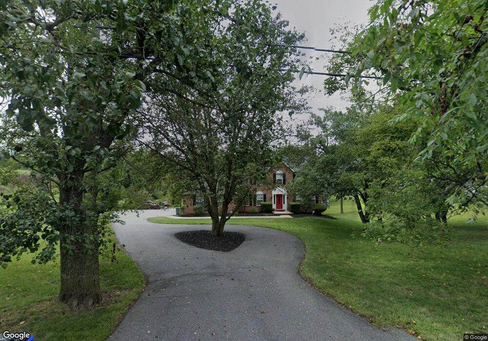
1110 Driver Rd Marriottsville, MD 21104
Estimated Value: $739,000 - $913,000
--
Bed
3
Baths
2,616
Sq Ft
$308/Sq Ft
Est. Value
About This Home
This home is located at 1110 Driver Rd, Marriottsville, MD 21104 and is currently estimated at $805,361, approximately $307 per square foot. 1110 Driver Rd is a home located in Howard County with nearby schools including West Friendship Elementary School, Mount View Middle School, and Marriotts Ridge High School.
Ownership History
Date
Name
Owned For
Owner Type
Purchase Details
Closed on
Nov 6, 2008
Sold by
Wood John Bradshaw
Bought by
Wood John Bradshaw and Wood Clarice A
Current Estimated Value
Purchase Details
Closed on
Aug 19, 2008
Sold by
Wood John Bradshaw
Bought by
Wood John Bradshaw and Wood Clarice A
Purchase Details
Closed on
Apr 14, 2003
Sold by
Wood John B
Bought by
Wood John Bradshaw
Purchase Details
Closed on
Apr 23, 1998
Sold by
Wilder Building Corporation
Bought by
Wood John B and Wood Maygret Jo
Create a Home Valuation Report for This Property
The Home Valuation Report is an in-depth analysis detailing your home's value as well as a comparison with similar homes in the area
Home Values in the Area
Average Home Value in this Area
Purchase History
| Date | Buyer | Sale Price | Title Company |
|---|---|---|---|
| Wood John Bradshaw | -- | -- | |
| Wood John Bradshaw | -- | -- | |
| Wood John Bradshaw | -- | -- | |
| Wood John B | $297,900 | -- |
Source: Public Records
Mortgage History
| Date | Status | Borrower | Loan Amount |
|---|---|---|---|
| Closed | Wood John B | -- |
Source: Public Records
Tax History Compared to Growth
Tax History
| Year | Tax Paid | Tax Assessment Tax Assessment Total Assessment is a certain percentage of the fair market value that is determined by local assessors to be the total taxable value of land and additions on the property. | Land | Improvement |
|---|---|---|---|---|
| 2025 | $8,517 | $615,800 | $0 | $0 |
| 2024 | $8,517 | $579,000 | $247,500 | $331,500 |
| 2023 | $8,077 | $558,367 | $0 | $0 |
| 2022 | $7,757 | $537,733 | $0 | $0 |
| 2021 | $7,477 | $517,100 | $231,300 | $285,800 |
| 2020 | $7,477 | $517,100 | $231,300 | $285,800 |
| 2019 | $7,477 | $517,100 | $231,300 | $285,800 |
| 2018 | $7,455 | $544,900 | $204,800 | $340,100 |
| 2017 | $7,223 | $544,900 | $0 | $0 |
| 2016 | -- | $513,433 | $0 | $0 |
| 2015 | -- | $497,700 | $0 | $0 |
| 2014 | -- | $497,700 | $0 | $0 |
Source: Public Records
Map
Nearby Homes
- 1725 Marriottsville Rd
- 1800 Mount Denali Dr
- 1795 Marriottsville Rd
- 11100 Chambers Ct Unit C
- 11100 Chambers Ct Unit F
- 11120 Chambers Ct Unit Q
- 11130 Chambers Ct Unit H
- 11150 Chambers Ct Unit H
- 1060 Henryton Rd
- 11180 Chambers Ct Unit E
- 10719 Old Court Rd
- 2241 John Gravel Rd Unit M
- 10313 Cavey Ln
- 2231 John Gravel Rd Unit L
- 10628 Saint Paul Ave
- 10645 Davis Ave
- 2218 Bromley Ct
- 2350 Adam David Way
- 2208 Merion Pond
- 1336 Crows Foot Rd
- 1100 Driver Rd
- 1090 Driver Rd
- 1080 Driver Rd
- 1070 Driver Rd
- 1200 Driver Rd
- 1140 Driver Rd
- 1060 Driver Rd
- 1230 Driver Rd
- 1050 Driver Rd
- 1201 Driver Rd
- 1260 Driver Rd
- 950 Driver Rd
- 1264 Cornelius Ct
- 1270 Driver Rd
- 1268 Cornelius Ct
- 1261 Sugar Maple Dr
- 1200 Sugar Maple Dr
- 1265 Sugar Maple Dr
- 1290 Driver Rd
- 1267 Cornelius Ct