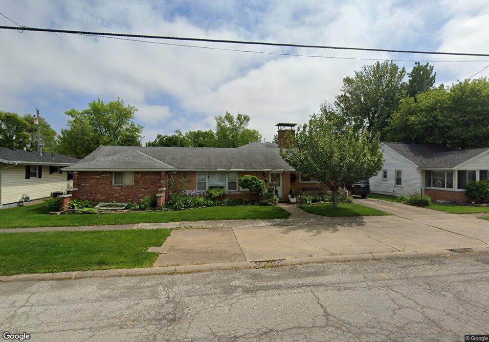
1110 E 3rd St Port Clinton, OH 43452
Estimated Value: $205,000 - $239,679
2
Beds
2
Baths
1,636
Sq Ft
$134/Sq Ft
Est. Value
About This Home
This home is located at 1110 E 3rd St, Port Clinton, OH 43452 and is currently estimated at $219,920, approximately $134 per square foot. 1110 E 3rd St is a home located in Ottawa County with nearby schools including Bataan Memorial Primary School, Bataan Memorial Intermediate School, and Port Clinton Middle School.
Ownership History
Date
Name
Owned For
Owner Type
Purchase Details
Closed on
May 28, 2004
Sold by
Bodi Raymond Michael
Bought by
Hilton Amy M
Current Estimated Value
Home Financials for this Owner
Home Financials are based on the most recent Mortgage that was taken out on this home.
Original Mortgage
$63,500
Outstanding Balance
$30,854
Interest Rate
5.91%
Mortgage Type
Purchase Money Mortgage
Estimated Equity
$189,066
Purchase Details
Closed on
Mar 11, 2004
Sold by
Estate Of Delores M Bodi
Bought by
Bodi Raymond T
Create a Home Valuation Report for This Property
The Home Valuation Report is an in-depth analysis detailing your home's value as well as a comparison with similar homes in the area
Home Values in the Area
Average Home Value in this Area
Purchase History
| Date | Buyer | Sale Price | Title Company |
|---|---|---|---|
| Hilton Amy M | $60,000 | Hartung Title Agency Inc | |
| Bodi Raymond T | -- | -- |
Source: Public Records
Mortgage History
| Date | Status | Borrower | Loan Amount |
|---|---|---|---|
| Open | Hilton Amy M | $63,500 |
Source: Public Records
Tax History
| Year | Tax Paid | Tax Assessment Tax Assessment Total Assessment is a certain percentage of the fair market value that is determined by local assessors to be the total taxable value of land and additions on the property. | Land | Improvement |
|---|---|---|---|---|
| 2024 | $1,788 | $52,679 | $7,798 | $44,881 |
| 2023 | $1,825 | $44,163 | $5,775 | $38,388 |
| 2022 | $1,713 | $44,163 | $5,775 | $38,388 |
| 2021 | $1,711 | $44,170 | $5,780 | $38,390 |
| 2020 | $1,527 | $41,280 | $5,400 | $35,880 |
| 2019 | $1,511 | $41,280 | $5,400 | $35,880 |
| 2018 | $1,509 | $41,280 | $5,400 | $35,880 |
| 2017 | $1,458 | $39,250 | $5,400 | $33,850 |
| 2016 | $1,461 | $39,250 | $5,400 | $33,850 |
| 2015 | $1,466 | $39,250 | $5,400 | $33,850 |
| 2014 | $740 | $39,250 | $5,400 | $33,850 |
| 2013 | $1,482 | $39,250 | $5,400 | $33,850 |
Source: Public Records
Map
Nearby Homes
- 35 N Beach St
- 29 N Beach St
- 232 Beech St
- 801 E 3rd St
- 116 Walnut St
- 188 Driftwood Dr
- 164 Driftwood Dr
- 525 E 2nd St
- 521 E 2nd St
- 423 Fulton St
- 199 Morningside Dr
- 111 Morningside Dr
- 122 Washington St
- 1801 E Perry St Unit 22
- 1807 E Perry St Unit 69
- 2621 N Peachtree Lane # Sublot 1
- 2453 N Peachtree Lane # Sublot 7
- 2481 N Peachtree Lane # Sublot 6
- 2565 N Peachtree Lane # Sublot 3
- 0 Mouse Island Unit 20252634