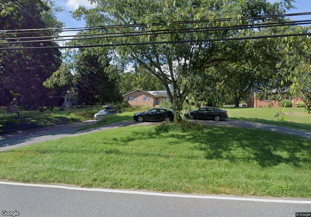
1110 Ednor Rd Silver Spring, MD 20905
Ashton-Sandy Spring NeighborhoodEstimated Value: $609,653 - $689,000
4
Beds
3
Baths
1,800
Sq Ft
$357/Sq Ft
Est. Value
About This Home
This home is located at 1110 Ednor Rd, Silver Spring, MD 20905 and is currently estimated at $641,913, approximately $356 per square foot. 1110 Ednor Rd is a home located in Montgomery County with nearby schools including Cloverly Elementary School, William H. Farquhar Middle School, and James Hubert Blake High School.
Ownership History
Date
Name
Owned For
Owner Type
Purchase Details
Closed on
Feb 22, 2011
Sold by
Fegan Michael C and Fegan Michelle L
Bought by
Rupper Greg Scott and Rupper Angela Marie
Current Estimated Value
Purchase Details
Closed on
Feb 21, 2011
Sold by
Fegan Michael C and Fegan Michelle L
Bought by
Rupper Greg Scott and Rupper Angela Marie
Purchase Details
Closed on
Jul 10, 2001
Sold by
Crass Stephen S
Bought by
Fegan Michael C and Fegan Michelle L
Purchase Details
Closed on
Mar 22, 1999
Sold by
M Stephen S and M Crass K
Bought by
Crass Stephen S
Purchase Details
Closed on
Sep 23, 1996
Sold by
Schuett Henry G and Schuett L Schuett B
Bought by
M Stephen S and M Crass K
Create a Home Valuation Report for This Property
The Home Valuation Report is an in-depth analysis detailing your home's value as well as a comparison with similar homes in the area
Home Values in the Area
Average Home Value in this Area
Purchase History
| Date | Buyer | Sale Price | Title Company |
|---|---|---|---|
| Rupper Greg Scott | $362,500 | -- | |
| Rupper Greg Scott | $362,500 | -- | |
| Fegan Michael C | $238,000 | -- | |
| Crass Stephen S | -- | -- | |
| M Stephen S | $179,900 | -- |
Source: Public Records
Tax History
| Year | Tax Paid | Tax Assessment Tax Assessment Total Assessment is a certain percentage of the fair market value that is determined by local assessors to be the total taxable value of land and additions on the property. | Land | Improvement |
|---|---|---|---|---|
| 2025 | $6,664 | $540,867 | -- | -- |
| 2024 | $6,664 | $516,333 | $0 | $0 |
| 2023 | $5,646 | $491,800 | $263,100 | $228,700 |
| 2022 | $5,098 | $466,133 | $0 | $0 |
| 2021 | $3,987 | $440,467 | $0 | $0 |
| 2020 | $3,987 | $414,800 | $263,100 | $151,700 |
| 2019 | $3,851 | $412,233 | $0 | $0 |
| 2018 | $3,729 | $409,667 | $0 | $0 |
| 2017 | $4,405 | $407,100 | $0 | $0 |
| 2016 | -- | $389,167 | $0 | $0 |
| 2015 | $4,172 | $371,233 | $0 | $0 |
| 2014 | $4,172 | $353,300 | $0 | $0 |
Source: Public Records
Map
Nearby Homes
- 1325 Patuxent Dr
- 16612 Medinah Ct
- 1625 Ashton Rd
- 1225 Spencerville Rd
- 1400 Spencerville Rd
- 17812 Hidden Garden Ln
- 1216 Ashton Rd
- 15801 New Hampshire Ave
- 550 Bryants Nursery Rd
- 401 Bryants Nursery Rd
- 1320 Rainbow Dr
- 1600 Rainbow Dr
- 2307 Spencerville Rd
- 15408 Valencia St
- 15533 Thompson Rd
- 410 Norwood Rd
- 7033 Mink Hollow Rd
- 12425 Hill Crest
- 15325 Holly Grove Rd
- 15330 Hildegard Ln
- 1112 Ednor Rd
- 1108 Ednor Rd
- 1106 Ednor Rd
- 1114 Ednor Rd
- 17212 Donora Rd
- 1104 Ednor Rd
- 17216 Donora Rd
- 1102 Ednor Rd
- 1200 Ednor Rd
- 17220 Donora Rd
- 17215 Donora Rd
- 1013 Gadsden Ave
- 1011 Gadsden Ave
- 1009 Gadsden Ave
- 1007 Gadsden Ave
- 1202 Ednor Rd
- 1005 Gadsden Ave
- 1015 Gadsden Ave
- 1017 Gadsden Ave
- 1100 Ednor Rd
Your Personal Tour Guide
Ask me questions while you tour the home.