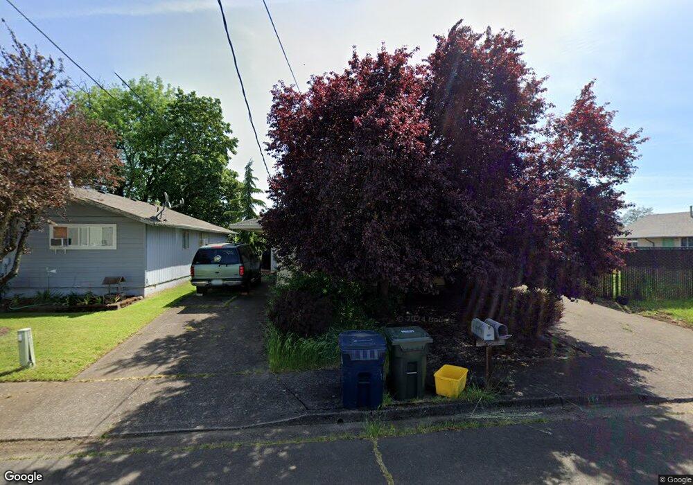
1110 Elm St Unit A Junction City, OR 97448
Estimated Value: $379,373 - $428,000
4
Beds
2
Baths
1,820
Sq Ft
$221/Sq Ft
Est. Value
About This Home
This home is located at 1110 Elm St Unit A, Junction City, OR 97448 and is currently estimated at $403,093, approximately $221 per square foot. 1110 Elm St Unit A is a home located in Lane County with nearby schools including Junction City High School.
Ownership History
Date
Name
Owned For
Owner Type
Purchase Details
Closed on
Mar 6, 2019
Sold by
Franssen P M and Franssen Shirley
Bought by
Moulton Levi J and Moulton Jeanette M
Current Estimated Value
Home Financials for this Owner
Home Financials are based on the most recent Mortgage that was taken out on this home.
Original Mortgage
$192,750
Outstanding Balance
$169,460
Interest Rate
4.4%
Mortgage Type
New Conventional
Estimated Equity
$233,633
Purchase Details
Closed on
Dec 16, 2012
Sold by
Antone Wayne L and Antone Susan
Bought by
Franssen P M and Franssen Shirley
Create a Home Valuation Report for This Property
The Home Valuation Report is an in-depth analysis detailing your home's value as well as a comparison with similar homes in the area
Home Values in the Area
Average Home Value in this Area
Purchase History
| Date | Buyer | Sale Price | Title Company |
|---|---|---|---|
| Moulton Levi J | $257,000 | Western Title & Escrow | |
| Franssen P M | $58,500 | None Available |
Source: Public Records
Mortgage History
| Date | Status | Borrower | Loan Amount |
|---|---|---|---|
| Open | Moulton Levi J | $192,750 |
Source: Public Records
Tax History Compared to Growth
Tax History
| Year | Tax Paid | Tax Assessment Tax Assessment Total Assessment is a certain percentage of the fair market value that is determined by local assessors to be the total taxable value of land and additions on the property. | Land | Improvement |
|---|---|---|---|---|
| 2024 | $3,212 | $191,351 | -- | -- |
| 2023 | $3,212 | $185,778 | $0 | $0 |
| 2022 | $2,997 | $180,367 | $0 | $0 |
| 2021 | $2,937 | $175,114 | $0 | $0 |
| 2020 | $2,843 | $170,014 | $0 | $0 |
| 2019 | $2,743 | $165,063 | $0 | $0 |
| 2018 | $2,651 | $155,588 | $0 | $0 |
| 2017 | $2,570 | $155,588 | $0 | $0 |
| 2016 | $2,475 | $151,056 | $0 | $0 |
| 2015 | $2,201 | $146,656 | $0 | $0 |
| 2014 | $2,210 | $142,384 | $0 | $0 |
Source: Public Records
Map
Nearby Homes
- 1191 Deal St
- 1021 Deal St
- 954 Elm St
- 1010 Birch Place
- 0 Holly St
- 810 Birch St
- 770 Birch St
- 1480 Ivy St
- 1262 Kalmia St
- 1377 Juniper St
- 617 Juniper St
- 985 Maple St
- 351 Juniper St
- 815 Nyssa St
- 260 Crona St
- 945 W 17th Ave
- 1225 W 10th Ave Unit 50
- 1225 W 10th Ave Unit 28
- 1225 W 10th Ave Unit 26
- 1011 Rose St