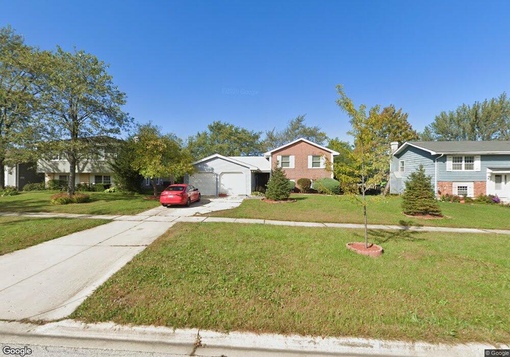
1110 Hassell Rd Hoffman Estates, IL 60169
High Point Park NeighborhoodEstimated Value: $436,821 - $512,000
4
Beds
3
Baths
2,500
Sq Ft
$191/Sq Ft
Est. Value
About This Home
This home is located at 1110 Hassell Rd, Hoffman Estates, IL 60169 and is currently estimated at $478,205, approximately $191 per square foot. 1110 Hassell Rd is a home located in Cook County with nearby schools including MacArthur International Spanish Academy, Dwight D Eisenhower Junior High School, and Hoffman Estates High School.
Ownership History
Date
Name
Owned For
Owner Type
Purchase Details
Closed on
Dec 17, 2018
Sold by
Marchenko Dmytro and Apopi Ana A
Bought by
Marchenko Dmytro and Apopi Ana A
Current Estimated Value
Purchase Details
Closed on
Apr 12, 2017
Sold by
Macdonald Albert P and Macdonald Karen
Bought by
Marchenko Dmytro
Home Financials for this Owner
Home Financials are based on the most recent Mortgage that was taken out on this home.
Original Mortgage
$287,693
Outstanding Balance
$237,960
Interest Rate
4.25%
Mortgage Type
FHA
Estimated Equity
$240,245
Purchase Details
Closed on
May 3, 2005
Sold by
Macdonald Albert P and Macdonald Karen
Bought by
Macdonald Albert P and Macdonald Karen
Home Financials for this Owner
Home Financials are based on the most recent Mortgage that was taken out on this home.
Original Mortgage
$210,000
Interest Rate
2.87%
Mortgage Type
Unknown
Create a Home Valuation Report for This Property
The Home Valuation Report is an in-depth analysis detailing your home's value as well as a comparison with similar homes in the area
Home Values in the Area
Average Home Value in this Area
Purchase History
| Date | Buyer | Sale Price | Title Company |
|---|---|---|---|
| Marchenko Dmytro | -- | Attorney | |
| Marchenko Dmytro | $293,000 | Chicago Title Insurance Comp | |
| Macdonald Albert P | -- | Title Source Inc |
Source: Public Records
Mortgage History
| Date | Status | Borrower | Loan Amount |
|---|---|---|---|
| Open | Marchenko Dmytro | $287,693 | |
| Previous Owner | Macdonald Albert P | $210,000 |
Source: Public Records
Tax History
| Year | Tax Paid | Tax Assessment Tax Assessment Total Assessment is a certain percentage of the fair market value that is determined by local assessors to be the total taxable value of land and additions on the property. | Land | Improvement |
|---|---|---|---|---|
| 2025 | $8,041 | $41,000 | $7,970 | $33,030 |
| 2024 | $8,041 | $29,517 | $6,642 | $22,875 |
| 2023 | $7,750 | $29,517 | $6,642 | $22,875 |
| 2022 | $7,750 | $29,517 | $6,642 | $22,875 |
| 2021 | $6,621 | $23,092 | $4,428 | $18,664 |
| 2020 | $6,541 | $23,092 | $4,428 | $18,664 |
| 2019 | $7,049 | $27,507 | $4,428 | $23,079 |
| 2018 | $8,525 | $26,143 | $3,763 | $22,380 |
| 2017 | $8,878 | $27,720 | $3,763 | $23,957 |
| 2016 | $8,258 | $27,720 | $3,763 | $23,957 |
| 2015 | $6,972 | $21,708 | $3,321 | $18,387 |
| 2014 | $5,460 | $21,708 | $3,321 | $18,387 |
| 2013 | $7,197 | $23,409 | $3,321 | $20,088 |
Source: Public Records
Map
Nearby Homes
- 1095 Lancaster Ct
- 1420 Hassell Rd
- 1665 Chippendale Rd
- 1360 Devonshire Ln
- 1930 Kenilworth Cir Unit E
- 1418 Bladon Rd
- 1975 Kenilworth Cir Unit B
- 1625 Dennison Rd
- 347 Arbor Glen Blvd
- 755 Cambridge Ln
- 1769 Sessions Walk Unit C
- 1722 Fayette Walk Unit E
- 1335 Blair Ln
- 1760 Bristol Walk Unit F
- 1840 Huntington Blvd Unit BW511
- 1840 Huntington Blvd Unit 203
- 1570 Jefferson Rd
- 1776 Bristol Walk Unit 1776
- 2021 Kensington Ln Unit 3004
- 2027 Kensington Ln Unit 3001
- 1120 Hassell Rd
- 1100 Hassell Rd
- 1115 Mayfield Ln
- 1125 Mayfield Ln
- 1130 Hassell Rd
- 1080 Hassell Rd
- 1105 Mayfield Ln
- 1135 Mayfield Ln
- 1085 Mayfield Ln
- 1140 Hassell Rd
- 1070 Hassell Rd
- 1095 Hassell Rd
- 1145 Mayfield Ln
- 1085 Hassell Rd
- 1105 Hassell Rd
- 1075 Mayfield Ln
- 1075 Hassell Rd
- 1150 Hassell Rd
- 1060 Hassell Rd
- 1155 Mayfield Ln
Your Personal Tour Guide
Ask me questions while you tour the home.