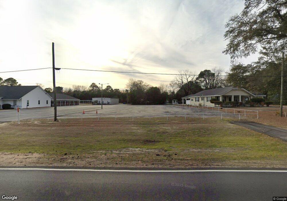
1110 Manning Rd Sumter, SC 29150
South Sumter NeighborhoodEstimated Value: $164,183
4
Beds
2
Baths
2,128
Sq Ft
$77/Sq Ft
Est. Value
About This Home
This home is located at 1110 Manning Rd, Sumter, SC 29150 and is currently estimated at $164,183, approximately $77 per square foot. 1110 Manning Rd is a home located in Sumter County with nearby schools including Wilder Elementary School, Bates Middle School, and Sumter High School.
Ownership History
Date
Name
Owned For
Owner Type
Purchase Details
Closed on
May 3, 2011
Sold by
Smith Charles M
Bought by
Mcknight Shanell M and Jackson Tyra S
Current Estimated Value
Home Financials for this Owner
Home Financials are based on the most recent Mortgage that was taken out on this home.
Original Mortgage
$69,336
Outstanding Balance
$47,557
Interest Rate
4.83%
Mortgage Type
FHA
Estimated Equity
$116,626
Purchase Details
Closed on
Mar 9, 2007
Sold by
Guaranty Residential Lending Inc
Bought by
Smith Charles
Purchase Details
Closed on
Mar 26, 2004
Sold by
Federal National Mortgage Association
Bought by
Guaranty Residential Lending Inc
Create a Home Valuation Report for This Property
The Home Valuation Report is an in-depth analysis detailing your home's value as well as a comparison with similar homes in the area
Home Values in the Area
Average Home Value in this Area
Purchase History
| Date | Buyer | Sale Price | Title Company |
|---|---|---|---|
| Mcknight Shanell M | $71,500 | -- | |
| Smith Charles | $25,000 | None Available | |
| Guaranty Residential Lending Inc | $500 | None Available |
Source: Public Records
Mortgage History
| Date | Status | Borrower | Loan Amount |
|---|---|---|---|
| Open | Mcknight Shanell M | $69,336 |
Source: Public Records
Tax History
| Year | Tax Paid | Tax Assessment Tax Assessment Total Assessment is a certain percentage of the fair market value that is determined by local assessors to be the total taxable value of land and additions on the property. | Land | Improvement |
|---|---|---|---|---|
| 2025 | $108 | $320 | $320 | -- |
| 2024 | $108 | $320 | $320 | -- |
| 2023 | $108 | $320 | $320 | $0 |
| 2022 | $108 | $320 | $320 | $0 |
| 2021 | $111 | $320 | $320 | $0 |
| 2020 | $111 | $320 | $320 | $0 |
| 2019 | $614 | $1,610 | $320 | $1,290 |
| 2018 | $235 | $1,100 | $220 | $880 |
| 2017 | $231 | $1,100 | $220 | $880 |
| 2016 | $241 | $1,100 | $220 | $880 |
| 2015 | $281 | $1,340 | $250 | $1,090 |
| 2014 | $281 | $1,340 | $250 | $1,090 |
| 2013 | -- | $1,340 | $250 | $1,090 |
Source: Public Records
Map
Nearby Homes
- 110 Webb Ave
- 1234 Ivey St
- 201 Webb Ave
- 1116 Pocalla Rd
- 10 Earle St
- 220 Alexander Place
- 230 Alexander Place
- 113 Laurel St
- 501 Knightbridge Rd
- 13 Harrison St
- 706 Nelson St
- 118 & 116 Hoyt St
- 1023 Decatur St
- 725 S Sumter St
- 757 Maney St
- 974 Meadowbrook Rd
- 956 Meadowbrook Rd
- 960 Morningside Dr
- 205 Brand St
- 944 Morningside Dr
- 1110 Manning Rd
- 1106 Manning Rd
- 1102 Manning Rd
- 8 W Patricia Dr
- 1105 Daisy Dr
- 1107 Daisy Dr
- 1105 Manning Rd
- 1109 Manning Rd
- 10 W Patricia Dr
- 1109 Manning Rd
- 3 Weatherly Rd
- 12 W Patricia Dr
- 14 W Patricia Dr
- 8 E Patricia Dr
- 16 W Patricia Dr
- 1122 Manning Rd
- 1302 White Horse St
- 10 Wilder St
- 9 W Patricia Dr
- 1119 Daisy Dr
Your Personal Tour Guide
Ask me questions while you tour the home.