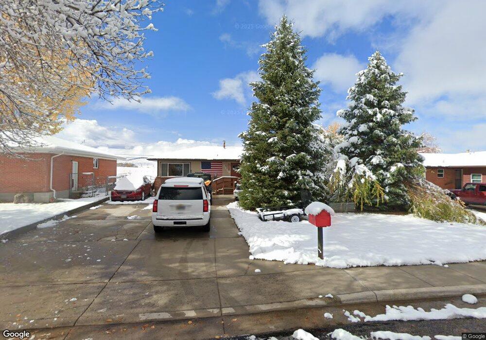
1110 Mcdougall Dr Unit Cliff Lander, WY 82520
Estimated Value: $359,453 - $409,000
4
Beds
3
Baths
1,314
Sq Ft
$289/Sq Ft
Est. Value
About This Home
This home is located at 1110 Mcdougall Dr Unit Cliff, Lander, WY 82520 and is currently estimated at $380,151, approximately $289 per square foot. 1110 Mcdougall Dr Unit Cliff is a home located in Fremont County with nearby schools including Lander Valley High School and Lander Christian Academy.
Ownership History
Date
Name
Owned For
Owner Type
Purchase Details
Closed on
Mar 14, 2019
Sold by
Milleson David J
Bought by
Swenson Tim F and Swenson Leah L
Current Estimated Value
Home Financials for this Owner
Home Financials are based on the most recent Mortgage that was taken out on this home.
Original Mortgage
$243,950
Outstanding Balance
$214,474
Interest Rate
4.4%
Mortgage Type
New Conventional
Estimated Equity
$165,677
Purchase Details
Closed on
Mar 14, 2017
Sold by
Wyoming Community Development Authority
Bought by
Milleson David J
Home Financials for this Owner
Home Financials are based on the most recent Mortgage that was taken out on this home.
Original Mortgage
$92,720
Interest Rate
4.1%
Mortgage Type
Credit Line Revolving
Create a Home Valuation Report for This Property
The Home Valuation Report is an in-depth analysis detailing your home's value as well as a comparison with similar homes in the area
Home Values in the Area
Average Home Value in this Area
Purchase History
| Date | Buyer | Sale Price | Title Company |
|---|---|---|---|
| Swenson Tim F | -- | None Available | |
| Milleson David J | -- | None Available |
Source: Public Records
Mortgage History
| Date | Status | Borrower | Loan Amount |
|---|---|---|---|
| Open | Swenson Tim F | $243,950 | |
| Previous Owner | Milleson David J | $92,720 |
Source: Public Records
Tax History Compared to Growth
Tax History
| Year | Tax Paid | Tax Assessment Tax Assessment Total Assessment is a certain percentage of the fair market value that is determined by local assessors to be the total taxable value of land and additions on the property. | Land | Improvement |
|---|---|---|---|---|
| 2025 | $2,618 | $26,122 | $3,798 | $22,324 |
| 2024 | $2,618 | $33,916 | $5,063 | $28,853 |
| 2023 | $2,500 | $32,649 | $4,906 | $27,743 |
| 2022 | $2,062 | $27,527 | $4,906 | $22,621 |
| 2021 | $1,836 | $23,723 | $4,782 | $18,941 |
| 2020 | $1,702 | $22,032 | $4,782 | $17,250 |
| 2019 | $662 | $8,430 | $4,743 | $3,687 |
| 2018 | $730 | $9,195 | $4,743 | $4,452 |
| 2017 | $1,439 | $18,083 | $4,743 | $13,340 |
| 2016 | $1,440 | $18,128 | $4,743 | $13,385 |
| 2015 | $1,437 | $18,295 | $4,743 | $13,552 |
| 2014 | $1,354 | $17,257 | $4,743 | $12,514 |
Source: Public Records
Map
Nearby Homes
- 791 Garner Dr
- 980 Spriggs Dr
- 824 Vance Dr
- 200 Irwin Ln
- 908 11th St
- 608 W Brodie St
- 654 W Main St
- 120 Roaring Fork Ct
- 745 S 5th St
- 225 Chapman St
- 1400 Sinks Canyon Rd
- 635 Lincoln St
- 329 S 4th St
- 333 Cascade St
- 350 Canyon St
- 655 Amoretti St
- 655 N 10th St
- 275 Cascade St
- 665 6th Street Ct
- 1530 W Main St
- 1110 Mcdougall Dr
- 1120 Mcdougall Dr
- 1100 Mcdougall Dr
- 1100 Mcdougall Dr Unit S. 9th
- 1100 Mcdougall Dr Unit Smith
- 1130 Mcdougall Dr
- 1090 Mcdougall Dr
- 1125 Mcdougall Dr
- 1125 Mcdougall Dr Unit Cliff St
- 1115 Mcdougall Dr
- 1105 Mcdougall Dr
- 1140 Mcdougall Dr
- 1040 Cliff St
- 1080 Mcdougall Dr
- 1145 Mcdougall Dr
- 1095 Mcdougall Dr
- 1030 Cliff St
- 1055 Cliff St
- 1085 Mcdougall Dr
- 1070 Mcdougall Dr