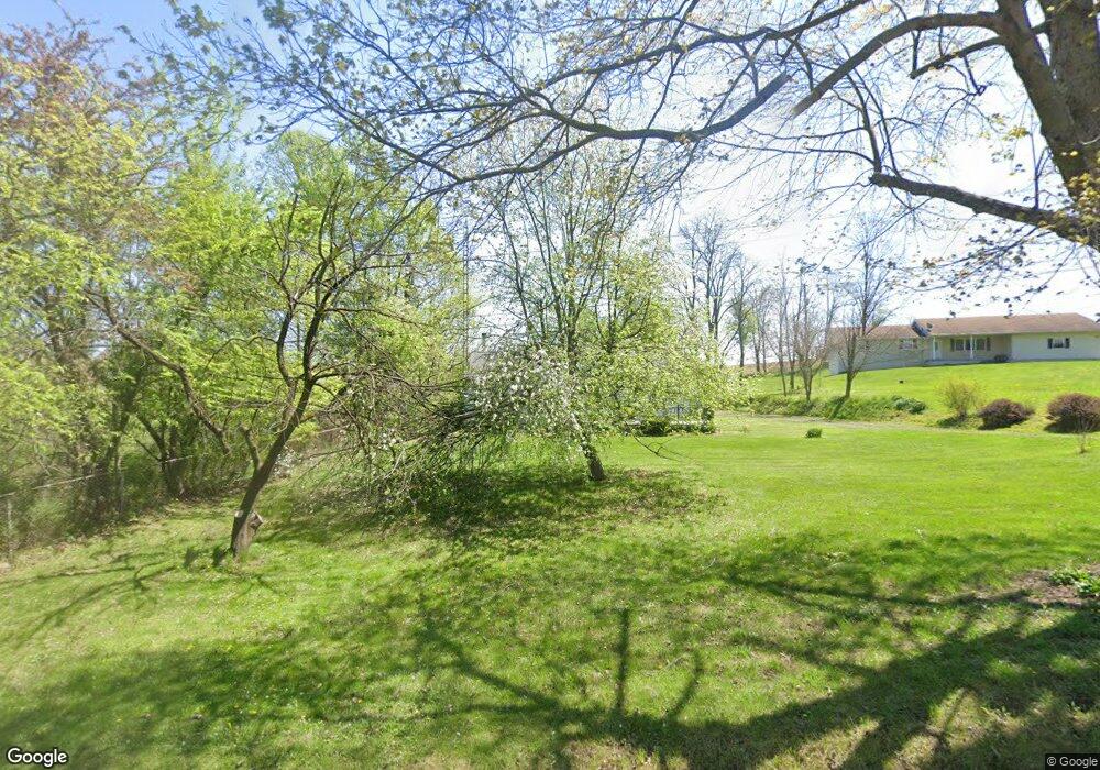
1110 Morgan Rd Zanesville, OH 43701
Estimated Value: $211,000 - $325,390
2
Beds
1
Bath
1,056
Sq Ft
$230/Sq Ft
Est. Value
About This Home
This home is located at 1110 Morgan Rd, Zanesville, OH 43701 and is currently estimated at $242,848, approximately $229 per square foot. 1110 Morgan Rd is a home located in Muskingum County with nearby schools including West Muskingum High School.
Ownership History
Date
Name
Owned For
Owner Type
Purchase Details
Closed on
Jun 1, 2005
Sold by
Federal Home Loan Bank Of Indianapolis
Bought by
Abn Amro Mortgage Group Inc
Current Estimated Value
Purchase Details
Closed on
Mar 8, 2005
Sold by
Abn Amro Mortgage Group Inc
Bought by
Meadows Debra S
Home Financials for this Owner
Home Financials are based on the most recent Mortgage that was taken out on this home.
Original Mortgage
$68,000
Interest Rate
5.82%
Mortgage Type
Fannie Mae Freddie Mac
Purchase Details
Closed on
Mar 6, 2001
Sold by
Mcguirk Francis H
Bought by
Mckinley Tammy L
Home Financials for this Owner
Home Financials are based on the most recent Mortgage that was taken out on this home.
Original Mortgage
$106,250
Interest Rate
7.06%
Mortgage Type
New Conventional
Create a Home Valuation Report for This Property
The Home Valuation Report is an in-depth analysis detailing your home's value as well as a comparison with similar homes in the area
Home Values in the Area
Average Home Value in this Area
Purchase History
| Date | Buyer | Sale Price | Title Company |
|---|---|---|---|
| Abn Amro Mortgage Group Inc | -- | -- | |
| Meadows Debra S | $85,000 | -- | |
| Mckinley Tammy L | $96,000 | -- |
Source: Public Records
Mortgage History
| Date | Status | Borrower | Loan Amount |
|---|---|---|---|
| Previous Owner | Meadows Debra S | $68,000 | |
| Previous Owner | Mckinley Tammy L | $106,250 |
Source: Public Records
Tax History Compared to Growth
Tax History
| Year | Tax Paid | Tax Assessment Tax Assessment Total Assessment is a certain percentage of the fair market value that is determined by local assessors to be the total taxable value of land and additions on the property. | Land | Improvement |
|---|---|---|---|---|
| 2024 | $1,847 | $59,360 | $13,265 | $46,095 |
| 2023 | $1,413 | $43,785 | $10,395 | $33,390 |
| 2022 | $1,746 | $43,785 | $10,395 | $33,390 |
| 2021 | $1,727 | $43,785 | $10,395 | $33,390 |
| 2020 | $1,473 | $36,505 | $8,680 | $27,825 |
| 2019 | $1,477 | $36,505 | $8,680 | $27,825 |
| 2018 | $1,410 | $36,505 | $8,680 | $27,825 |
| 2017 | $1,095 | $27,440 | $8,680 | $18,760 |
| 2016 | $1,101 | $27,440 | $8,680 | $18,760 |
| 2015 | $1,139 | $27,440 | $8,680 | $18,760 |
| 2013 | $1,136 | $27,440 | $8,680 | $18,760 |
Source: Public Records
Map
Nearby Homes
- 0 Black Rd Unit 25134065
- 0 Black Rd Unit 5163493
- 0 Black Rd Unit 225038404
- 7600 Ridge Rd
- 2151 Stacy Ln
- 0 Trapp Ln
- 935 Hopewell Rd S
- 7515 West Pike
- 337 Timber Run Rd
- 1515 Meadow Farm Church Rd
- 9995 West Pike
- 745 N Hopewell Rd
- 380 Rhonda Dr
- 5700 Old Coopermill Rd
- 8019 Kroft Rd
- 2967 Opera Rd
- 5800 Wortman Rd
- 560 Walnut Hills Dr
- 0 N Hopewell Rd Unit 5166486
- 0 N Hopewell Rd Unit 5166487
- 1140 Morgan Rd
- 1145 Morgan Rd
- 1080 Morgan Rd
- 1250 Morgan Rd
- 1200 Black Rd
- 1260 Morgan Rd
- 1215 Black Rd
- 1070 Black Rd
- 1170 Black Rd
- 1110 Black Rd
- 1 Morgan Rd
- 9675 Coopermill Rd
- 8555 Coopermill Rd
- 970 Black Rd
- 0 Coopermill Rd Unit 3309788
- 0 Coopermill Rd Unit 5039285
- 0 Coopermill Rd Unit 4438050
- 0 Coopermill Rd Unit 4396492
- 0 Coopermill Rd Unit 4333367
- 0 Coopermill Rd Unit 221045021
