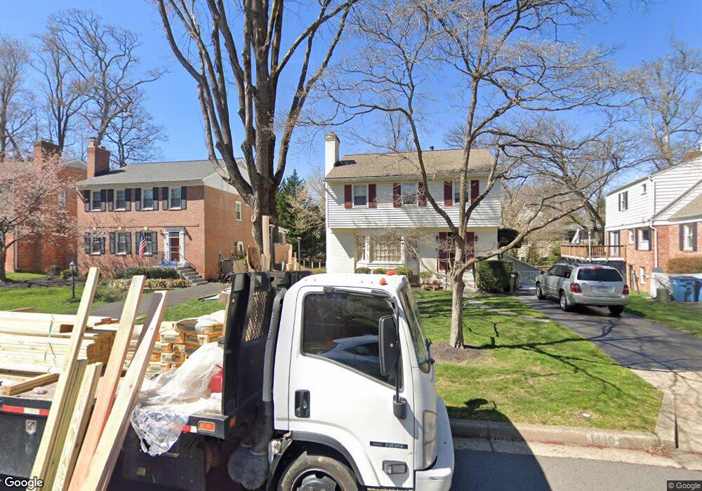
1110 Randolph Rd McLean, VA 22101
Estimated Value: $1,056,710 - $1,162,000
3
Beds
4
Baths
1,842
Sq Ft
$602/Sq Ft
Est. Value
About This Home
This home is located at 1110 Randolph Rd, McLean, VA 22101 and is currently estimated at $1,109,355, approximately $602 per square foot. 1110 Randolph Rd is a home located in Fairfax County with nearby schools including Churchill Road Elementary School, Cooper Middle School, and Langley High School.
Ownership History
Date
Name
Owned For
Owner Type
Purchase Details
Closed on
Jun 11, 2018
Bought by
Maimone Carol M and Maimone Carol Maria
Current Estimated Value
Home Financials for this Owner
Home Financials are based on the most recent Mortgage that was taken out on this home.
Original Mortgage
$50,000
Interest Rate
4.54%
Purchase Details
Closed on
Apr 4, 2018
Sold by
Maimone Carol Maria
Bought by
Maimone Carol Maria
Create a Home Valuation Report for This Property
The Home Valuation Report is an in-depth analysis detailing your home's value as well as a comparison with similar homes in the area
Home Values in the Area
Average Home Value in this Area
Purchase History
| Date | Buyer | Sale Price | Title Company |
|---|---|---|---|
| Maimone Carol M | $435,000 | -- | |
| Maimone Carol Maria | -- | None Available | |
| Maimone Carol Maria | -- | None Available |
Source: Public Records
Mortgage History
| Date | Status | Borrower | Loan Amount |
|---|---|---|---|
| Previous Owner | Maimone Carol M | $50,000 | |
| Previous Owner | Maimone Carol M | -- |
Source: Public Records
Tax History
| Year | Tax Paid | Tax Assessment Tax Assessment Total Assessment is a certain percentage of the fair market value that is determined by local assessors to be the total taxable value of land and additions on the property. | Land | Improvement |
|---|---|---|---|---|
| 2025 | $9,040 | $788,390 | $261,000 | $527,390 |
| 2024 | $9,040 | $765,140 | $251,000 | $514,140 |
| 2023 | $8,344 | $724,610 | $229,000 | $495,610 |
| 2022 | $7,672 | $657,700 | $183,000 | $474,700 |
| 2021 | $7,481 | $625,260 | $183,000 | $442,260 |
| 2020 | $6,862 | $568,780 | $174,000 | $394,780 |
| 2019 | $6,792 | $562,950 | $174,000 | $388,950 |
| 2018 | $6,252 | $543,650 | $169,000 | $374,650 |
| 2017 | $6,255 | $528,300 | $161,000 | $367,300 |
| 2016 | $6,281 | $531,640 | $161,000 | $370,640 |
Source: Public Records
Map
Nearby Homes
- 1109 Ingleside Ave
- 1146 Wimbledon Dr
- 1101 Dead Run Dr
- 6871 Churchill Rd
- 1104 Sharon Ct
- 6910 Bright Ave
- 1201 Allendale Rd
- 7011 Elizabeth Dr
- 6634 Madison Mclean Dr
- 7022 Hector Rd
- 1105 Carper St
- 6601 Madison Mclean Dr
- 6619 Weatheford Ct
- 6800 Fleetwood Rd Unit 705
- 6909 Chelsea Rd
- 6625 Weatheford Ct
- 6911 Elm St
- 6900 Fleetwood Rd Unit 600
- 1316 Calder Rd
- 913 Whann Ave
- 1108 Randolph Rd
- 1102 Randolph Rd
- 6815 Baron Rd
- 1112 Randolph Rd
- 1114 Randolph Rd
- 1118 Randolph Rd
- 1120 Randolph Rd
- 6817 Baron Rd
- 1113 Randolph Rd
- 1122 Randolph Rd
- 6801 Baron Rd
- 1101 Ingleside Ave
- 1115 Randolph Rd
- 1057 Douglass Dr
- 1117 Randolph Rd
- 1119 Randolph Rd
- 1126 Randolph Rd
- 6804 Baron Rd
- 1121 Randolph Rd
Your Personal Tour Guide
Ask me questions while you tour the home.