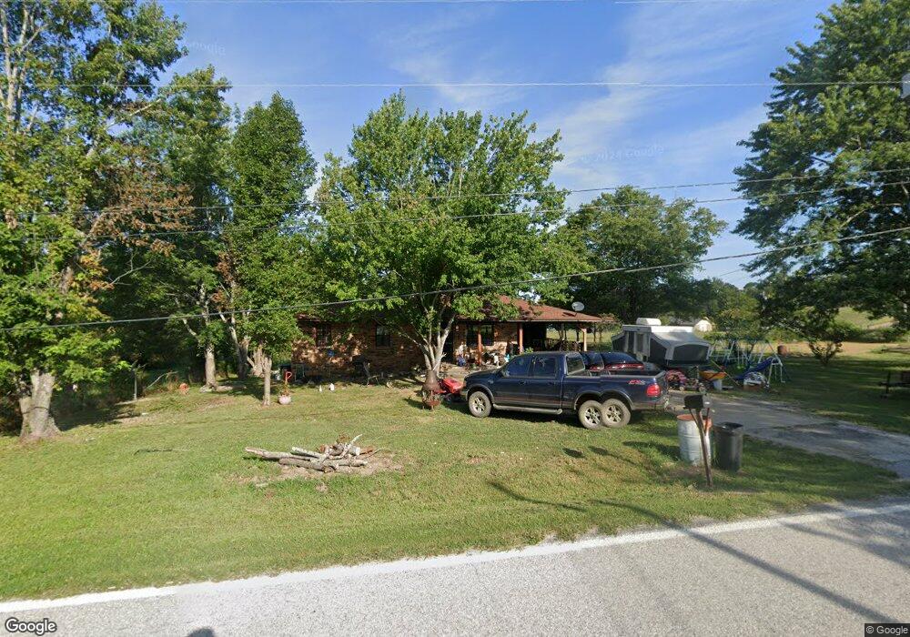
1110 S Highway 27 Marshall, AR 72650
Estimated Value: $51,000 - $137,000
--
Bed
1
Bath
1,136
Sq Ft
$81/Sq Ft
Est. Value
About This Home
This home is located at 1110 S Highway 27, Marshall, AR 72650 and is currently estimated at $91,936, approximately $80 per square foot. 1110 S Highway 27 is a home located in Searcy County with nearby schools including Marshall Elementary School, Leslie Elementary School, and Marshall High School.
Ownership History
Date
Name
Owned For
Owner Type
Purchase Details
Closed on
Dec 13, 2017
Sold by
Morton Beverly and Ragland Kristie L
Bought by
Parks Robert E and Park Linda S
Current Estimated Value
Home Financials for this Owner
Home Financials are based on the most recent Mortgage that was taken out on this home.
Original Mortgage
$44,995
Outstanding Balance
$31,588
Interest Rate
3.94%
Mortgage Type
Purchase Money Mortgage
Estimated Equity
$60,348
Purchase Details
Closed on
Feb 3, 2000
Bought by
Smithson Beverly A
Create a Home Valuation Report for This Property
The Home Valuation Report is an in-depth analysis detailing your home's value as well as a comparison with similar homes in the area
Home Values in the Area
Average Home Value in this Area
Purchase History
| Date | Buyer | Sale Price | Title Company |
|---|---|---|---|
| Parks Robert E | $50,000 | First National Title Company | |
| Smithson Beverly A | -- | -- |
Source: Public Records
Mortgage History
| Date | Status | Borrower | Loan Amount |
|---|---|---|---|
| Open | Parks Robert E | $44,995 |
Source: Public Records
Tax History Compared to Growth
Tax History
| Year | Tax Paid | Tax Assessment Tax Assessment Total Assessment is a certain percentage of the fair market value that is determined by local assessors to be the total taxable value of land and additions on the property. | Land | Improvement |
|---|---|---|---|---|
| 2024 | $581 | $13,270 | $810 | $12,460 |
| 2023 | $533 | $13,270 | $810 | $12,460 |
| 2022 | $533 | $13,270 | $810 | $12,460 |
| 2021 | $480 | $9,220 | $810 | $8,410 |
| 2020 | $480 | $9,220 | $810 | $8,410 |
| 2019 | $498 | $9,220 | $810 | $8,410 |
| 2018 | $498 | $9,220 | $810 | $8,410 |
| 2017 | $80 | $8,260 | $810 | $7,450 |
| 2016 | $71 | $8,260 | $810 | $7,450 |
| 2014 | $389 | $8,260 | $810 | $7,450 |
Source: Public Records
Map
Nearby Homes
- 117 S Spring St
- 111 S Spring St
- 301 W Campus St
- 303 W Campus St
- 211 W Campus St
- 00 Arkansas 27
- 9227 Arkansas 27
- 9505 Arkansas 27
- 8883 Arkansas 27
- 400 Canaan Rd
- 100 E College St
- 705 S 27 Hwy
- 00 S 65 (W Range St Easement Access) Hwy
- 300 Range St
- 203 Range St
- 705 E Main St
- 102 Pecan St
- 401 E Main St
- 100 Pecan St
- 104 Boyd Cir
- 1110 S Highway 27
- 1108 S Highway 27
- 1109 S Highway 27
- 1105 S Highway 27
- 1106 S Highway 27
- 1103 S Highway 27
- 104 Canaan Acres Dr
- 119 S Spring St
- 106 Canaan Acres Dr
- 102 Wallis St
- 104 Wallis St
- 106 Wallis St
- 100 Wallis St
- 115 S Spring St
- 115 S Spring St
- 115 S Spring St
- 108 Canaan Acres Dr
- 1010 S Highway 27
- 1010 S Hwy 27
- 113 S Spring St