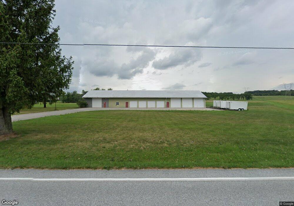
1110 Table Rock Rd Unit 1 Gettysburg, PA 17325
Estimated Value: $358,994
3
Beds
2
Baths
1,170
Sq Ft
$307/Sq Ft
Est. Value
About This Home
This home is located at 1110 Table Rock Rd Unit 1, Gettysburg, PA 17325 and is currently estimated at $358,994, approximately $306 per square foot. 1110 Table Rock Rd Unit 1 is a home located in Adams County with nearby schools including Gettysburg Area High School, Vida Charter School, and St. Francis Xavier Catholic School.
Ownership History
Date
Name
Owned For
Owner Type
Purchase Details
Closed on
Nov 20, 2018
Sold by
Crouse Joyce L
Bought by
Big R Properties Llc
Current Estimated Value
Home Financials for this Owner
Home Financials are based on the most recent Mortgage that was taken out on this home.
Original Mortgage
$275,000
Outstanding Balance
$241,807
Interest Rate
4.8%
Mortgage Type
Purchase Money Mortgage
Estimated Equity
$117,187
Purchase Details
Closed on
Oct 9, 1975
Bought by
Crouse Ned D and Crouse Joyce L
Create a Home Valuation Report for This Property
The Home Valuation Report is an in-depth analysis detailing your home's value as well as a comparison with similar homes in the area
Home Values in the Area
Average Home Value in this Area
Purchase History
| Date | Buyer | Sale Price | Title Company |
|---|---|---|---|
| Big R Properties Llc | $240,000 | -- | |
| Crouse Ned D | $4,600 | -- |
Source: Public Records
Mortgage History
| Date | Status | Borrower | Loan Amount |
|---|---|---|---|
| Open | Big R Properties Llc | $275,000 |
Source: Public Records
Tax History Compared to Growth
Tax History
| Year | Tax Paid | Tax Assessment Tax Assessment Total Assessment is a certain percentage of the fair market value that is determined by local assessors to be the total taxable value of land and additions on the property. | Land | Improvement |
|---|---|---|---|---|
| 2025 | $4,994 | $267,600 | $80,000 | $187,600 |
| 2024 | $4,776 | $267,600 | $80,000 | $187,600 |
| 2023 | $4,709 | $267,600 | $80,000 | $187,600 |
| 2022 | $4,668 | $267,600 | $80,000 | $187,600 |
| 2021 | $4,578 | $267,600 | $80,000 | $187,600 |
| 2020 | $4,578 | $267,600 | $80,000 | $187,600 |
| 2019 | $6,099 | $358,800 | $100,500 | $258,300 |
| 2018 | $6,062 | $358,600 | $100,300 | $258,300 |
| 2017 | $5,728 | $358,600 | $100,300 | $258,300 |
| 2016 | -- | $358,600 | $100,300 | $258,300 |
| 2015 | -- | $358,600 | $100,300 | $258,300 |
| 2014 | -- | $358,600 | $100,300 | $258,300 |
Source: Public Records
Map
Nearby Homes
- 10 White Oak Trail
- 35 Herrs Ridge Rd
- 1314 Biglerville Rd
- 874 Boyds School Rd Unit 6
- 53 Windsor Ct
- 56 Windsor Ct
- 54 Windsor Ct
- 52 Windsor Ct
- 49 Windsor Ct
- 42 Windsor Ct
- 40 Windsor Ct
- 38 Windsor Ct
- 45 Windsor Ct
- 47 Windsor Ct
- York II Garage Plan at Table Rock Terrace - Table Rock Terrace Townhomes
- DELMAR Plan at The Townes at Cambridge
- 31 Winslow Ct
- 25 Apple Ave Unit 3
- 2165 Old Harrisburg Rd Unit 2
- 1310 Goldenville Rd
- 1110 Table Rock Rd
- 1085 Table Rock Rd
- 965 Table Rock Rd
- 940 Table Rock Rd
- 881 Table Rock Rd
- 1260 Table Rock Rd Unit 4
- 1199 Table Rock Rd
- 1199 Table Rock Rd
- 1875 Biglerville Rd
- 843 Table Rock Rd
- 340 Good Intent Rd
- 340 Good Intent Rd
- 1375 Table Rock Rd
- 1867 Biglerville Rd
- 1380 Table Rock Rd
- 1857 Biglerville Rd
- 140 Table Rock Rd
- 138 Table Rock Rd
- 136 Table Rock Rd
- 132 Table Rock Rd