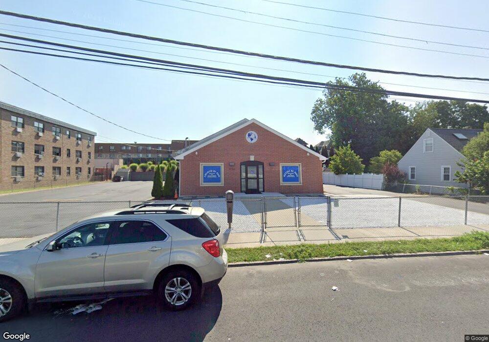
1110 William St Bridge Port, CT 06608
North Bridgeport NeighborhoodEstimated Value: $627,531
Studio
--
Bath
3,296
Sq Ft
$190/Sq Ft
Est. Value
About This Home
This home is located at 1110 William St, Bridge Port, CT 06608 and is currently estimated at $627,531, approximately $190 per square foot. 1110 William St is a home located in Fairfield County with nearby schools including Read School, Harding High School, and Achievement First Bridgeport Academy Elementary School.
Ownership History
Date
Name
Owned For
Owner Type
Purchase Details
Closed on
Apr 17, 2017
Sold by
All Saints Church Inc
Bought by
Minist Iglesia De Dios
Current Estimated Value
Purchase Details
Closed on
Aug 2, 2011
Sold by
Synod New England
Bought by
Gethsemani Iglesia
Create a Home Valuation Report for This Property
The Home Valuation Report is an in-depth analysis detailing your home's value as well as a comparison with similar homes in the area
Home Values in the Area
Average Home Value in this Area
Purchase History
| Date | Buyer | Sale Price | Title Company |
|---|---|---|---|
| Minist Iglesia De Dios | $370,000 | -- | |
| Iglesia De Dios Minist | $370,000 | -- | |
| Gethsemani Iglesia | $400,000 | -- | |
| Iglesia Gethsemani | $400,000 | -- |
Source: Public Records
Mortgage History
| Date | Status | Borrower | Loan Amount |
|---|---|---|---|
| Previous Owner | Iglesia Gethsemani | $120,000 |
Source: Public Records
Tax History
| Year | Tax Paid | Tax Assessment Tax Assessment Total Assessment is a certain percentage of the fair market value that is determined by local assessors to be the total taxable value of land and additions on the property. | Land | Improvement |
|---|---|---|---|---|
| 2025 | $0 | $407,590 | $53,510 | $354,080 |
| 2024 | -- | $407,590 | $53,510 | $354,080 |
| 2023 | $0 | $407,590 | $53,510 | $354,080 |
| 2022 | $0 | $407,590 | $53,510 | $354,080 |
| 2021 | $0 | $407,590 | $53,510 | $354,080 |
| 2020 | $0 | $348,950 | $25,370 | $323,580 |
| 2019 | $0 | $325,760 | $25,370 | $300,390 |
| 2018 | $0 | $325,760 | $25,370 | $300,390 |
| 2017 | $0 | $325,760 | $25,370 | $300,390 |
| 2016 | -- | $325,760 | $25,370 | $300,390 |
| 2015 | -- | $367,220 | $52,700 | $314,520 |
| 2014 | $15,497 | $367,220 | $52,700 | $314,520 |
Source: Public Records
Map
Nearby Homes
- 386-388 Huntington Rd
- 744 Park St
- 750 William St
- 1218 Kossuth St
- 142 Palm St
- 690 William St
- 500 Park St
- 108 Lindley St Unit 114
- 502 Berkshire Ave
- 2031 E Main St
- 619 Brooks St Unit 621
- 100-102 Ashley St
- 2034 E Main St
- 34-40 Hayes St
- 1365 E Main St
- 369 Park St
- 2092-2096 E Main St
- 46 York St
- 2100-2102 E Main St
- 274 Park St
- 1088 William St
- 1078 William St
- 1148 William St Unit 108
- 1148 William St Unit 304
- 1148 William St Unit 203
- 1089 William St
- 1109 William St
- 1068 William St
- 1135 William St
- 1099 William St
- 1071 William St
- 1315 Noble Ave Unit 10C
- 1315 Noble Ave Unit 9C
- 1315 Noble Ave Unit 8C
- 1315 Noble Ave Unit 7C
- 1315 Noble Ave Unit 6C
- 1315 Noble Ave Unit 5C
- 1315 Noble Ave Unit 4C
- 1315 Noble Ave Unit 3C
- 1315 Noble Ave Unit 2C
Your Personal Tour Guide
Ask me questions while you tour the home.