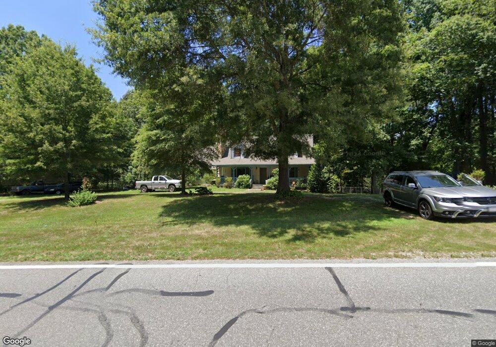
11100 Nc Highway 49 S Liberty, NC 27298
Estimated Value: $302,000 - $355,000
3
Beds
2
Baths
1,560
Sq Ft
$205/Sq Ft
Est. Value
About This Home
This home is located at 11100 Nc Highway 49 S, Liberty, NC 27298 and is currently estimated at $320,000, approximately $205 per square foot. 11100 Nc Highway 49 S is a home located in Alamance County with nearby schools including Sylvan Elementary School, Southern Alamance Middle School, and Southern Alamance High School.
Ownership History
Date
Name
Owned For
Owner Type
Purchase Details
Closed on
Jul 28, 2000
Sold by
Dodson Terri Ann
Bought by
Church Sandy D
Current Estimated Value
Home Financials for this Owner
Home Financials are based on the most recent Mortgage that was taken out on this home.
Original Mortgage
$120,000
Outstanding Balance
$43,203
Interest Rate
8.12%
Estimated Equity
$276,797
Create a Home Valuation Report for This Property
The Home Valuation Report is an in-depth analysis detailing your home's value as well as a comparison with similar homes in the area
Home Values in the Area
Average Home Value in this Area
Purchase History
| Date | Buyer | Sale Price | Title Company |
|---|---|---|---|
| Church Sandy D | -- | -- |
Source: Public Records
Mortgage History
| Date | Status | Borrower | Loan Amount |
|---|---|---|---|
| Open | Church Sandy D | $120,000 |
Source: Public Records
Tax History Compared to Growth
Tax History
| Year | Tax Paid | Tax Assessment Tax Assessment Total Assessment is a certain percentage of the fair market value that is determined by local assessors to be the total taxable value of land and additions on the property. | Land | Improvement |
|---|---|---|---|---|
| 2025 | $1,809 | $304,558 | $36,853 | $267,705 |
| 2024 | $1,694 | $304,558 | $36,853 | $267,705 |
| 2023 | $1,574 | $304,558 | $36,853 | $267,705 |
| 2022 | $1,308 | $169,561 | $33,305 | $136,256 |
| 2021 | $1,324 | $169,561 | $33,305 | $136,256 |
| 2020 | $1,291 | $169,561 | $33,305 | $136,256 |
| 2019 | $1,297 | $169,561 | $33,305 | $136,256 |
| 2018 | $0 | $169,561 | $33,305 | $136,256 |
| 2017 | $1,139 | $169,561 | $33,305 | $136,256 |
| 2016 | $1,155 | $171,083 | $30,031 | $141,052 |
| 2015 | $1,149 | $171,083 | $30,031 | $141,052 |
| 2014 | -- | $171,083 | $30,031 | $141,052 |
Source: Public Records
Map
Nearby Homes
- 7182 Nc Highway 49 N
- 503 Beaver Dam Rd
- 543 Beaver Dam Rd
- 604 Oakdale St
- 511 E Butler Ave
- 634 E Swannanoa Ave
- 424 E Brookwood Ave
- 540 N Timberlea St
- 530 E Raleigh Ave
- 5484 Old 421 Rd
- 812 N Greenbriar St
- 334 E Swannanoa Ave
- 503 N Greenbriar St
- 328 E Raleigh Ave
- 605 N Asheboro St
- 429 N Asheboro St
- 519 N Staley St
- 4815 Liberty Grove Rd
- 228 Pickett Cir
- 212 S Fayetteville St
- 11126 Nc Highway 49 S
- 11007 Nc Highway 49 S
- 7529 Hummingbird Ln
- 7435 Nc Highway 49 N
- 0 Hummingbird Ln
- 10939 Nc Highway 49 S
- 4788 Wall Farm Dr
- 7463 Hummingbird Ln
- 7470 Cardinal Ct
- 7470 Cardinal Ct
- 10946 Nc Highway 49 S
- 49 S Nc Hwy
- 7353 Nc Highway 49 N
- 10936 Nc Highway 49 S
- 7454 Hummingbird Ln
- 7335 Nc Highway 49 N
- 7321 State Highway 49
- 7321 Nc Highway 49 N
- 10859 Nc Highway 49 S
- 4835 Wall Farm Dr