11100 Wildcat Bridge Rd Danielsville, GA 30633
Estimated Value: $250,000 - $337,000
--
Bed
2
Baths
1,803
Sq Ft
$163/Sq Ft
Est. Value
About This Home
This home is located at 11100 Wildcat Bridge Rd, Danielsville, GA 30633 and is currently estimated at $293,166, approximately $162 per square foot. 11100 Wildcat Bridge Rd is a home located in Madison County with nearby schools including Madison County High School.
Ownership History
Date
Name
Owned For
Owner Type
Purchase Details
Closed on
Dec 29, 2010
Sold by
Holloway Randy P
Bought by
Holloway Brenda F
Current Estimated Value
Purchase Details
Closed on
Mar 4, 2002
Sold by
Phillips Donald T
Bought by
Holloway Randy P
Purchase Details
Closed on
Apr 1, 1998
Sold by
Phillips Donald T
Bought by
Phillips Donald T
Purchase Details
Closed on
Jan 1, 1983
Bought by
Phillips Donald T
Create a Home Valuation Report for This Property
The Home Valuation Report is an in-depth analysis detailing your home's value as well as a comparison with similar homes in the area
Home Values in the Area
Average Home Value in this Area
Purchase History
| Date | Buyer | Sale Price | Title Company |
|---|---|---|---|
| Holloway Brenda F | -- | -- | |
| Holloway Randy P | $67,500 | -- | |
| Phillips Donald T | -- | -- | |
| Phillips Donald T | -- | -- |
Source: Public Records
Tax History Compared to Growth
Tax History
| Year | Tax Paid | Tax Assessment Tax Assessment Total Assessment is a certain percentage of the fair market value that is determined by local assessors to be the total taxable value of land and additions on the property. | Land | Improvement |
|---|---|---|---|---|
| 2024 | $2,223 | $85,425 | $41,760 | $43,665 |
| 2023 | $1,962 | $75,392 | $34,800 | $40,592 |
| 2022 | $1,652 | $59,891 | $23,925 | $35,966 |
| 2021 | $1,577 | $51,669 | $23,925 | $27,744 |
| 2020 | $1,481 | $48,189 | $20,445 | $27,744 |
| 2019 | $1,479 | $47,569 | $20,445 | $27,124 |
| 2018 | $1,406 | $45,064 | $18,705 | $26,359 |
| 2017 | $1,303 | $45,249 | $17,400 | $27,849 |
| 2016 | $1,158 | $40,331 | $17,400 | $22,931 |
| 2015 | $1,158 | $40,331 | $17,400 | $22,931 |
| 2014 | $1,192 | $41,268 | $18,281 | $22,987 |
| 2013 | -- | $41,268 | $18,281 | $22,987 |
Source: Public Records
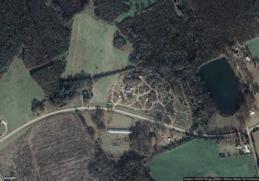
Map
Nearby Homes
- 0 Hwy 29 N Unit 10574548
- 0 Hwy 29 N Unit CL335575
- 1885 Highway 29 N
- 0 Georgia 191
- 107 Hill Lake Rd
- 0 Cedar Ln Unit 1026097
- 0 Cedar Ln Unit 10530523
- 0 Irvin Kirk Rd
- 0 Hwy 191 Unit CL339505
- 255 Hillwood Dr Unit 1
- 430 Sherwood Cir
- 105 Georgia 98
- 28 Acres Irvin Kirk Rd
- 0 New Haven Church Rd Unit CL334534
- 0 New Haven Church Rd Unit 10566118
- 0 New Haven Church Rd Unit CL334526
- 0 New Haven Church Rd Unit 10566119
- 795 E Jones Chapel Rd
- 170 Northridge Dr
- 150 Northridge Dr Unit 3
- 11039 Wildcat Bridge Rd
- 11190 Wildcat Bridge Rd
- 11017 Wildcat Bridge Rd
- 10792 Wildcat Bridge Rd
- 10792 Wildcat Bridge Rd
- 11306 Wildcat Bridge Rd
- 515 Garrett Randall Rd
- 11458 Wildcat Bridge Rd
- 11520 Wildcat Bridge Rd
- 10627 Wildcat Bridge Rd
- 11449 Wildcat Bridge Rd
- 11552 Wildcat Bridge Rd
- 11584 Wildcat Bridge Rd
- 11590 Wildcat Bridge Rd
- 143 Fowler Forman Ln
- 11571 Wildcat Bridge Rd
- 187 Hickory Hills Rd
- 695 Fowler-Freeman Rd
- 747 Fowler-Freeman Rd
- 10412 Wildcat Bridge Rd