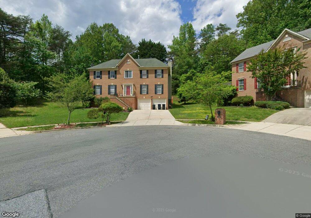
11101 Brookdale Ln Upper Marlboro, MD 20772
Estimated Value: $529,893 - $606,000
--
Bed
3
Baths
2,814
Sq Ft
$205/Sq Ft
Est. Value
About This Home
This home is located at 11101 Brookdale Ln, Upper Marlboro, MD 20772 and is currently estimated at $577,473, approximately $205 per square foot. 11101 Brookdale Ln is a home located in Prince George's County with nearby schools including Barack Obama Elementary School, James Madison Middle School, and Dr. Henry A. Wise Jr. High School.
Ownership History
Date
Name
Owned For
Owner Type
Purchase Details
Closed on
Dec 17, 2021
Sold by
Berry Stephen E and Berry Laurie A
Bought by
Berry Stephen E and Berry Laurie A
Current Estimated Value
Home Financials for this Owner
Home Financials are based on the most recent Mortgage that was taken out on this home.
Original Mortgage
$98,000
Interest Rate
3.11%
Mortgage Type
New Conventional
Purchase Details
Closed on
Dec 5, 1990
Sold by
Lovell Regency
Bought by
Berry Stephen E and Berry Laurie A
Create a Home Valuation Report for This Property
The Home Valuation Report is an in-depth analysis detailing your home's value as well as a comparison with similar homes in the area
Home Values in the Area
Average Home Value in this Area
Purchase History
| Date | Buyer | Sale Price | Title Company |
|---|---|---|---|
| Berry Stephen E | $98,000 | Stewart Title Company | |
| Berry Stephen E | $209,000 | -- |
Source: Public Records
Mortgage History
| Date | Status | Borrower | Loan Amount |
|---|---|---|---|
| Previous Owner | Berry Stephen E | $98,000 |
Source: Public Records
Tax History Compared to Growth
Tax History
| Year | Tax Paid | Tax Assessment Tax Assessment Total Assessment is a certain percentage of the fair market value that is determined by local assessors to be the total taxable value of land and additions on the property. | Land | Improvement |
|---|---|---|---|---|
| 2025 | $5,884 | $475,700 | $141,800 | $333,900 |
| 2024 | $5,884 | $443,833 | $0 | $0 |
| 2023 | $5,631 | $411,967 | $0 | $0 |
| 2022 | $5,322 | $380,100 | $101,800 | $278,300 |
| 2021 | $5,097 | $363,867 | $0 | $0 |
| 2020 | $4,989 | $347,633 | $0 | $0 |
| 2019 | $4,853 | $331,400 | $100,900 | $230,500 |
| 2018 | $4,768 | $331,000 | $0 | $0 |
| 2017 | $4,712 | $330,600 | $0 | $0 |
| 2016 | -- | $330,200 | $0 | $0 |
| 2015 | $4,596 | $324,767 | $0 | $0 |
| 2014 | $4,596 | $319,333 | $0 | $0 |
Source: Public Records
Map
Nearby Homes
- 5020 Ashford Dr
- 5005 Ashford Dr
- 5308 Thomas Sim Lee Terrace
- 10610 Mary Carroll Ct
- 10611 Mary Carroll Ct
- 4521 Thoroughbred Dr
- 11504 Carriage Crossing Dr
- 4506 Cross Country Terrace
- 4504 Cross Country Terrace
- 4506 Grazing Way
- 11007 Meridian Hill Way
- 4408 Thoroughbred Dr
- 4804 Bridle Ridge Rd
- 11015 Blanton Way Unit B - STRAUSS E
- 4902 Bridle Ridge Rd
- 10733 Blanton Way
- 10733 Blanton Way Unit WA2339C
- 10931 Blanton Way Unit A
- 5405 Billenca Ln
- 10917 Blanton Way Unit A
- 11103 Brookdale Ln
- 11100 Brookdale Ln
- 5010 Ashford Dr
- 11105 Brookdale Ln
- 11102 Brookdale Ln
- 5008 Ashford Dr
- 11106 Brookdale Ln
- 5012 Ashford Dr
- 5004 Ashford Dr
- 5006 Ashford Dr
- 5002 Ashford Dr
- 5000 Ashford Dr
- 11101 Lynford Ct
- 11101 Tenbury Ct
- 5014 Ashford Dr
- 11100 Lynford Ct
- 11108 Brookdale Ln
- 11107 Brookdale Ln
- 5018 Ashford Dr
- 11100 Tenbury Ct